
Directions
From Sandy, travel east on Highway 26 for approximately 40 miles to Skyline Road (Road 42). Turn right onto Skyline Road and travel south for 9 miles to the campground.
Phone
503-630-5721
Activities
BOATING, HISTORIC & CULTURAL SITE, CAMPING, FISHING, HIKING, WILDLIFE VIEWING, SWIMMING SITE
Keywords
JOE1,MT. HOOD NF – FS
Related Link(s)
Overview
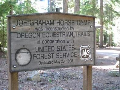
Joe Graham Horse Campground is a beautiful equestrian camp with views of majestic Mt. Hood and its surrounding forest. It provides access to a variety of hiking, mountain biking and horseback riding trails, as well as scenic historic sites.
Recreation
Clackamas Lake is a great place for fishing, swimming and non-motorized boating. Anglers can expect a catch of cutthroat, brook, rainbow and German brown trout. Nearby Timothy Lake provides opportunities for picnicking as well as water-related recreation, including the use of power boats.
The Clackamas Lake Ranger Station Historic District is less than a mile from the campground. The structures and cabins were built to house forest service workers in the early 1900s. Rustic architecture and the historic nature of the buildings and the surrounding area draws thousands of visitors each year. It is a must-see while staying at the campground.
Hiking, mountain biking and horseback riding are popular activities. The 1-mile Joe Graham Trail begins in the campground and connects to the Pacific Crest Trail, which extends more than 2,650 miles through California, Oregon and Washington as it stretches from Mexico to Canada. Trails to scenic Little Crater Lake and the Mt. Jefferson Wilderness are also nearby.
Facilities
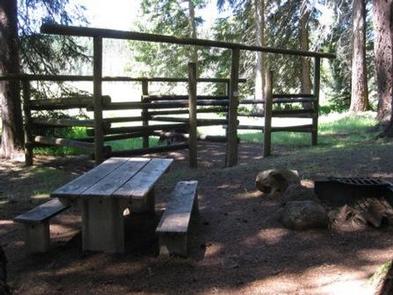
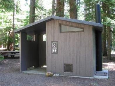
The campground offers single-family equestrian campsites. Most of the sites are equipped with horse corrals, tables and campfire rings with grills. Accessible vault toilets and drinking water are provided. Horse owners are responsible for cleaning up after their horses.
The campsites are intended for equestrians with horses only. Clackamas Lake Campground across the meadow is a good alternative site for those without horses.
Natural Features
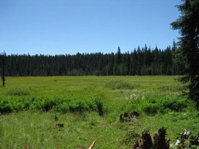
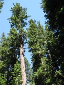
The campground is located in Mt. Hood National Forest at an elevation of about 3,350 feet. It is near Clackamas Lake and larger Timothy Lake. The campground sits among a forest of tall fir trees near a marshy meadow. A variety of wildlife makes its home in the area.
Nearby Attractions
The campground is less than 40 miles from Mt. Hood, where a historic lookout provides scenic views of the snow-capped mountain. Hiking and year-round skiing is available there.