


Directions
From Petersburg, it is 28 miles by float plane. From Kake, it is 18 miles by boat or 1.75 miles from the roadside near Kake. A 15-foot tide is required for boats or float planes to directly access the cabin. A 1-mile hike across mudflats is warranted at lower tides. Part of the trail crosses a tide flat, so there is no trail access during high tide. Please check tide charts in advance.
The cabin can be found on USGS topographic map Petersburg D6. Maps are available online or by calling the Petersburg Ranger District at (907) 772-3871.
Phone
907-772-3871
Activities
CAMPING, FISHING, HIKING, HUNTING, WILDLIFE VIEWING
Keywords
BJOH,TONGASS NF – FS
Related Link(s)
Overview
Big John Bay Cabin is located at the north end of Big John Bay in Rocky Pass (Keku Strait) on Kupreanof Island. It provides access to great recreational activities and spectacular scenery in southeastern Alaska. Visitors enjoy fishing, hiking, hunting and viewing wildlife.
The cabin can be accessed by boat or trail from the town of Kake, or by float plane from Petersburg. Tides can impact access, requiring up to a mile hike from the boat at low tide. The trail can be affected at high tide. Visitors are responsible for their own travel arrangements and safety, and must bring several of their own amenities.
Recreation
The cabin provides access to good waterfowl hunting opportunities. Hunting is available as per state or federal hunting regulations; click here for more information from the Alaska Department of Fish and Game. Fishing in the Hamilton and Big John Creeks are activities that are also enjoyed by visitors to the area. Trout, as well as pink and coho salmon, can be found there. The Big John Bay Trail can be difficult to follow, but provides access to the cabin from the community of Kake. There is no trail access during high tide (local tide tables). The route follows tide flats and then parallels a small creek until reaching the logging road. Additional hikes in the area include the Hamilton Bay, Goose Lake and Cathedral Falls Trails.
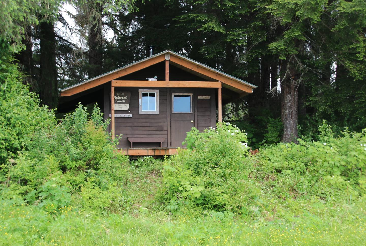
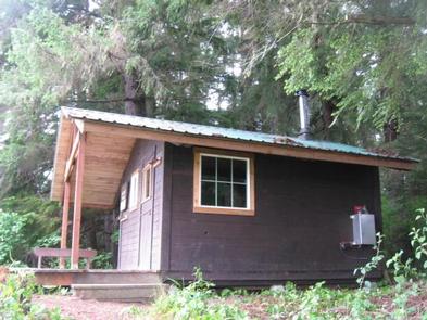
Facilities
The hunter-style cabin has bunks to sleep up to four people. It is equipped with a table, benches and an oil stove for heat. An outhouse with a pit toilet is provided. Water for drinking, cooking and cleaning is not provided at the cabin. Water taken from the nearby stream should be treated or boiled before consumption. Guests are encouraged to bring their own drinking water if possible. Heating oil is not supplied at the cabin, so visitors must bring enough kerosene or No. 1 heating oil for the oil heater. One gallon lasts about one day. Visitors also need to bring their own sleeping bags and pads, cook stove and cooking gear, towels, food, clothing, fire starter and garbage bags, among other necessities. All trash and food must be packed out, and visitors are expected to clean the cabin before leaving. Click here for more cabin details and maps.
Natural Features
The cabin is located on a tidal flat which becomes an islet at high tide, and sits on a small wooded point that faces a large expanse of tidal grass and saltwater flats. A small stream a quarter-mile north of the cabin is the nearest water source.
A variety of wildlife makes its home in the area, including waterfowl, grouse and black bears (learn about bear safety).