COOKSON LAKE DISPERSED CAMPSITE, MI Campground Reservation, Info, Images, Map, Directions

COOKSON LAKE DISPERSED CAMPSITE, Michigan Campground Images, Info & Reservations

Listen

Directions

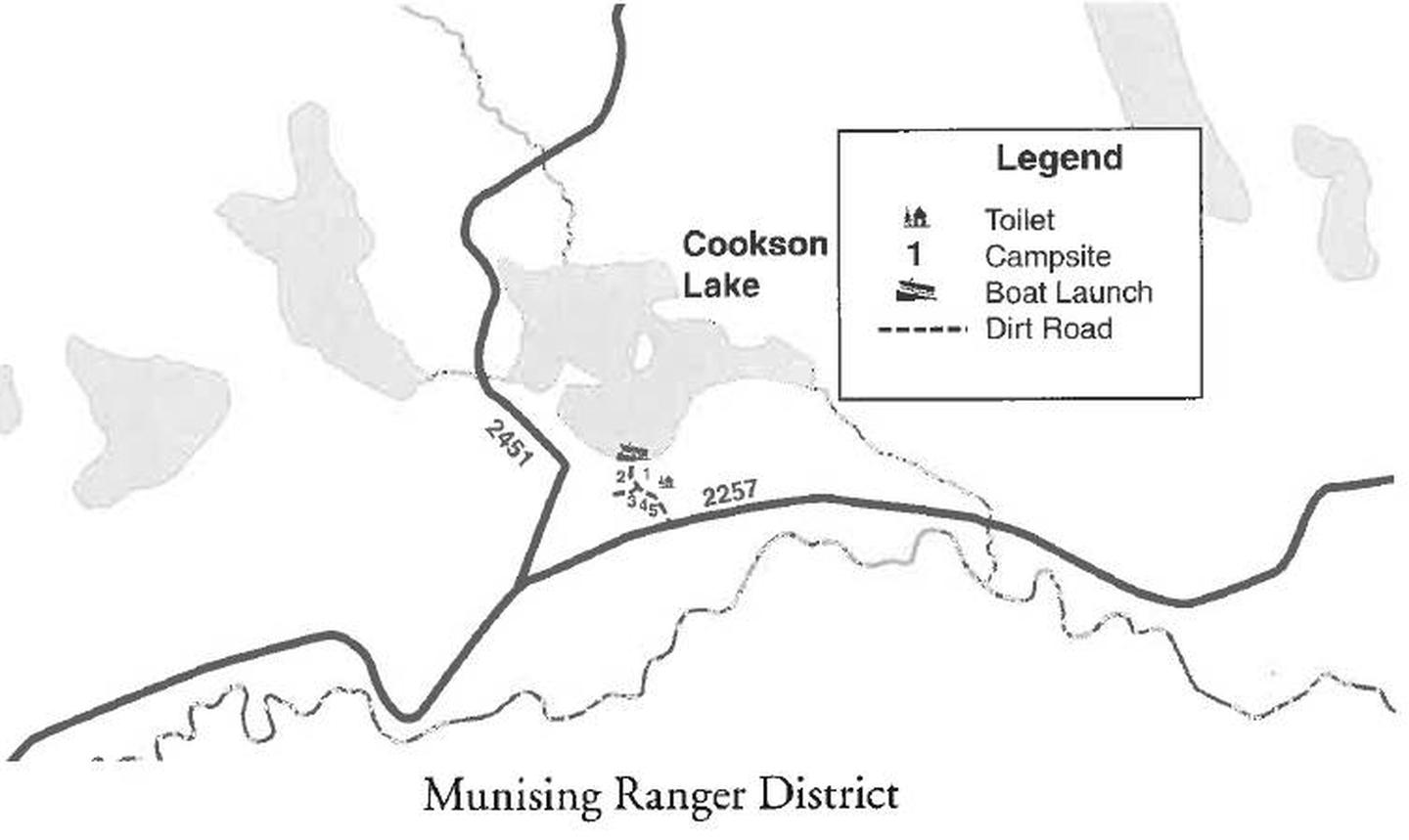
From Munising, Michigan, take State Route 28 east towards Shingleton. Turn south on Highway 13 at Wetmore. Turn left onto Forest Service Road 2258 and continue for about 5 miles. Just before reaching the bridge over the Indian River, turn east on Forest Service Road 2257. Travel about a mile and a half east to the campground.

Phone

906-387-2512

Activities

BIKING, BOATING, CAMPING, FISHING, SWIMMING SITE

Keywords

C114

Related Link(s)

Rec Area Info & Images

Michigan State Tourism

Michigan State Road Conditions

Overview

Cookson Lake Campsite offers a primitive place to stay in the thick of Michigan’s wilderness. Beautiful forests surround several lakes in the area, providing ample opportunity to enjoy nature in all its forms.

Recreation

Visitors enjoy swimming and fishing in the 35-acre adjacent lake. Largemouth bass, northern pike, bluegill and bullhead are among the typical catch. Licenses are required for fishing in Michigan waters.

Boating the lake is also a popular pastime, and a boat ramp is located near the campsite.

Facilities

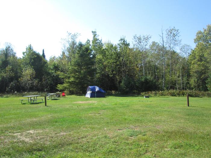
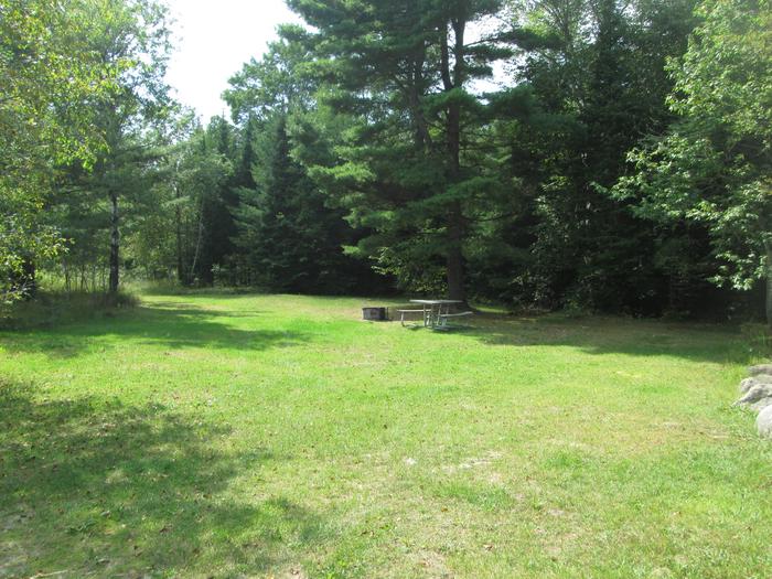
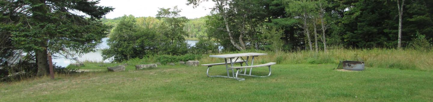
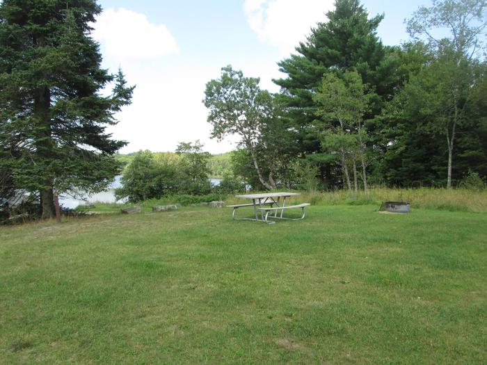
The campground offers five primitive campsites for tent and RV camping. Each offers tables and campfire rings. A pit toilet is located near one of the sites, but toilet paper is not provided.

Natural Features

The campsite is located in a large open field on the shores of Cookson Lake. The lake boasts two small islands, and a variety of wildflowers abound in the area during warmer months.

Nearby Attractions

Cookson Lake is near the Indian Wild and Scenic rivers and the Big Island Lake Wilderness Area.

Reservation

More from CampingHiking.net:

Bumping Lake Campground, Washington Campground Images, Info & Reservations

Listen Directions From Yakima, Washington, travel 25 miles on Highway 12 to the junction with Highway 410. Travel 29 miles on Highway 410 (Chinook Pass Highway) to milepost 88.4. Take Forest Road 18 (Bumping River Road) for 11.7 miles to campground. Phone 541-338-7869 Activities BIKING, BOATING, CAMPING, FISHING, HIKING, WATER

NORTH BEND PARK, Virginia Campground Images, Info & Reservations

Listen Directions The physical address for North Bend Park: 1930 Mays Chapel Road, Boydton, VA 23917. It is located approximately 20 miles west of South Hill, VA. Phone 434-738-0059 Activities BIKING, CAMPING, FISHING, HIKING, HUNTING, WILDLIFE VIEWING, SWIMMING SITE, DISC GOLF Keywords NORB,BUGGS ISLAND,JOHN H KERR DAM Related Link(s) Rec

EAST ROLLING HILLS PARK (KS), Kansas Campground Images, Info & Reservations

Listen Directions Take I-70 to exit 295, then 4.5 miles north to Hwy. 57, then east approximately 1.5 miles to park entrance. Phone 785-238-5714 Activities CAMPING, WILDLIFE VIEWING, SWIMMING SITE Keywords Related Link(s) Rec Area Info & Images Kansas State Tourism Kansas State Road Conditions Overview East Rolling Hills day

BULLTOWN CAMP, West Virginia Campground Images, Info & Reservations

Listen Directions From North of Charleston, WV and I-79, take Exit 67 (Flatwoods) and travel north on U.S. Highway 19 for 10 miles. Follow signs into campground. From Clarksburg, WV and I-79, take Exit 91 (Roanoke), travel south on U.S. 19 for 28 miles. Follow signs into campground. Physical Address:

FOXTAIL GRP PICNIC AREA, Nevada Campground Images, Info & Reservations

Listen Directions From Las Vegas, Nevada, take Highway 95 north to the junction with Highway 156/Lee Canyon, turn left and travel approximately 19 miles to the picnic area, which is on the left. Phone 702-872-5486 Activities BIKING, CAMPING, HIKING Keywords FOXT,MOUNT CHARLESTON,LAS VEGAS,SPRING MTNS NAT REC AREA,HUMBOLDT-TOIYABE NF-FS Related Link(s)