

Directions
From I-35, take Exit #55 or #51 and drive towards the city of Davis, OK. Once in Davis, go east towards Sulphur on Highway 7 Watch for the Chickasaw National Recreation Area signs to direct you to your selected area: Campgrounds, Boat Ramps, Pavilion, and Picnic Area.- Drive approximately 8 miles east on Highway 7 from Davis and turn south (right) on 12th Street in Sulphur. The road ends at a stop sign shortly after entering the park. Turn right at the stop sign and follow the signs to Veterans Lake Pavilion. A sign is posted in front of the pavilion for your convenience.
Phone
580-622-7234
Activities
BIKING, BOATING, CAMPING, FISHING, HIKING, WILDLIFE VIEWING, SWIMMING SITE
Keywords
Chickasaw National Recreation Area
Related Link(s)
Oklahoma State Road Conditions
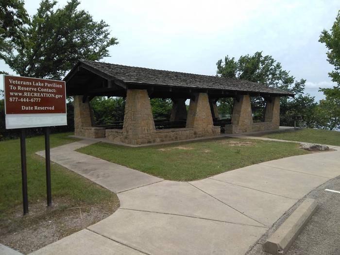
Overview
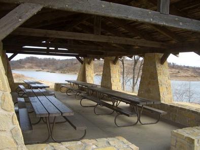
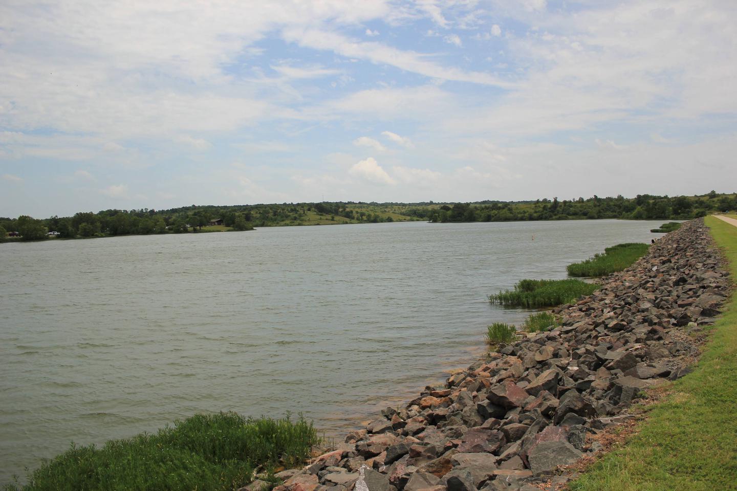
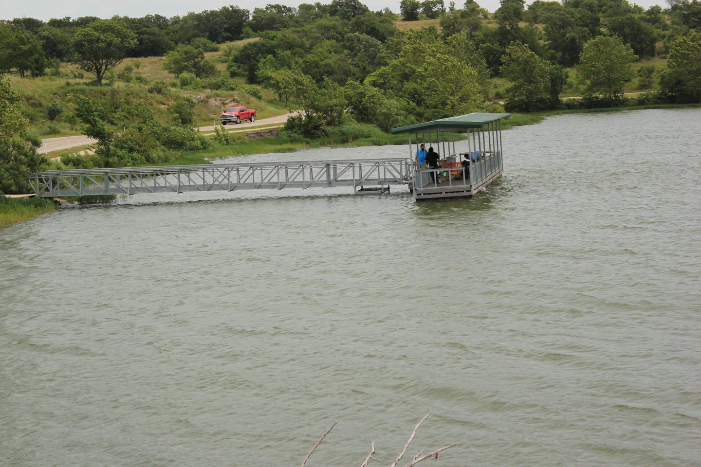
Veterans Lake Pavilion overlooks the north side of Veterans Lake, with a perfect view of colorful sunsets reflected in the lake. Veterans Lake, deemed a no-wake lake, is a ideal campground for water sports like kayaking, canoeing and fishing. The pavilion is easily accessible from nearby towns and is situated close to several hiking trails. Veterans Lake is part of the Platt Historic District in Chickasaw National Recreation Area. The district was named Platt National Park in 1906 and was one of the nation’s earliest national parks. In 1976, it merged with the Arbuckle National Recreation Area to form what is now Chickasaw.
Recreation
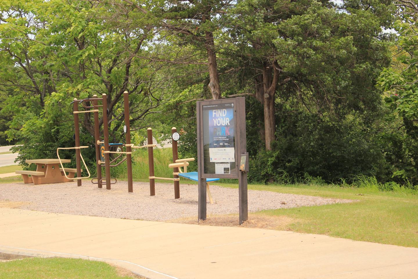
Swim, paddle or fish Veterans Lake, and hike or bike around the lake’s loop trail, called Veterans Trail. This is the only paved trail in the park, which makes it stroller and roller blade-friendly.
A bison pasture is just up the road, so bring the kids and cameras to see the beautiful animals grazing.
Facilities
The 80-person picnic area has easy access to a boat launch. There’s a grill but no electricity, so be sure to bring charcoal if you plan to have a cookout.
Natural Features
Chickasaw National Recreation Area is where two ecosystems, the eastern deciduous forest and the mixed-grass prairie of the west, converge. This creates unique geological formations and attracts a wide variety of plant and animal species.
Nearby Attractions
The Travertine Nature Center is worth a visit, as is the collection of springs nearby. Pavilion Springs, Black Sulphur Springs and Hillside Springs are the region’s remaining natural mineral springs and have historically been used for medicinal and restorative healing.