CHERRY HILL CAMPGROUND, SC Campground Reservation, Info, Images, Map, Directions

CHERRY HILL CAMPGROUND, South Carolina Campground Images, Info & Reservations

Directions

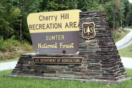
From Walhalla, go north 8 miles on State Highway 28. Turn right on Highway 107. Continue on Highway 107 for 9 miles. A sign for Cherry Hill Campground is on the right.
From Cashiers, NC, go south on Highway 107 for 9 miles. The sign for Cherry Hil will be on the left.

Phone

864-638-9568

Activities

CAMPING, FISHING, WILDLIFE VIEWING, FISH HATCHERY

Keywords

FRANCIS MARION-SUMTER NF – FS

Related Link(s)

Rec Area Info & Images

South Carolina State Road Conditions

South Carolina State Tourism

Overview

Open April 1 – October 31.

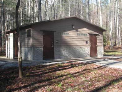
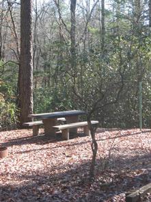
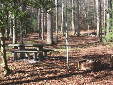
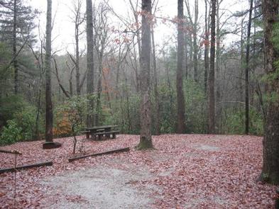
Cherry Hill is near the Chattooga Wild and Scenic River, and many miles of hiking trails. Site amenities include centrally-located drinking water, cooking grills, tables and lantern posts as well as a restroom with flush toilets and hot showers.

When you make a reservation, post one of the following on the clip provided at your site: a) Your confirmation letter. b) Your reservation number. c) The name of the person that the site is reserved for.

Reservation

More from CampingHiking.net:

PEAK ONE, Colorado Campground Images, Info & Reservations

Directions From I-70, take Frisco exit 203. Travel south on Highway 9 to Peninsula Recreation Area. Follow road approximately 2 miles to Peak One Campground. Please note that the new entrance to the campground is one-eighth mile south of the Frisco Peninsula Area. Phone 970-468-7681 Activities BIKING, BOATING, CAMPING, FISHING,

MCDONALD LAKE CABIN, Alaska Campground Images, Info & Reservations

Directions Approximately 50 miles from Ketchikan. Located on Cleveland Peninsula, north of Yes Bay. Cabin site is on Wolverine Island near outlet of lake. Access is by float plane or boat. There is a 1.5-mile hike by trail from Yes Bay Lodge at saltwater. Refer to USGS Ketchikan D-6. In

BOCA SPRING, California Campground Images, Info & Reservations

Directions From Reno, take I-80 west to Hirschdale Exit. Go north approximately 3 miles then turn right and go 1 mile to the campground. From Truckee, take I-80 east to Hirschdale exit. Turn left and travel approximately 3 miles then turn right and go 1 mile to the campground. Phone

PEACE VALLEY CAMPGROUND, Idaho Campground Images, Info & Reservations

Directions From Garden Valley, Idaho, take Forest Road 698 north approximately 16 miles north. Turn right at the junction of FR 698 and FR 671. Take FR 671 for about 10 miles to the campground, which is on the left-hand side of the road. Phone 541-351-1182 Activities BIKING, CAMPING, HIKING,