TWIN LAKE CAMPGROUND, UT Campground Reservation, Info, Images, Map, Directions

TWIN LAKE CAMPGROUND, Utah Campground Images, Info & Reservations

Directions

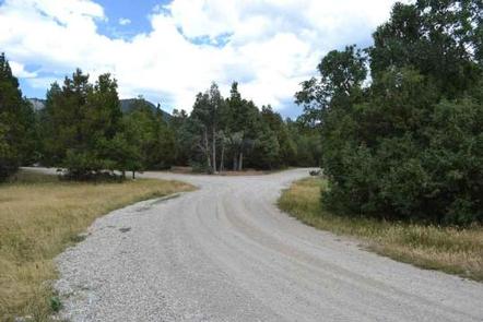
Travel east out of Mayfield, UT on "Canyon Road" to the Forest Service boundary of Twelve Mile Canyon. Stay on Forest Development Road 22, approximately 7.5 miles from Mayfield.

Phone

435-283-4151

Activities

CAMPING

Keywords

None

Related Link(s)

Rec Area Info & Images

Utah State Tourism

Utah State Road Conditions

Overview

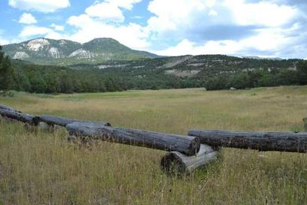
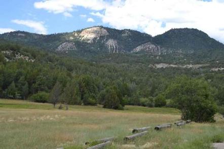
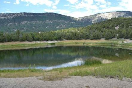
Twin Lake Campground rests in a juniper tree belt between the lower river bottom of Twelve Mile Canyon and the upper sub-alpine top of Skyline Drive. Visitors enjoy exploring a wealth of off-road vehicle trails.

Recreation

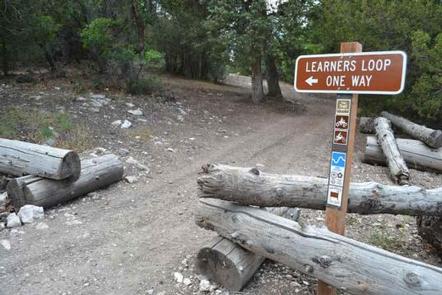
With an off-road vehicle learner loop in the campground and a central location between trails connecting to the Arapeen OHV Trail system and Skyline Drive, Twin Lake is the perfect staging area for exciting riding at any skill level.

Facilities

The campground contains one group site available for online reservations. This site accommodates up to 40 people and six vehicles. An additional 21 single-family sites are available, two of which, Sites 11 and 13, are open for online reservations.

Campfire rings are provided in each campsite and two vault toilets are regularly maintained and accessible within the campground. There is no trash collection so be prepared to pack out what you bring in.

Natural Features

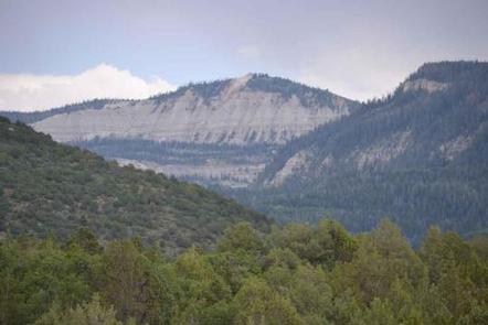
The campground is located 7 miles up Twelve Mile Canyon from the town of Mayfield, nestled among Flagstaff Limestone bluffs. At 7,000 feet above sea level, Twin Lake Campground allows early access in the spring and warmer temperatures in the fall.

Nearby Attractions

The Arapeen OHV Trail System offers extensive riding. Access to Skyline Drive rewards visitors with picturesque scenery and outdoor excitement.

Reservation

More from CampingHiking.net:

BOCA SPRING, California Campground Images, Info & Reservations

Directions From Reno, take I-80 west to Hirschdale Exit. Go north approximately 3 miles then turn right and go 1 mile to the campground. From Truckee, take I-80 east to Hirschdale exit. Turn left and travel approximately 3 miles then turn right and go 1 mile to the campground. Phone

MOLINO, Arizona Campground Images, Info & Reservations

Directions From Tucson, Arizona, take Catalina Highway off Tanque Verde Road in Tucson. Drive 4.2 miles northeast to the Coronado National Forest boundary and continue 5.7 miles to the campground. The campground is between mileposts 5 and 6. All campsites are adjacent to paved roads. Phone 520-749-8700 Activities BIKING, HISTORIC

SURVEYORS LOOKOUT, Idaho Campground Images, Info & Reservations

Directions From the St. Joe River Road (FH50) to Beaver Creek, drive 29 miles east of Avery to the junction of the Red Ives Road 218. Turn south (right) and drive 8 miles to the junction of Beaver Creek Road 303 (just past Beaver Creek Campground). Drive about 7.5 miles

MAXEY CABIN, Montana Campground Images, Info & Reservations

Directions From Bozeman, MT: Drive south on S. 19th Ave. for about 7 miles. Turn left onto Hyalite Canyon Road FS 62. Drive 11.1 miles on the Hyalite Canyon Road to the Maxey Cabin access road which is on the left (east) side of Hyalite Road 62. You have driven

AUK VILLAGE CAMPGROUND, Alaska Campground Images, Info & Reservations

Directions From the cruise ship terminal on South Franklin Street in downtown Juneau, head northwest along the waterfront. South Franklin Street becomes Marine Way, then Egan Drive, named for William A. Egan (1914 – 1984), first governor of the State of Alaska. Egan Drive becomes Glacier Highway at Milepost 9.4,