
Directions
From Interstate 30, take exit 73 and merge onto State Highway 8 west for 19 miles. Turn right on Fendley Road and continue 8.5 miles to the campground.
Phone
870-246-5501
Activities
BOATING, CAMPING, FISHING, SWIMMING SITE
Keywords
ALPR,DEGRAY LAKE,ALPINE,DEGRAY LAKE
Related Link(s)
Arkansas State Road Conditions
Overview
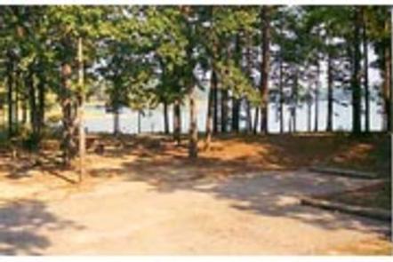
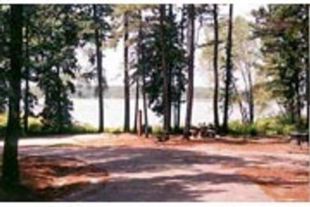
Alpine Ridge Campground sits on the banks of DeGray Lake in the foothills of the Quachita Mountains. The lake attracts visitors far and wide for fishing tournaments, triathlons, water sports and more.
Recreation
Boating, water skiing, kayaking and other water sports are the biggest draw to the lake, and a boat ramp and sandy swimming beach are provided. The lake is also stocked with a variety of game fish, including plenty of hybrid striped bass, making it an ideal area for both boat and bank fishing.
Facilities
Alpine Ridge offers the most modern facilities in the area, with a convenient boat ramp, flush toilets, hot showers and electric hookups at every site. A swimming beach and playground are also available.
To see USACE DeGray Lake Virtual Tour, click here.
Natural Features
Degray Lake is one of the region’s five Diamond Lakes, known for their crystal clear waters. The lake flows from the Caddo River in western Arkansas and spans 13,500 surface acres. The first settlers around the lake were the Caddo Indians, whose remains have been traced back to 700 A.D. The early inhabitants were skilled in agriculture, and grew crops like beans, squash, maize and sunflowers.
Nearby Attractions
The DeGray Lake Resort State Park offers golf courses, tennis courts, horseback riding trails and more along the 207 miles of lake shoreline.
The Ouachita National Forest and Hot Springs National Park are both located nearby.