
Directions
From US-75, take the Olivet exit. Continue onto K-276 west for 1 mile, then turn north onto South Fairlawn Road and continue another mile. Turn west onto Arrow Rock Parkway and follow to the campground.
Phone
785-549-3318
Activities
BOATING, CAMPING, FISHING, HUNTING
Keywords
ARRC,MELVERN LAKE,MELVERN PROJECT,LAKE ARROWHEAD,MELVERN STATE LAKE,MELVERN LAKE
Related Link(s)
Overview
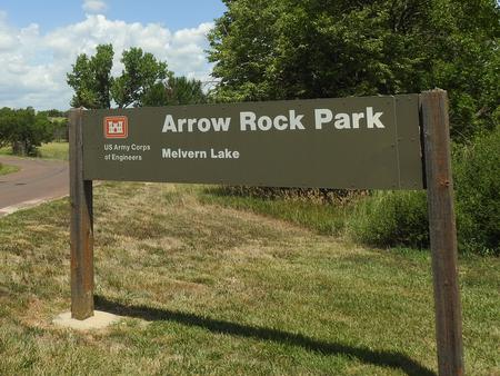
Arrow Rock Campground is situated on Melvern Lake on the eastern edge of the Flint Hills of Kansas. Visitors enjoy the area’s wide range of recreational activities, including boating, fishing, hiking and hunting. Find a virtual tour of Melvern Lake at http://www.photographyoptions.net/images/melvern/tour.html
Recreation
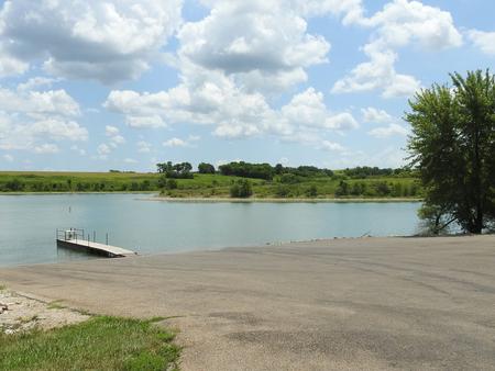
Melvern Lake impounds nearly 7,000 acres of water on the upper reaches of the Marais des Cygnes River Valley. Boating and swimming are popular activities on the lake.
Anglers will find walleye, crappie, channel and flathead catfish, as well as black, striped, white and smallmouth bass.
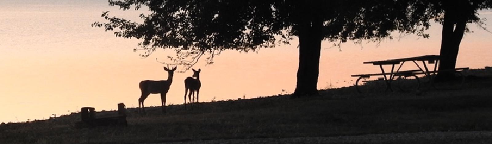
The 18,000 acres of land surrounding Melvern Lake provide plentiful hiking and hunting opportunities. Several trails wind around the lake, including the 4-mile Tallgrass Heritage Trail, which begins in the campground. Hunters may find deer, quail, turkeys, ducks, rabbits and squirrels throughout the area.
Facilities
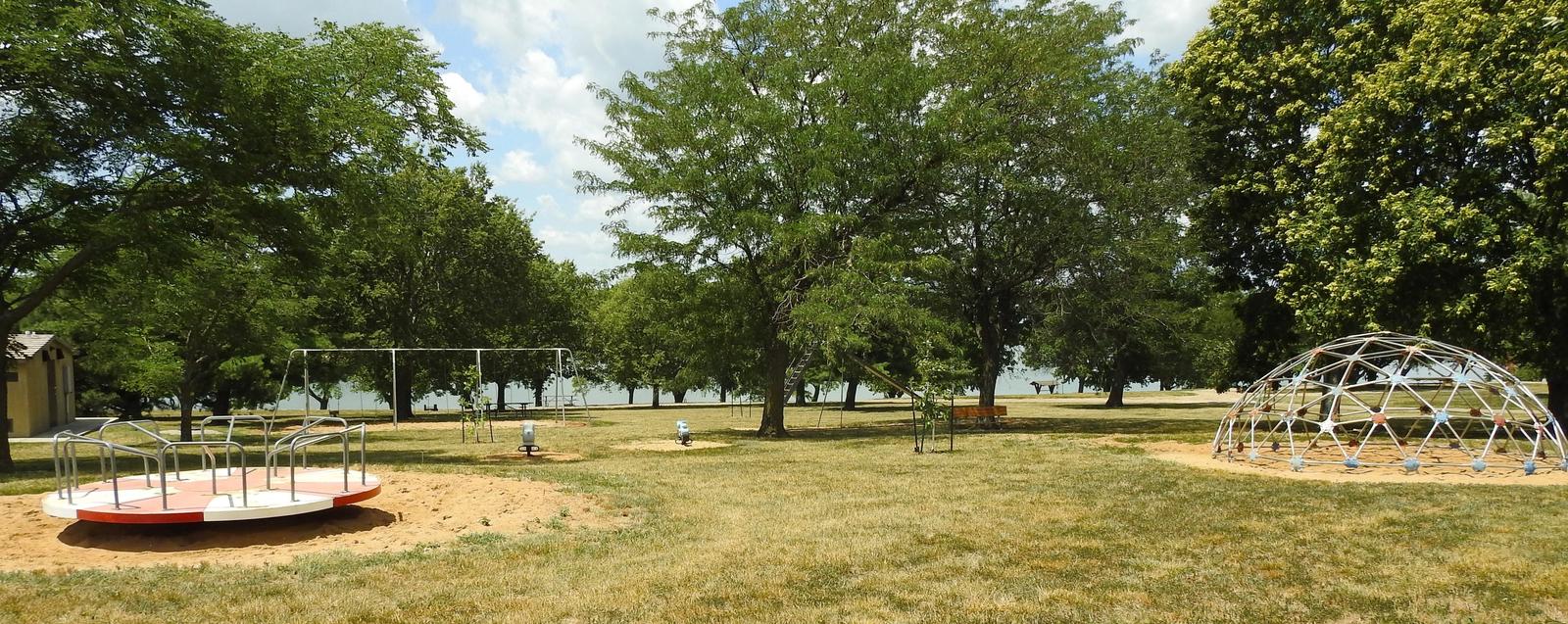
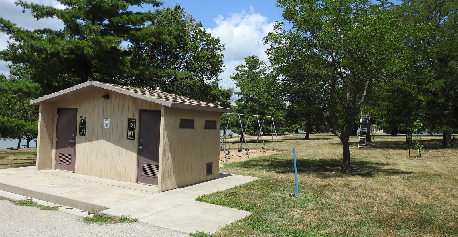
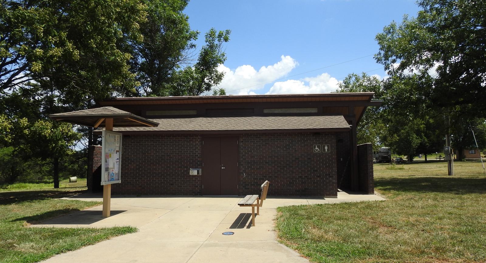
The campground offers 43 campsites, 19 of which have electric and water hookups. Several picnic sites are available on a first come, first served basis. Amenities include flush and vault toilets, showers, drinking water and a dump station. A boat ramp, dock, fish cleaning station and playground offer additional recreation opportunities. Click Here for a Virtual Tour (http://www.photographyoptions.net/images/melvern/tour.html)
Natural Features
The Flint Hills represent America’s last expanse of intact tallgrass prairie, made up of big bluestem, switchgrass and Indian grass. The rolling hills on the south side of the lake are wooded, but trees and shade are more sparse within the campground.