
Directions
From Porum, Oklahoma, take Highway 71 west for 8 miles, then follow signs to the campground.
Phone
918-799-5843
Activities
BOATING, CAMPING, FISHING, HIKING, SWIMMING SITE
Keywords
Dam Site South
Related Link(s)
Oklahoma State Road Conditions
Overview
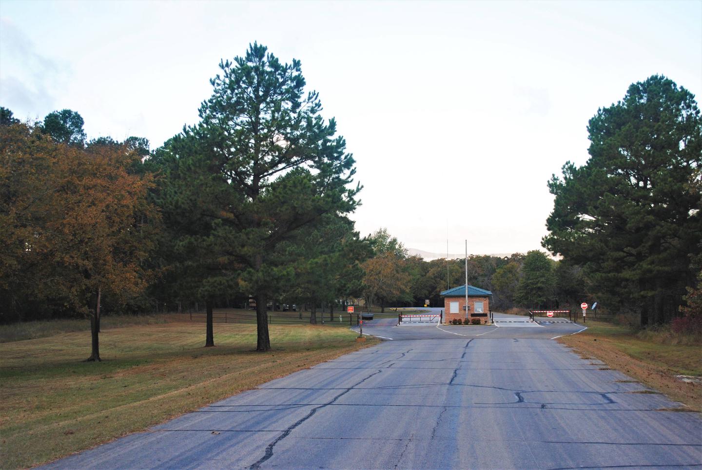
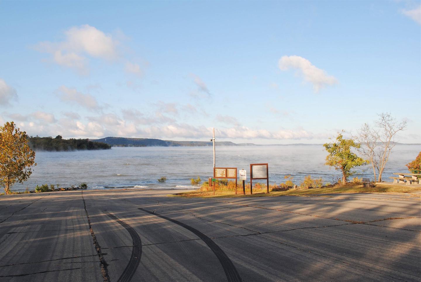
Ladybird Landing Campground sits along the beaches of Eufaula Lake in the green hills of Oklahoma.
Recreation
Eufaula Lake has long been recognized for its outstanding fishing. Crappie, sand bass, catfish, and black bass in the lake reach record size. Below the dam, striped bass reaching over 40 pounds have been caught in the tailwaters.
Boating is also a popular activity, and a boat ramp is provided at the campground for easy lake access.
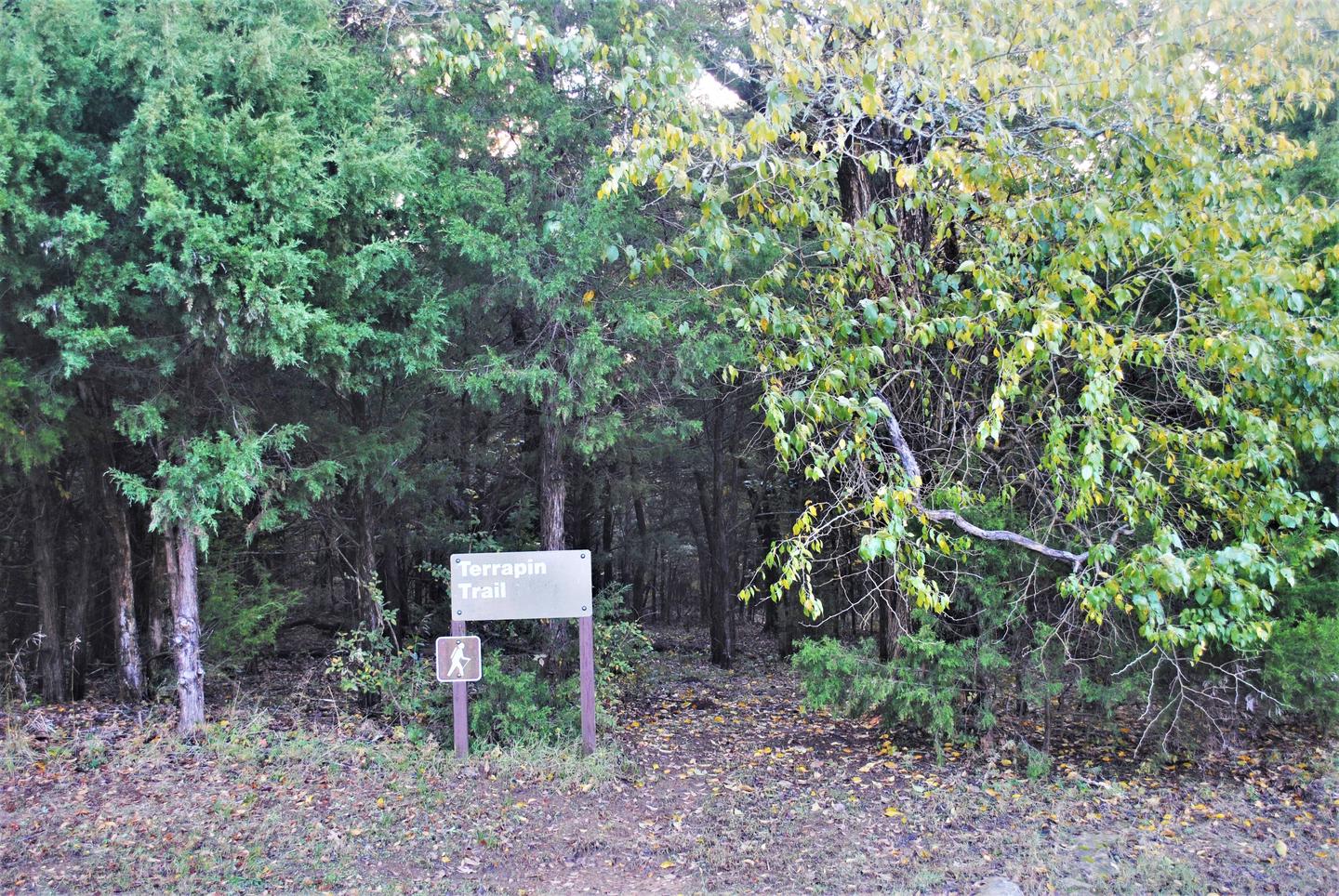
A variety of hiking trails wind throughout the hills and along the shoreline, offering additional activities for campers.
Facilities
Ladybird Landing Campground offers 57 campsites spread out along the lake shore, along with a large reservable group picnic shelter. A boat ramp, playground and nearby marina help visitors enjoy the lake.
Natural Features
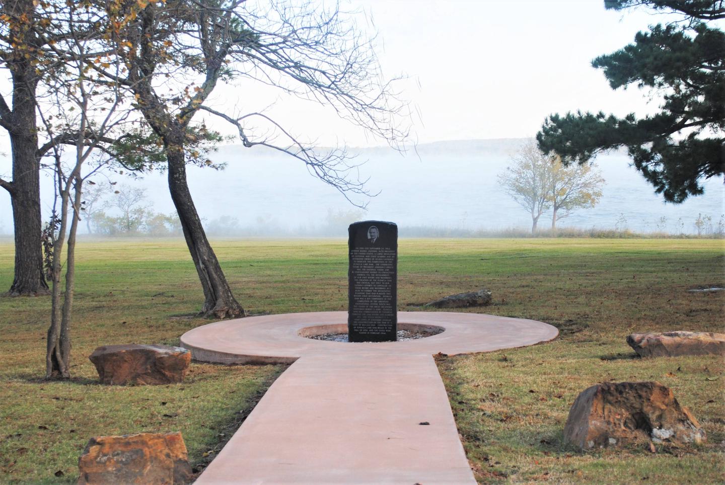
Eufaula Lake is the largest lake located entirely in the state of Oklahoma. It is located on the Canadian River, 27 miles upstream from its confluence with the Arkansas River. The dam, completed in 1964 and dedicated by President Lyndon B. Johnson, was originally built for flood control.
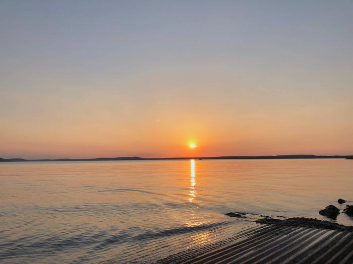
With over 600 miles of shoreline and 102,000 surface acres of water, Eufaula Lake offers a variety of recreational opportunities. The shoreline ranges from vast expanses of sandy beaches to rocky bluffs, and the scenery is especially beautiful during the fall months, when visitors are treated to an array of vivid autumn colors.
Nearby Attractions
Robber’s Cave State Park and two other state parks located on Eufaula Lake offer a variety of recreational experiences, including golf courses, swimming pools and hiking trails.
The historic town of Eufaula offers an array of antique shops and restaurants.