
Directions
From Springfield, MO, take US 65 north past Louisburg, MO, to NN Highway. Follow NN Highway south to Nemo, MO. Turn south at the 4-way stop and find the entrance to Nemo Landing on the left side of the highway.
Phone
417-993-5529
Activities
CAMPING, SWIMMING SITE
Keywords
NEMO,POMME DE TERRE LAKE,POMME DE TERRE LAKE
Related Link(s)
Missouri State Road Conditions
Overview
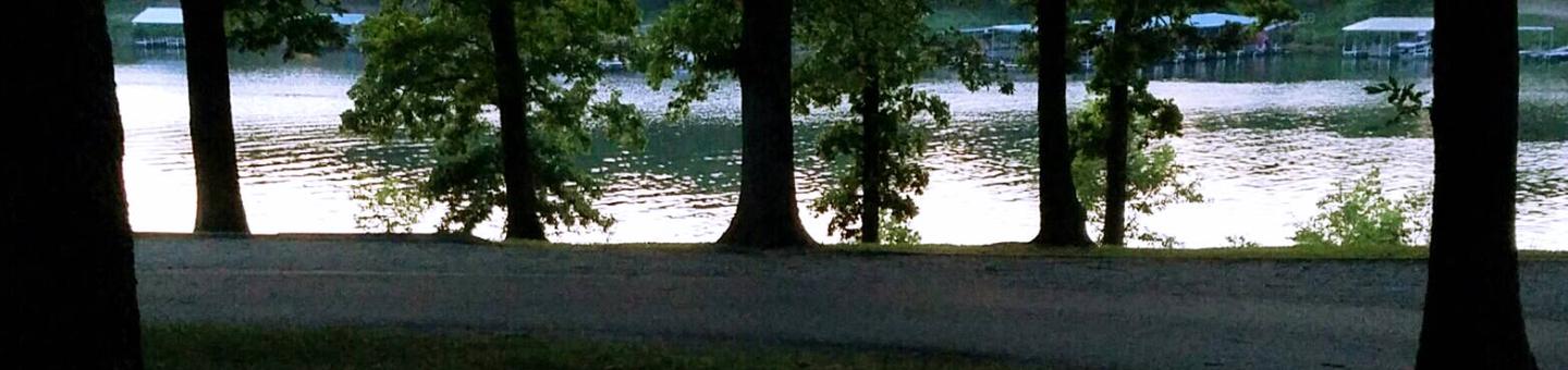
Pomme de Terre lake is divided into two arms which extend from the damsite. Nemo landing is located on the shorter arm, which follows the long and winding Lindley Creek and features numerous coves.
Although Pomme de Terre is small in comparison to other lakes in Missouri, its clear, deep waters have plenty to offer visitors.
Recreation
Visitors can find ideal fishing locations in one of the many tucked away coves, abundant with bass, walleye, crappie, catfish and muskie. Muskie is particularly popular as Pomme de Terre is the only lake in Missouri with a notable amount of the species.
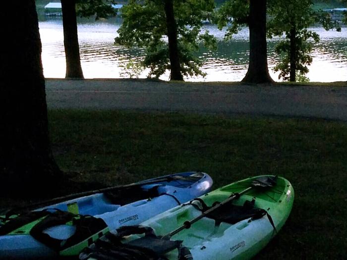
Jet skiing, water skiing and canoeing are also popular water sports. Across the Road from the campground is Nemo Marina, one of four full-service marinas on the lake, offering fuel, storage, tackle and rentals.
Facilities
Among the many campsites at Nemo Landing, 29 have electric and water hookups and another 25 have solely electric hookups. Other perks at the campground are hot showers, a swimming beach, boat ramp, playground and amphitheater.
Natural Features
Pomme de Terre Lake is located in the rugged, tree-topped hills of the west-central Missouri Ozarks. The lake stems mostly from the Pomme de Terre River and boasts 113 miles of shoreline.
Nearby Attractions
The Pomme de Terre Multipurpose Trail, located in Bolivar Landing, is great for hikers, bikers and is the only trail that allows horses. Another option is the Indian Point Trail, located in the Pittsburg State Park, this trail ends on a rock platform overlooking the lake for a very scenic view.