
Directions
From Lawrence, Kansas, take Clinton Parkway/23rd Street west to the end of the road. Make a right turn followed by the first left turn. Continue approximately one-fourth mile to park.
Phone
785-843-7665
Activities
BIKING, CAMPING, HIKING
Keywords
OVLP,CLINTON LAKE,OVERLOOK,OVERLOOK PARK CLINTON LAKE,CLINTON LAKE
Related Link(s)
Overview
This day-use picnic area, located just north of Clinton Lake in the hills of Kansas, is the perfect spot for a party or family gathering.
Recreation
A horseshoe pit, sand volleyball court, softball field and playground are all provided at Overlook Park. Clinton Lake offers opportunities for boating, fishing, canoeing, jet skiing, swimming and countless other water sports, making it the main attraction to area. The lake’s fish and wildlife resources provide sightseers, fishermen, and hunters ample opportunities for their sports, and Clinton Lake is well-stocked with crappie, walleye, channel catfish and white bass. Wildlife viewing is also a popular activity, with bald eagles, white-tailed deer, Canada geese, wild turkey and other wildlife in abundance at Clinton Lake. Three trail systems are located around Clinton Lake, including the North Shore, South Shore and the George Latham Trails. All offer hiking, biking and equestrian opportunities within a 20 minute drive. The North Shore trailhead is in Overlook Park.
Facilities
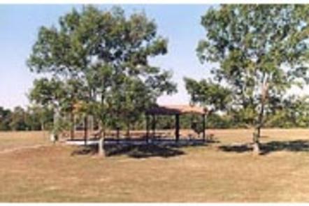
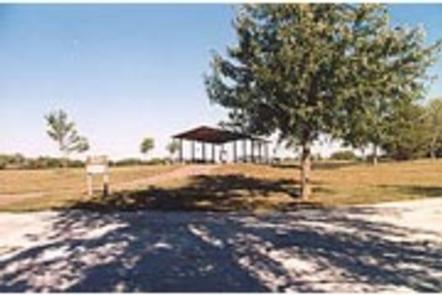
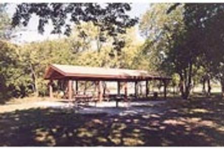
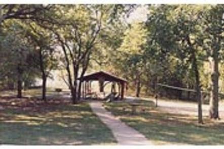
Overlook Park has two picnic shelters available for up to 100 guests. Flush toilets and drinking water are available for visitors’ convenience.
Natural Features
Congress authorized Clinton Lake in 1962, and the finished reservoir was filled in 1980. While the Dam and Reservoir were originally built for flood control, the area has now become a recreational oasis for millions of visitors to enjoy the beautiful green Kansas backdrop.
Clinton Lake’s beautiful setting of steep bluffs, wooded shoreline and clear water is unequaled among Kansas lakes. Shoreline development has been limited in an effort to preserve as much of the natural setting as possible.
Clinton spans 8 miles up the Wakarusa Valley and covers 7,000 surface acres. If the lake ever approaches the top of its flood pool, an additional 5,800 acres will be covered, extending the area to 13 miles along the valley floor.
Nearby Attractions
The Visitor Center, located on the northwest side of the dam, just down the road from Overlook Park, has several informative displays covering topics such as the history of the area, reasons for the dam and the wildlife in the area.