
Directions
From Worland, Wyoming: Take U.S. Highway 16 east for 48 miles, then turn onto West Tensleep Lake Road (Forest Road 27) and travel 0.5 miles west. Campground is on the left. From Buffalo, Wyoming: Take U.S. Highway 16 west for 43 milesthen turn onto West Tensleep Lake Road (Forest Road 27) and travel 0.5 miles west.
Phone
406-587-9054
Activities
BIKING, BOATING, FISHING, HIKING, WILDLIFE VIEWING, CANOEING
Keywords
BOLP,BIGHORN NF – FS
Related Link(s)
Overview
Boulder Park Campground is located about 50 miles east of Worland, Wyoming on the west side of scenic Cloud Peak Skyway, near the Cloud Peak Wilderness area. The Bighorn National Forest offers a wide variety of activities, including hiking, fishing, scenic driving and a number of historic sites. The administering organization is Gallatin Canyon Campgrounds; e-mail: gccampgrounds13@gmail.com
Recreation
Off-road vehicle trails, scenic jeep roads, hiking and additional fishing streams are available in the surrounding area. Diverse hikes vary from loop trails to treks along creeks and over mountain peaks; many trails access the Cloud Peak Wilderness.
Meadowlark Lake is within a couple miles of the campground. This small lake allows motorized craft at a wake-less speed. West Tensleep Lake, a few miles north of the campground, is open to non-motorized craft only. Both lakes are great locations for canoeing and fishing.
Facilities
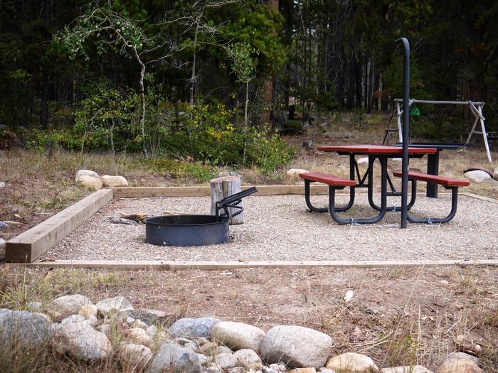
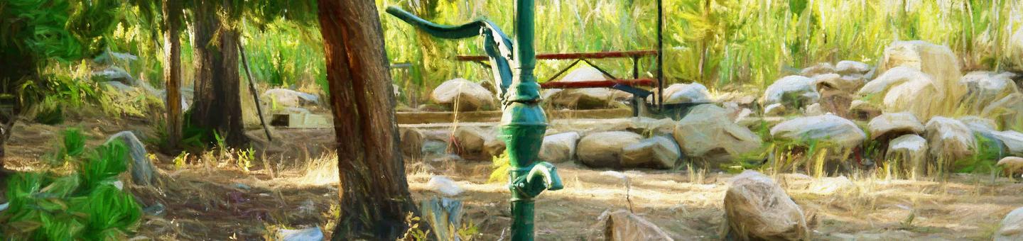
The campground offers several single-family sites each equipped with a picnic table and campfire ring with grill. Accessible vault toilets, drinking water and trash collection are provided.
The nearest dump station is 15 miles away at Powder River Pass.
Natural Features
The campground sits on the banks of West Tensleep Creek in an open meadow surrounded by a forest of lodgepole pine. Many lakes and streams are found in the surrounding Bighorn Mountains.
Nearby Attractions
The High Park Lookout is located just east of Meadowlark Lake. This old fire lookout was built by the CCC decades ago and is no longer active. A short hike leads to the lookout, where hikers are awarded panoramic views of the surrounding area.
Deer Haven Lodge and Meadowlark Lodge are nearby, offering dining options, lodging, guided horseback riding and fishing and camping supplies.
Charges & Cancellations
Refunds: Refund requests made through www.recreation.gov will be charged a $10 processing fee. This cancellation processing fee is retained by the reservation service contractor along with the non-refundable reservation fee. All requests for the return of the non-refundable reservation fee and the cancellation processing fee will be declined by the campground concessionaire as they did not receive these fees (these are the fees retained by the reservation contractor, a different entity).