Activities
AUTO TOURING, BIKING, BOATING, CAMPING, FISHING, HIKING, HORSEBACK RIDING, HUNTING, OFF HIGHWAY VEHICLE, PICNICKING, WINTER SPORTS, VISITOR CENTER, FIRE LOOKOUTS/CABINS OVERNIGHT, HORSE CAMPING
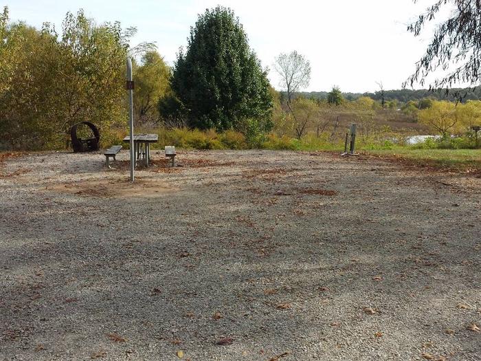
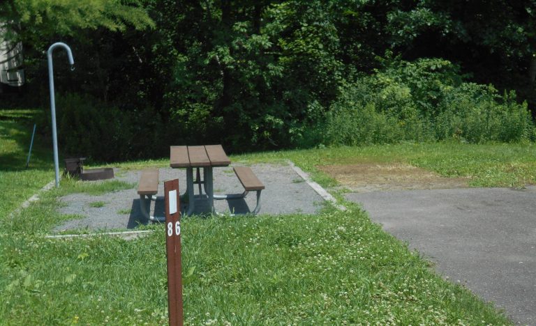
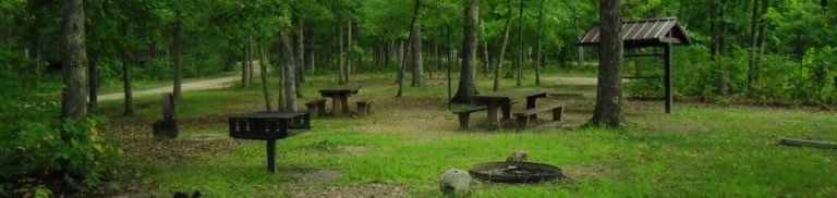
Camping Reservations
Reserve your campsite at these camping areas:
Hiking Trails
Looking for nice hiking areas to take a hike? Choose from these scenic hiking trails:
Black Mountain Lookout Trailhead
Related Link(s)
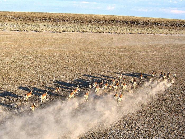
Rising between the Powder River and Big Horn Basins, this scenic country offers year round recreation connecting visitors to a land rich in history and solitude. For centuries, the mountain landscape has provided renewal for Native Americans, homesteaders and modern day explorers creating a human connection with this spectacular place. Today there is a bond with “the mountain” for local residents, which contributes to the quality of life in local communities. Viewing scenery and wildlife, while incorporating a rich history, connects locals and travelers to this accessible landscape.
To view recreation features on the map below . . .
Click on the Forest Service shield for the area you want to visit: Buffalo, Greybull, or Sheridan. Then click on “Go to the Buffalo, WY page,” for example, to see a map showing the locations of campgrounds, trailheads, and other sites in that ranger district.