DIRT FLAT, CA Campground Reservation, Info, Images, Map, Directions

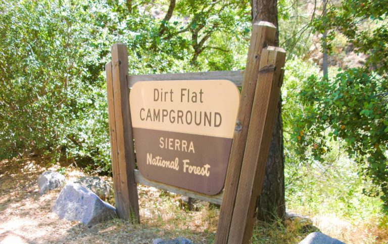
DIRT FLAT, California Campground Images, Info & Reservations

Directions

From Highway 140, turn on to Foresta Road. Landmarks include Red Bud Picnic Area and a National Park Service warehouse. After bridge, turn left onto the spur road. Immediately turn left onto Incline Road. Continue 1.5 miles to the facility.

Phone

559-642-3212

Activities

CAMPING

Keywords

DIRT,EL PORTAL,SIERRA NF – FS

Related Link(s)

Rec Area Info & Images

California State Road Conditions

Forest Service Concessionaire

California State Tourism

Overview

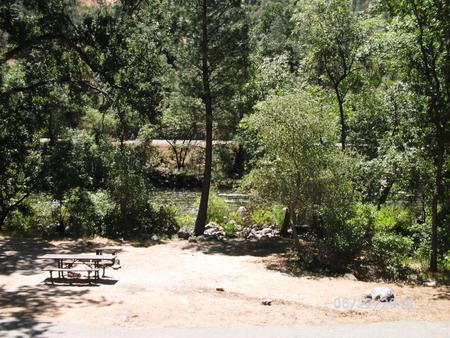
Dirt Flat campground is situated on the north side of the Merced River. This small camp features walk-in tent sites on the river. The remote locates of the site makes for a quiet and peaceful camping experience.

Recreation

During the spring and early summer, the Merced River is a popular location for white water rafting and kayaking. Several private companies offer guided rafting trips.

Facilities

The campsites at Dirt Flat meet accessibility standards and offer picnic tables, grills and fire rings. Vault toilets are available.

Natural Features

The Sierra National Forest, located on the western slope of the central Sierra Nevada, is known for its spectacular mountain scenery and abundant natural resources.

The terrain includes rolling, oak-covered foothills, heavily forested middle elevation slopes and the starkly beautiful alpine landscape of the High Sierra.

Nearby Attractions

This campground is close to the west entrance to Yosemite National Park. Yosemite offers a variety of activities that include scenic driving, picnicking, hiking and fishing.

Reservation

More from CampingHiking.net:

POINT SUPREME CAMPGROUND, Utah Campground Images, Info & Reservations

Directions Routes to Cedar Breaks National Monument Traveling south on I-15: Take exit 78 to Parowan Travel south on Main Street for 1.3 miles Turn left onto E. Center Street. Travel 0.3 Miles Turn right onto Utah Highway 143 East Continue approximately 15 miles to Cedar Breaks National Monument Traveling

WHEELER GORGE, California Campground Images, Info & Reservations

Directions From Ventura, take Highway 33 north about 14 miles. Turn left, continuing on Highway 33 for another 8 miles to the campground. From Los Angeles, take I-5 north, then turn west onto Highway 126 for about 28 miles, to Santa Paula. Continue north on Highway 150 for 16 miles.

Little Naches Campground, Washington Campground Images, Info & Reservations

Directions From Naches, take Highway 410 northwest 30 miles to Forest Road 107. Turn onto 107 and follow to the campground. Phone 541-338-7869 Activities BIKING, CAMPING, FISHING, HIKING, WATER SPORTS Keywords LILN,NACHES,OKANOGAN – WENATCHEE NF -FS,LITTLE NACHES,LITTLE NACHES CAMPGROUND,NATCHES Related Link(s) Rec Area Info & Images Washington State Tourism Washington

Big Meadow Campground, California Campground Images, Info & Reservations

Directions Take Highway 180 east to the Kings Canyon National Park entrance, where you will be required to purchase a forest/park permit. After entering the park, continue 2 miles where you will stay to the right as though you were going to Sequoia National Park. Continue on the General’s Highway

MANZANITA LAKE CABIN, Alaska Campground Images, Info & Reservations

Directions The cabin is located approximately 28 miles northeast of Ketchikan on Revillagigedo Island on the northwest arm of Manzanita Lake and is accessible by float plane or canoe. In fall, winter, and early spring, the cabin may be inaccessible due to frozen lake surface (float planes cannot land). Please