
Directions
From Naches, take Highway 410 northeast 22.5 miles to milepost 99.5.
Phone
541-338-7869
Activities
CAMPING, FISHING, HIKING, WATER SPORTS
Keywords
CTWD,OKANOGAN – WENATCHEE NF -FS,COTTONWOOD,COTTONWOOD CAMPGROUND
Related Link(s)
Washington State Road Conditions
Overview
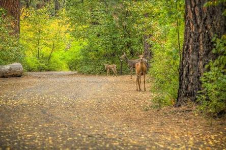
Cottonwood Campground is located along the Naches River in the Northern Cascade Range of Washington. Craggy peaks, mountain meadows and old-growth forests provide visitors with unique landscapes within the Okanogan National Forest.
Warm summer days and access to a multitude of recreational activities make it an ideal setting for both individual and family camping excursions.
Recreation
Cottonwood Campground offers outdoor enthusiasts the opportunity to fish, swim, hike and enjoy a multitude of recreational activities throughout the year.
Numerous hiking trails can be accessed near the campground and in the surrounding area. Nearby American Ridge Trail, open to hikers, backpackers and horseback riders, extends over 26 miles from Bumping River to the notable Pacific Crest Trail.
Visitors enjoy whitewater rafting on the nearby American River or splashing around in Naches River, which can be accessed from the campground.
Facilities
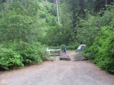
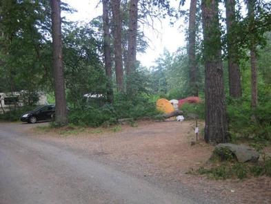
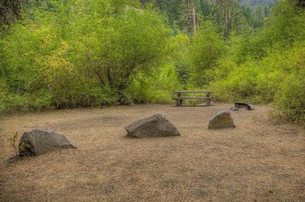
Cottonwood Campground offers standard sites and tent-only sites. Vault toilets and drinking water are available; however, electric hookups are not available.
Natural Features
The Okanogan-Wenatchee National Forest’s high, glaciated alpine peaks tower along the Cascade Crest. Lush valleys of old-growth forest define its western boundary, and at its eastern edge, rugged shrub-steppe country comprises a more arid region. Elevations range from below 1,000 feet to over 9,000 feet.
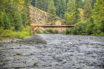
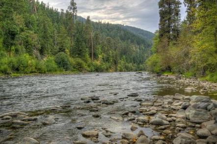
The Naches River, adjacent to Cottonwood Campground, is a tributary of the Yakima River in central Washington. In its upper reaches, the Naches River flows through rugged terrain and areas of pristine wilderness.
The river was used by Native Americans and settlers throughout history. It has served as a natural corridor between the east and west sides of the Cascades via Naches Pass.
Nearby Attractions
Boulder Cave National Recreation Trail is one of the most popular places in the Naches District. Visitors can walk the accessible trail along the river or explore Boulder Cave. Interpretive signs along the trail explain the geology, plants, animals and fire history of the area.
In the fall, thousands of people come to experience whitewater rafting on both the Tieton and American Rivers.