

Directions
From Redding, California drive 48 miles east on State Highway 44 to State Highway 89. Turn right into Lassen Volcanic National Park and continue five miles south to Lost Creek Group Campground. It is 1/8-mile south of Crags Campground.
Phone
530 595-6121
Activities
BOATING, HISTORIC & CULTURAL SITE, CAMPING, INTERPRETIVE PROGRAMS, FISHING, HIKING, PICNICKING, SWIMMING SITE
Keywords
LOCR,LASSEN VOLCANIC NATIONAL PARK
Related Link(s)
California State Road Conditions
Overview
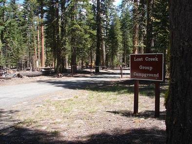
Lost Creek Group Campground (elevation 5,700 ft.) is approximately five miles south of Manzanita Lake, and close to the Lost Creek and Devastated areas. Located on the main park road, it is also in close proximity to the main attractions and hiking trails of Lassen Volcanic National Park, the general store, showers and other amenities. The Loomis Museum and educational programs are a within a short drive.
Recreation
Within a short drive, campers can access several hiking trails and Manzanita Lake. The lake is popular with fly fishermen for catching trout; however, the area does maintain a catch-and-release policy and requires the use of artificial lures and single barb-less hooks only. Non-motorized boating is also permitted with kayak rentals nearby.
Facilities
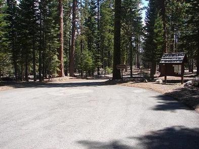
There are eight group sites within the campground, each containing picnic tables, campfire rings, food storage lockers and parking. Drinking water is provided. The facility does not provide electric and water hookups. The closest dump station is at Manzanita Lake. For more information visit Campgrounds of Lassen Volcanic.
Natural Features
The Lost Creek area has a pleasant atmosphere dominated by large ponderosa pines.
The national park is known for its volcanic history, as well as its diversity of plants and animals. It contains 300 active volcanic domes and many hydrothermal features, such as mud pots and steam vents. Lassen Peak is the southernmost active volcano in the Cascades, and the second most recent volcano to erupt in the lower 48 of the United States before Mount Saint Helens.
Lassen National Park boasts over 700 species of flowering plants and 250 species of vertebrates, including birds, mammals, reptiles and fish. The park is at the junction of the Cascade Mountains, the Sierra Nevada Mountains and the Great Basin, thus providing many unique habitats.
Nearby Attractions
The Loomis Museum is located about a fifteen minute drive away and the Kohm Yah-mah-nee Visitor Center is located about forty-five minute drive away.