
Directions
Wildwood Recreation Site is located 39 miles east of Portland on Highway 26 near Welches, Oregon.
Phone
503-622-3696
Activities
BIKING, HISTORIC & CULTURAL SITE, FISHING, HIKING, PICNICKING, WILDLIFE VIEWING, FISH VIEWING SITE, DAY USE AREA, ENVIRONMENTAL EDUCATION, PHOTOGRAPHY, MOUNTAIN BIKING, BERRY PICKING, BIRDING, WATER ACCESS, BACKPACKING
Keywords
WIWO,Wildwood Recreation Site,Wild Wood Recreation Site,Wildwood Rec Site,Wild Wood Rec Site,Wildwood Recreation Area,Wild Wood Recreation Area,Wildwood Rec Area,Wild Wood Rec Area,Wild,Wood,Molalla River Corridor.
Related Link(s)
Overview
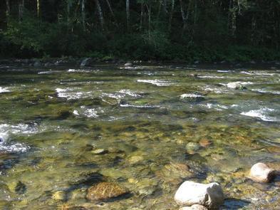
Wildwood Recreation Site is located along the Mount Hood Scenic Byway near the town of Welches, Oregon. Mount Hood, Oregon’s tallest mountain, beckons travelers through a forested corridor to wade the waters of the Wild and Scenic Salmon River.
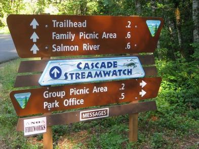
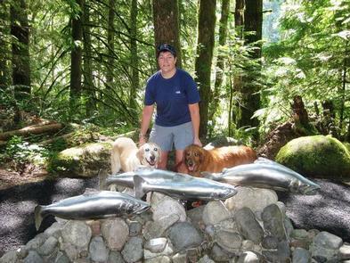
This day-use area is home to a wide range of recreation facilities and the Cascade Streamwatch Trail. Visitors have a chance to explore natural stream and wetland ecosystems along accessible interpretive trails and boardwalks and observe native fish in a unique, underwater fish viewing chamber.
Recreation
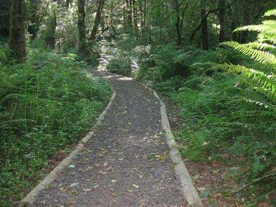
Hiking and wandering the boardwalks at Wildwood is the best way to experience the park.
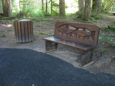
The Cascade Streamwatch Trail is an accessible, 3/4-mile paved loop that features quality educational displays, picturesque views of the Salmon River and a fish viewing window below stream level.
The Wetlands Trail is an accessible, 3/4-mile loop trail leading to the challenging Boulder Ridge Trail, which is a 4.7-mile hike up the steep slopes of Huckleberry Mountain into the Salmon-Huckleberry Wilderness.
Visitors also enjoy swimming and fishing in the cool, clear waters of the Salmon River.
Facilities
Wildwood is an excellent place for large groups, company picnics or special events. The site offers family picnic units, several group shelters, outdoor picnic kitchens, athletic fields, volleyball and basketball courts and fully accessible trails.
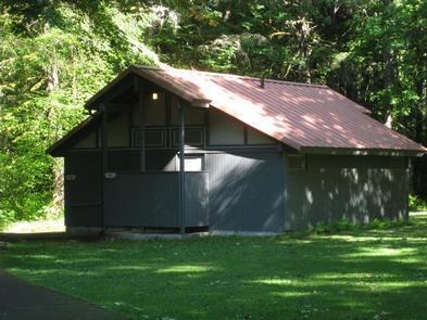
Picnic tables, fire rings and grills are available at each site. Flush toilets and drinking water are also provided.
Natural Features
Nestled in a bend of the spectacular Wild and Scenic Salmon River, Wildwood Recreation Site encompasses 550 acres of beautiful land forested with old-growth Douglas fir, western hemlock, and western red cedar. Dense vegetation provides nice privacy between sites.
Nearby Attractions
Mount Hood National Forest offers many recreational activities, including hiking, horseback riding, fishing, camping, backpacking, and skiing, among others. Sandy Ridge Mountain Bike Trails.
Charges & Cancellations
A per vechile day use fee is not included with shelter reservations. Fees vary from $5 (<9 people), $10 van (>10 people) and $20 bus (>20 people).