
Directions
From Stanley, Idaho, take Highway 75 south approximately 3 miles. Campground is on the north side of the road, between the highway and the Salmon River.
Phone
928-537-8888
Activities
CAMPING, FISHING, HIKING
Keywords
SUNN,SAWTOOTH NF – FS
Related Link(s)
Overview
Sunny Gulch Campground sits along the shores of Salmon River in the forests of central Idaho.
Recreation
Excellent fishing is right out your back door on the Salmon River, with rainbow trout, Westslope cutthroat trout and occasional hybrid cutbows and bull trout available.
Sunny Gulch lies in the heart of the Sawtooth National Recreation Area. A myriad of excellent hiking and biking opportunities are available, and an estimated 750 miles of trails crisscross the valley and surrounding mountains.
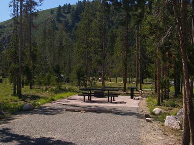
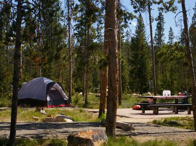
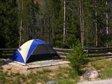
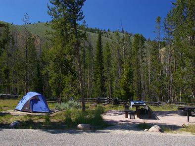
Facilities
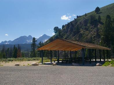
Sunny Gulch offers several campsites, a handful of which are close to a large picnic shelter. These sites and the shelter are perfect for a family reunion, wedding or other special event. The shelter contains a grill, utility tables, a dutch oven cooking surface and eight picnic tables.
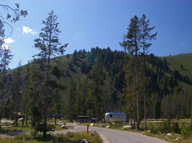
Vault toilets and drinking water are provided. Roads and parking spurs are paved.
Natural Features
The campground offers spectacular views of the Sawtooth Mountains. Summer wildflowers are plentiful and lodgepole pines provide partial shade. Temperatures are cool with an average summer high of 78 degrees and a low of 40 degrees.
Nearby Attractions
The Alpine Way Trail begins less than a mile from the campground, and the Idaho Centennial Trail passes nearby.
Redfish and Stanley Lakes are nearby with great boating, water skiing, canoeing, kayaking and fishing. Numerous additional sparkling lakes and streams dot the area.
Popular area events include an Arts and Crafts Fair in July, and Wagon Days, Salmon Festival, Quilt Fair and Fireman’s Ball in September.