


Directions
From Huntington, WV, travel west on I-64 approximately 28 miles to Exit 172, or from Lexington, Ky, travel east on I-64 approximately 93 miles to Exit 172.
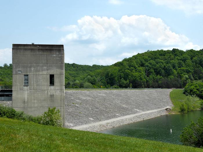
From Exit 172, proceed south on KY Route 7 approximately 8 miles. KY Route 7 passes over Grayson Dam; after passing over dam, take the first right onto lower access road to go to Picnic Shelter 4. To reach Shelters 1, 2, and 3, take the first left onto Launch Ramp Road.
Phone
606-474-5815
Activities
BIKING, BOATING, CAMPING, INTERPRETIVE PROGRAMS, FISHING, HIKING, PICNICKING, VISITOR CENTER, WILDLIFE VIEWING, WILDERNESS, INFORMATION SITE, PHOTOGRAPHY, RANGER STATION, WATER ACTIVITIES, KAYAKING, CANOEING, BIRDING, JET SKIING, RECREATION PROGRAMS, ACCESSIBLE SWIMMING
Keywords
GRA2,GRAYSON LAKE,GRAYSON LAKE
Related Link(s)
Kentucky State Road Conditions
Overview
Grayson Lake Dam Site Shelters are just seven miles south of Grayson, Kentucky on state Route 7 on Grayson Lake. Recreational activities abound on and around this 20-mile long lake. Boating, fishing, hiking, horseback riding and hunting are the area’s most popular draws.
Recreation
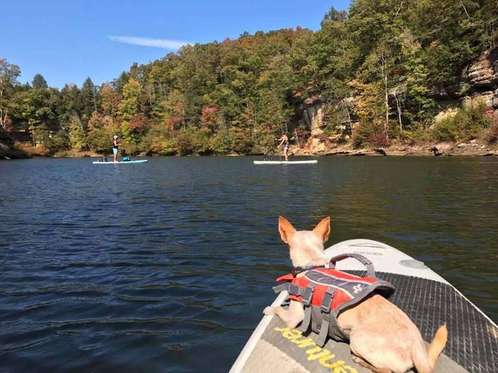
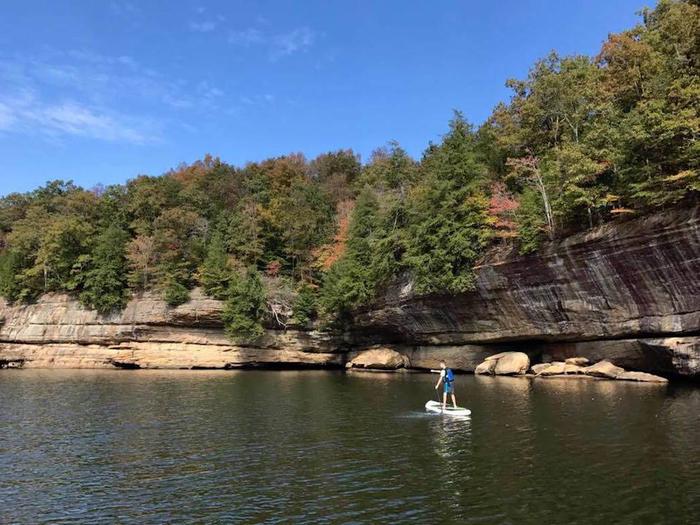
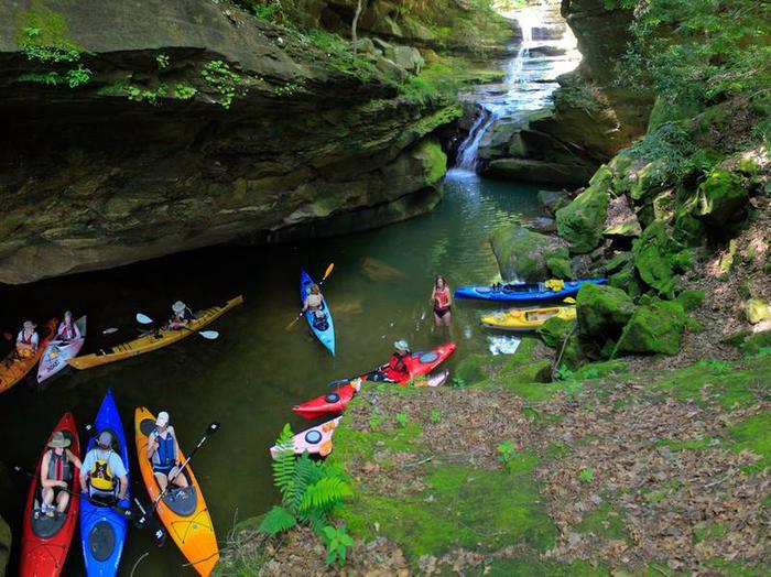
Visitors flock to Grayson Lake for its numerous recreational opportunities, including boating, canoeing, swimming, and fishing for bass, crappie, catfish and bluegill. A marina is located at the dam site for convenient boat storage.
Hikers enjoy the Api-su-ahts Trail, with four loops totaling over 22 miles. The trail offers scenic views of the lakeshore and mature hardwood forests as it winds through creek bottoms, hollows and ridgetops in the more secluded region of the Wildlife Management Area east of Grayson Lake.
Facilities
This site contains four group picnic shelters with water and 15-amp electrical hookups, large grills and picnic tables. Accessible vault toilets are provided.
Playgrounds are located next to each shelter!
Natural Features
Grayson Lake is known for its sculptured sandstone cliffs that rise 30 to 200 feet above the lake’s surface, providing many narrow, scenic canyons just waiting to be explored.
The gently sloping landscape around the lake is forested with a mixture of oak, white and yellow pine, elm, and Kentucky’s state tree, the Tulip Poplar. Fall colors are particularly impressive at Grayson Lake.
Nearby Attractions
The Grayson Game Refuge Area and Wildlife Management Area are both nearby, offering hiking, hunting, birding and fishing.
Grayson Lake State Park is just a few minutes away, with an 18-hole golf course, camping, hiking and more great water activities.