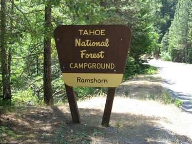
RAMSHORN, CA Campground Reservation, Info, Images, Map, Directions

RAMSHORN, California Campground Images, Info & Reservations

Listen

Directions

From Downieville, take Highway 49 south for about 5.5 miles. The campground is on the right side of the highway.

Phone

(530)478-6253

Activities

BIKING, CAMPING, FISHING, HIKING, HUNTING, SWIMMING, MOUNTAIN BIKING, KAYAKING, SCENIC DRIVE

Keywords

RAMS,TAHOE NF – FS

Related Link(s)

Rec Area Info & Images

California State Road Conditions

California State Tourism

Overview

Ramshorn Campground is located off of Highway 49, in the North Yuba River area west of Downieville. Visitors enjoy a wide variety of recreational activities in the area, including hiking, mountain biking, motorcycle singletrack, hunting, fishing, and gold panning. This facility is operated and maintained by the Tahoe National Forest.

Recreation

A network of trails crisscrosses the surrounding area. The 5.8-mile Halls Ranch Trail is open to hiking, mountain biking, and motorized use. The Yuba River Trail can be accessed nearby at the Rocky Rest Trailhead. The North Yuba River offers swimming, floating, and rainbow trout fishing. The river is a popular destination for seasonal rafting, kayaking and tubing.

Facilities

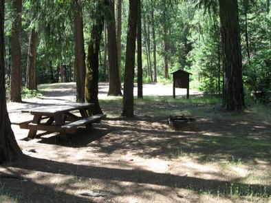
The campground offers several single-family sites, all of which are designated for tent camping only. Each site is equipped with a picnic table and campfire ring. Vault toilets are provided.

Natural Features

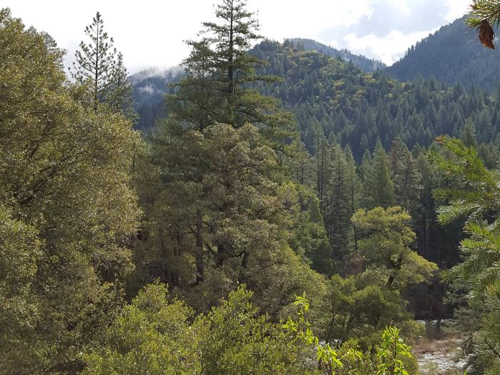
Ramshorn Campground is located on the steep slopes of the North Yuba River Valley between the Indian Valley Recreation Area and Downieville. The campground’s two loops are situated among abundant blackberry bushes in a forest of cedar and fir trees. Shady oak trees are scattered around the upper loop.

Nearby Attractions

Ramshorn Campground is located along the Yuba Donner Scenic Byway (Highway 49) near many gold rush era historical sites and old mining towns such as Camptonville, Goodyears Bar, and Downieville. Many points of interest lie along Highway 49 and are part of the 49 miles of Highway 49 driving tour; look for interpretive signs and other historical sites along this tour route. Other attractions include the North Yuba River, Indian Valley Outpost, New Bullards Bar Reservoir, Downieville, and a network of miles of multi use hiking, biking, and motorcycle singletrack.

Reservation

More from CampingHiking.net:

COWPUNCHER GUARD STATION, Utah Campground Images, Info & Reservations

Listen Directions From Highway 12 in Escalante, turn north on 300E. Drive 14 miles to the junction of Forest Roads 154 and 153. Continue on FR153 for 4.5 miles. Turn left on FR145 towards Cowpuncher and Blue Spruce Campground. Travel 0.7 miles to Cowpuncher Gate. The cabin is 0.2 miles

UPPER PAYETTE LAKE CAMPGROUND, Idaho Campground Images, Info & Reservations

Listen Directions From McCall, Idaho, take Highway 55 north to Warren Wagon Road/Forest Highway 21. Turn right and continue for 16 miles to gravel Forest Road 495 and follow for a mile into the campground. Phone 208-634-0400 Activities BOATING, CAMPING, FISHING, HIKING, HUNTING, WILDLIFE VIEWING, SWIMMING SITE Keywords UPPA,Upper Payette

PICKETT BUTTE LOOKOUT, Oregon Campground Images, Info & Reservations

Listen Directions Important note regarding GPS use: please be advised that GPS units can, and have sent guests down the wrong roads to access the lookout. Please consider following the directions below rather than your GPS unit. Directions: From Canyonville take West 1st Street and turn onto SE 3rd St/OR-227.

RANCHERIA, California Campground Images, Info & Reservations

Listen Directions From Clovis, take Highway 168 north 70 miles to Huntington Lake Campground office at Eastwood. Check in at office prior to setting up camp. Phone 559-893-2111 Activities BOATING, HISTORIC & CULTURAL SITE, CAMPING, INTERPRETIVE PROGRAMS, FISHING, HIKING, WATER SPORTS, DAY USE AREA, SWIMMING SITE Keywords RANC,HUNTINGTON LAKE,SIERRA NF

CADDO DRIVE, Arkansas Campground Images, Info & Reservations

Listen Directions From Interstate 30 take exit 78. Merge onto State Highway 7 north for 6 miles. Turn left onto Edgewood Road and continue 3 miles to Caddo Drive. Phone 870-246-5501 Activities BOATING, CAMPING, FISHING, WILDLIFE VIEWING, SWIMMING SITE Keywords CADV,DEGRAY LAKE,DEGRAY LAKE,CADDO,DeGray Lake Related Link(s) Rec Area Info &