
Directions
From Downieville, take Highway 49 south for about 11 miles. The campground is on the left side of the highway.
Phone
(530)478-6253
Activities
AUTO TOURING, BIKING, CAMPING, FISHING, SWIMMING, MOUNTAIN BIKING, CULTURAL ACTIVITIES, SCENIC DRIVE, RAFTING, TUBING
Keywords
INVA,TAHOE NF – FS
Related Link(s)
California State Road Conditions
Overview
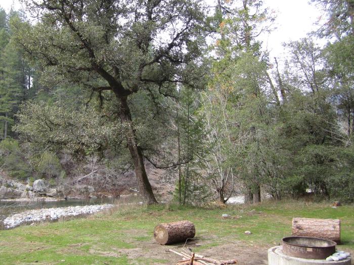
Indian Valley Campground is located alongside the North Yuba River just off Highway 49, about 11 miles west of Downieville. Visitors enjoy a wide variety of recreational activities in the area, including hiking, biking, hunting, fishing, white water boating, and gold panning. This facility is operated and maintained by the Tahoe National Forest.
Recreation
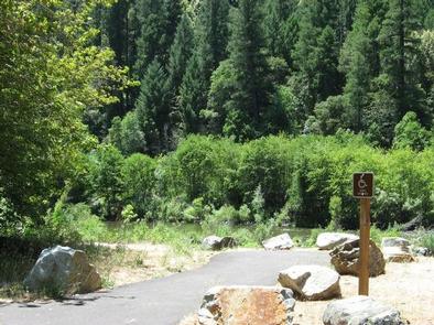
The North Yuba River offers swimming, wading, and rainbow trout fishing. Seasonal rafting, kayaking and tubing are also popular water activities. A network of trails for hiking, mountain biking, and motorcycle singeltrack criss-crosses the surrounding area including the Yuba River, Halls Ranch, and Butcher Ranch trails and the Downieville Downhill.
Facilities
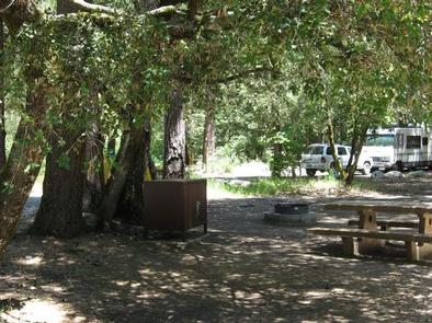
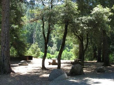
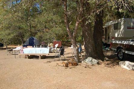
The campground offers both single and double family campsites. Each site is equipped with a picnic table and campfire ring. Vault toilets and drinking water are provided.
Natural Features
The campground sits on the north bank of the North Yuba River. Tumbled rock piles from early gold dredging activity are scattered around the campground. A forest of oak, fir, pine and madrone trees provides ample shade. Many sites have views of the river.
Nearby Attractions
Indian Valley Campground is located on the Yuba Donner Scenic Byway (Highway 49) near many gold rush era historical sites and old mining towns such as Camptonville, Goodyears Bar, and Downieville. Many points of interest lie along Highway 49 and are part of the 49 miles of Highway 49 driving tour; look for interpretive signs and other historical sites along this tour route. Other attractions include the North Yuba River, Indian Valley Outpost, New Bullards Bar Reservoir, Downieville, and a network of miles of motorcycle singletrack.