DRIPPING SPRINGS CAMPGROUND (CA), CA Campground Reservation, Info, Images, Map, Directions

DRIPPING SPRINGS CAMPGROUND (CA), California Campground Images, Info & Reservations

Directions

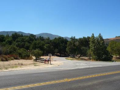
Campground is 11 miles east of Temecula off of Highway 79.

Phone

760-788-0250

Activities

HISTORIC & CULTURAL SITE, CAMPING, HUNTING, VISITOR CENTER

Keywords

Dripping Springs Campground (CA)

Related Link(s)

Rec Area Info & Images

California State Road Conditions

California State Tourism

Overview

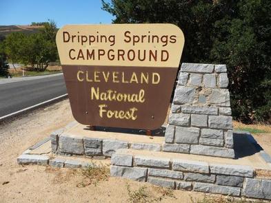
Dripping Springs campground is a wonderful campground adjacent to the Agua Tibia Wilderness.

Recreation

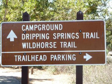
Recreation in the area includes hiking, trail running, and backpacking.

Facilities

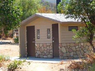
The campground facilities include restrooms and potable water. No showers or other amenities are available at this location.

Natural Features

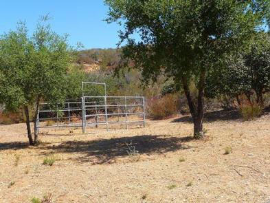
The campground is adjacent to sensitive riparian habitat which is home to the endangered Arroyo Toad. The hills surrounding the campground are covered in southern California chaparral which is host to a diverse population of flora and fauna. The mountain tops above the campground are lined with coniferous forest.

Nearby Attractions

The campground is directly adjacent to Agua Tibia Wilderness. This wilderness area includes a 20-mile hiking loop. The campground is also near Temecula, California, and the Temecula Wine Country.

Reservation

More from CampingHiking.net:

EAST FORK CABIN, Montana Campground Images, Info & Reservations

Directions From Sula, travel northwest on Highway 93 for less than a mile. Turn northeast (right) onto East Fork Road/County Road 472 and continue about 16 miles to the cabin. Maps may be purchased by calling the Darby-Sula Ranger District at 406-821-3913. Phone 406-821-3913 Activities HISTORIC & CULTURAL SITE, CAMPING,

POCKET PICNIC SHELTER, Georgia Campground Images, Info & Reservations

Directions From I-75, take Exit 320 (LaFayette/Resaca) and head west on Georgia State Route 136 for approximately 14 miles. Turn left onto Pocket Road and continue approximately 7 miles. The recreation area is on the left. The second driveway leads to the picnic shelter. Phone 706-695-6736 Activities HISTORIC & CULTURAL

FRENCHMAN, California Campground Images, Info & Reservations

Directions From Reno, Nevada, travel north on Highway 395. Merge onto Highway 70 west and travel 5 miles to Chilcoot. Turn north on Highway 284 and continue 8 miles to Frenchman Lake, turn right, cross the dam, and travel a mile to the campground. Phone 530-836-2575 Activities BOATING, CAMPING, FISHING,

CAMPTON CAMPGROUND, New Hampshire Campground Images, Info & Reservations

Directions From Highway 93 in central New Hampshire, take exit 28 and follow Highway 49 (Mad River Road) east for 2 miles. Phone 603-536-6100 Activities CAMPING, INTERPRETIVE PROGRAMS Keywords CAMP,WHITE MOUNTAIN NF -FS Related Link(s) Rec Area Info & Images Forest Service Concessionaire New Hampshire State Tourism New Hampshire State

OWL CREEK CABIN, Montana Campground Images, Info & Reservations

Directions Owl Creek Cabin is located at the Owl Creek Packer Camp, about 4 miles off Montana State Highway 83 in the Swan Valley. From Highway 83 turn east onto Holland Lake Road #44 near mile marker 35. After 2.5 miles, turn right on Owl Loop Road #9558. Go about