BERLIN FLATS, ID Campground Reservation, Info, Images, Map, Directions

BERLIN FLATS, Idaho Campground Images, Info & Reservations

Directions

From Coeur d’Alene, the route is 28 miles east on Interstate 90, then 26 miles north (Kingston exit) on paved Forest Road #9, then 5 miles north from Prichard on paved Forest Road #208, then 9 miles north on Forest Road #412 (paved except 2 miles).

Phone

435-245-6521

Activities

CAMPING, FISHING, WATER SPORTS

Keywords

BERLIN FLATS,BERLIN FLAT,BERLIN

Related Link(s)

Rec Area Info & Images

Forest Service Concessionaire

Idaho State Road Conditions

Idaho State Tourism

Overview

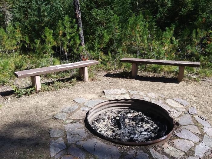
Berlin Flats Group Area is located along Shoshone Creek, near the North Fork Coeur d’Alene River. This area provides a perfect escape for a warm summer weekend. Here, visitors can tent camp or pull out their RVs and trailers. The nearby river provides ample fishing and river floating opportunities.

Recreation

Catch-and-release cutthroat trout fishing is also popular on Shoshone Creek, and the North Fork Coeur d’Alene River. Rafting, swimming and kayaking are favorite activities on the water.

Facilities

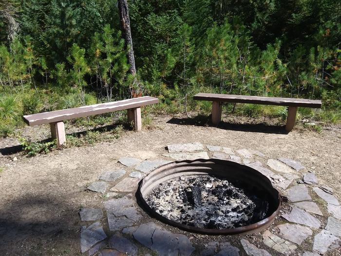
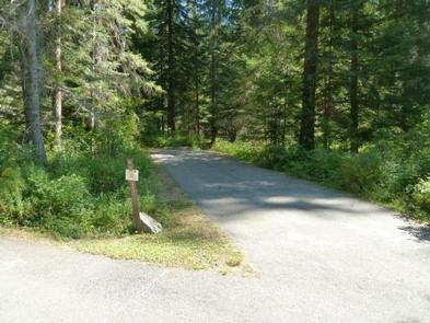
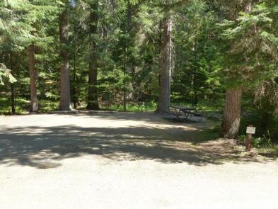
Berlin Flats Group Area was formed from 9 single family sites. The group area can accommodate up to 75 people. Amenities include drinking water and vault toilets within 10 miles.

Natural Features

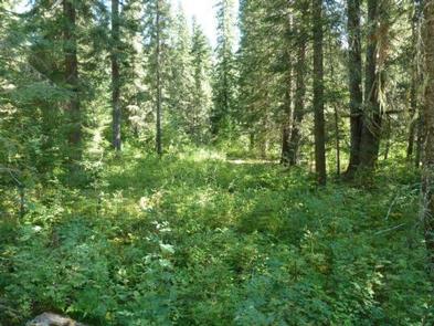
The campground sits among lodgepole and other mixed pines along the river at an elevation of 2,600 feet. The area is located among peaks of the Cascades, about 70 miles from the popular Coeur d’Alene Lake. Wildlife watchers and photographers have the chance to see mule deer, moose, osprey and calliope hummingbirds.

Reservation

More from CampingHiking.net:

TWELVE MILE, Georgia Campground Images, Info & Reservations

Directions From Clemson, South Carolina, take Highway 133 north for almost two miles. Twelve Mile will be on the left. 113 TWELVE MILE PARK, Clemson, SC 29631 Phone 888-893-0678 HARTWELL PROJECT OFFICE Activities BOATING, FISHING, PICNICKING, DAY USE AREA, SWIMMING SITE, WATER ACCESS Keywords TWEL,HARTWELL LAKE PROJECT Related Link(s) Rec

LAKE ALEXANDER CABIN, Alaska Campground Images, Info & Reservations

Directions Access to the cabin is by floatplane or canoe/kayak with portage. It is about a 45-minute flight from Juneau. By canoe and portage, it is about 6.5 miles from Mole Harbor. Refer to USGS topographic map Sitka C-1, C-2. Click here for information about reaching Forest Service cabins. Phone

CHIPPEWA, Wisconsin Campground Images, Info & Reservations

Directions From Medford, Wisconsin, travel north on State Highway 13 for 4 miles. Turn left onto County Road M and continue for about 24 miles then turn left onto Forest Road 1417. Phone 715-748-4875 Activities BOATING, CAMPING, FISHING, HIKING, SWIMMING SITE Keywords CHIP,MILLER DAM,MONDO DAM,CHEQUAMEGON-NICOLET NF – FS Related Link(s)

BEAVER SULPHUR, Oregon Campground Images, Info & Reservations

Directions From Jacksonville, OR, travel south 8 miles on Highway 238 to Ruch, OR, and turn left on to Upper Applegate Road (County Road 859). Continue approximately 8.5 miles and turn left on to Forest Road 20. Continue 3 miles to Beaver-Sulphur Campground, the entrance is on the right. Phone

ASPEN GROUP AREA, New Mexico Campground Images, Info & Reservations

Directions In southeast New Mexico, approximately 20 miles east of Alamagordo. From Alamagordo take US 82 east and go 16 miles. Just before Cloudcraft turn right (South) on NM 130. Go 1.4 miles. Turn left (east) on Forest Road 24B, go 0.5 miles. Aspen Group Area is on the left