LOFERS BEND DAY USE (TX), TX Campground Reservation, Info, Images, Map, Directions

LOFERS BEND DAY USE (TX), Texas Campground Images, Info & Reservations

Directions

From I-35 in Hillsboro, take Hwy 22 West for 12 miles to Whitney, continue 7 miles past Whitney, and turn right before the dam. Take the first left turn.

Phone

254-622-3332

Activities

CAMPING, HIKING, SWIMMING SITE

Keywords

Lofers,Lofer’s Bend,Day Use,Lofers Day Use

Related Link(s)

Rec Area Info & Images

Overview

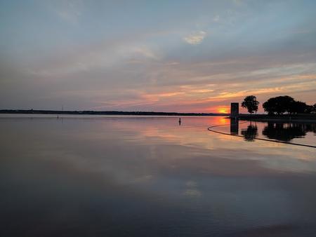
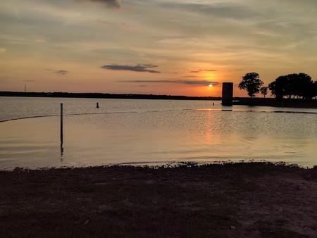
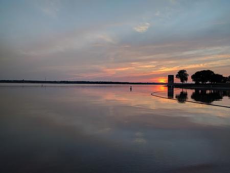
Lofers Bend Day Use Park is located on Whitney Lake on the Brazos River in central Texas. Whitney Lake gets over two million visitors a year. Visitors enjoy many recreational activities in the area and the scenic beauty that Whitney Lake provides. Lofers Bend Day Use gates will open at 6:00 am and the park will close at 10:00 pm.

Recreation

Boating, fishing, swimming, volleyball, and hiking opportunities are provided in the park.

Facilities

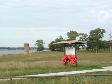
Lofers Bend Day Use Park offers 29 picnic sites, a reserveable day use group pavilion, a two lane boat ramp, playground, 2 swim beaches, 2 sand volleyball courts, a 1.5 mile fitness trail, and 2 restrooms.

Natural Features

The park is located in Hill County on the upstream side of Whitney Dam and features an oak-savannah landscape including a variety of oak trees, native grasses, and wildflowers. Whitetail deer can often be seen in the park.

Nearby Attractions

The 12.5 mile Hopewell Trail is nearby. The trail allows hiking, mountain biking, and horseback riding. Visitors can choose to travel north on the trail to Kimball Bend Park, or south to Lakeside Village and Powelidale Mountain.

Reservation

More from CampingHiking.net:

BIG CREEK HORSE CAMP, North Carolina Campground Images, Info & Reservations

Directions The campground is located off I-40 Exit 451 (Waterville). It sixteen miles east of Newport, TN. Follow Waterville road, crossing over the Pigeon River, past the Walters Power Generating Station and continue one mile to the 4-way intersection at Mt Sterling Gap.   Follow the signs to Big Creek. Drive

ASPEN (AZ), Arizona Campground Images, Info & Reservations

Directions From Payson, take Highway 260 northeast toward Heber. Take a left at the sign for Woods Canyon Lake (Rim Road/Forest Road 300). Follow for about 5 miles and turn right onto the paved road at the sign toward Woods Canyon Lake (there is no road sign). Aspen Campground is

GREEN RIVER LAKES, Wyoming Campground Images, Info & Reservations

Directions From Pinedale, drive 7 miles west on U.S. Highway 191. Turn north onto Wyoming Highway 352 and continue 25 miles to the forest boundary, where the pavement ends. Continue on the dirt road for 18 miles to the campground. While the dirt road to the campground is suitable for

PORUM LANDING, Oklahoma Campground Images, Info & Reservations

Directions From Porum, Oklahoma, take Texanna Road west for 7 miles, then follow signs to the campground. Phone 918-799-5843 Activities BOATING, CAMPING, FISHING, HIKING, SWIMMING SITE Keywords PORU,EUFAULA LAKE,EUFAULA LAKE Related Link(s) Rec Area Info & Images Oklahoma State Road Conditions Oklahoma State Tourism Overview Porum Landing Campground sits along

GAMALIEL, Arkansas Campground Images, Info & Reservations

Directions From Mountain Home, AR, travel 9 miles east on US 412/62, then 5 miles north on SR 101, then 3 miles southeast on CR 42. Follow signs into campground. Phone 870-467-5680 Activities BOATING, CAMPING, SWIMMING SITE Keywords GAMA,NORFORK LAKE,NORFORK LAKE Related Link(s) Rec Area Info & Images Arkansas State