
Directions
From I-5 in Sutherlin, head west 12 miles on Highway 138. Turn left and cross over Bullock Bridge and immediately turn right only Country Road 57 (Bullock Road). Travel .5 miles to the campground.
Phone
541-440-4930
Activities
CAMPING, FISHING
Keywords
Related Link(s)
Overview
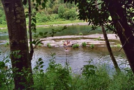
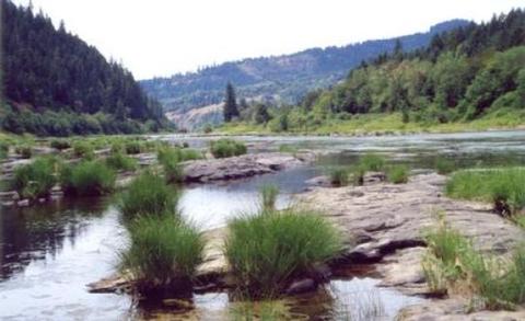
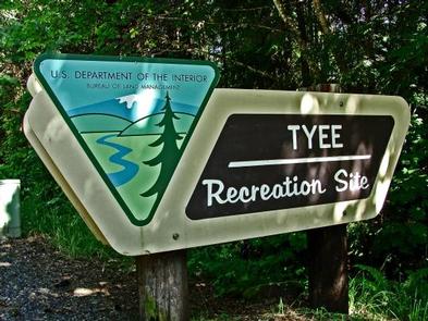
Tyee Campground is situated between the Pacific Coast and the city of Roseburg, Oregon. Perched on the banks of the Umpqua River, its location appeals to avid anglers and water sport enthusiasts.
The name, Umpqua, is a surviving term of the Native American Umpqua language, and translates to “thundering waters,” “satisfied,” or “across the waters.”
Recreation
Fishing enthusiasts will enjoy the chance to catch chinook and coho salmon, steelhead, or bass depending on the season. A round of horseshoe on the grounds or a walk down to the river will appeal to those looking for a more casual day.
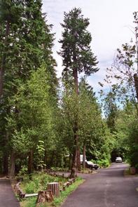
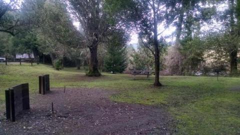
Facilities
There are two areas with campsites. Both areas are first-come first-served campsites. You will have access to amenities including multiple spigots for drinking water, restrooms, horseshoe pits, an emergency phone, and river access. The campground also features the reservable Tyee Pavilion, which includes six large picnic tables, a long serving counter, sink, electrical outlets and a large barbecue grill. Search for Tyee Pavilion at recreation.gov for further information.
Natural Features
Tyee is located along the Umpqua River in southwestern Oregon. It is only one of two rivers in Oregon with headwaters that begin high up in the Cascade Mountains and meanders on down to the Pacific Ocean. The campground lies in a broad river canyon surrounded by deeply forested mountainsides.
Nearby Attractions
The Umpqua River Scenic Byway offers breathtaking views and outstanding scenery. Along the byway lies the town of Elkton, well-known for its wineries and butterfly pavilion.
West of Elkton is the Dean Creek Elk Viewing Area, where spotting majestic Roosevelt Elk near the roadway is almost guaranteed. The Pacific Coast is roughly 50 miles from Tyee.