

Directions
From Roseburg, OR, travel east on OR-138 East /NE Diamond Lake Boulevard for 35 miles, Bogus Creek Campground is on the left side of the highway – opposite of the campground entrance sign.
Phone
541-496-3532
Activities
FISHING, HIKING, WILDLIFE VIEWING
Keywords
Related Link(s)
Overview
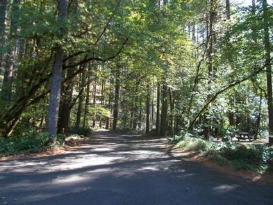
Bogus Creek Campground is situated in a stand of old growth Douglas fir, cedars, and deciduous trees, among many flowering shrubs and native species. Its proximity to the Wild & Scenic North Umpqua River makes this campground the perfect get away.
Recreation
Bogus Creek Campground is located in a prime location to participate in many outdoor endeavors such as hiking, mountain biking, fly fishing, and whitewater rafting to name a few. If nature photography or wildlife viewing are your passion, you will be in no better place to capture Mother Nature’s splendor through your lens or sit along the river to see the flight of the majestic bald eagles that call the North Umpqua River home. The North Umpqua River, just across the highway from this campground, offers many recreational pursuits and river access is made easy with a raft launch located across from the campground as well. Renowned for outstanding salmon and steelhead fishing and exhilarating whitewater challenges, the North Umpqua River offers an ideal setting for many recreational pursuits.
Facilities
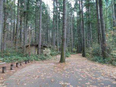
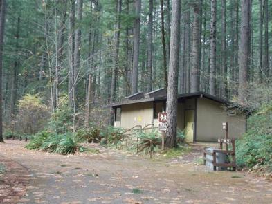
This 14 site campground offers potable water, accessible flush toilets and hand washing sinks. Each site is equipped with a picnic table and fire ring and some sites offer a barbeque grill. Roads and spurs in this campground are paved. Trash facilities are available within the campground. Access to the North Umpqua River is within walking distance. A campground host is on site during peak season. All sites are reservable, unreserved sites will be made available on a first-come first-serve basis.
Natural Features
Visitors to the Umpqua National Forest are often taken aback by the unique landscapes of southwestern Oregon. Explosive geologic events have shaped the distinctive landscape on the nearly 1 million-acre forest, and provide spectacular scenery as well as an abundance of natural and cultural resources.
The translation of the word “Umpqua,” meaning “thundering waters,” defines the area. High mountain lakes, heart stopping rapids, peaceful ponds and thundering waterfalls, including the beautiful Toketee Falls, offer visitors plenty to see and do.
Nearby Attractions
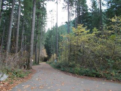
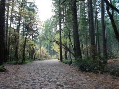
The popular 79 mile North Umpqua Trail is nearby and can be accessed easily from the campground from the Wright Creek or Mott Trailheads. Within the campground, you can walk along the Riverview Trail and treat yourself to amazing views of the river. Opportunities for mountain biking and whitewater rafting are within 10 miles. This campground sits along the route of the Rogue-Umpqua National Scenic Byway. The Byway offers 172 miles of diverse river and mountain landscapes that traverses through the Umpqua and Rogue River valleys. Travel from rolling oak covered hills and towering coniferous forests, to roaring white water rapids and incised inter-canyon lava flows. The highway travels alongside the Upper Rogue and the Wild & Scenic North Umpqua River.