
Directions
From Roseburg, OR, travel east on OR-138 East/ NE Diamond Lake Boulevard for approximately 51 miles. Turn right on Forest Service Road (FSR) 4750 and follow less than 1/4 mile. At the junction turn right onto FSR 4750-001. Follow the road approximately 0.5 mile into the campground.
Phone
541-496-3532
Activities
FISHING, SWIMMING, BIRDING
Keywords
Related Link(s)
Overview
Horseshoe Bend Campground is situated in a stand of old growth Douglas fir, sugar pine, and deciduous trees, on the banks of the Wild & Scenic North Umpqua River. The campground offers the perfect setting for families, anglers, whitewater enthusiasts, and anyone who wants to escape and relax in their natural surroundings.
Recreation
Horseshoe Bend Campground is in a prime location for many outdoor activities including hiking, fly fishing, mountain biking, swimming, and whitewater rafting to name a few. Nature photographers find no shortage of amazing scenery to photograph and if wildlife viewing and sightseeing is your thing, look no further!
The North Umpqua River, which runs adjacent to this campground, drains portions of the western side of the Cascade Range. Almost 34 miles of this river has been designated Wild & Scenic for its outstanding fisheries, recreational offerings, water quality and quantity, cultural resources, and scenery. Renowned for world-class salmon and steelhead fishing, and exhilarating whitewater challenges, the North Umpqua River offers an ideal setting for many recreational pursuits.
Running nearly parallel to the North Umpqua River is the popular North Umpqua Trail. This 79 mile National Recreation Trail offers a trek for every ability. Mountain bikers won’t feel left out as there are many opportunities to test your riding skills. Several trailheads can be accessed in the vicinity of the campground. In most places the trail travels near the river, allowing you to hike or ride with the sound of rapids and picturesque views spurring you on. Passing through lush forests, old-growth trees, and rocky bluffs, you will also occasionally get a bird’s eye view of the river. This trail will not disappoint!
Facilities
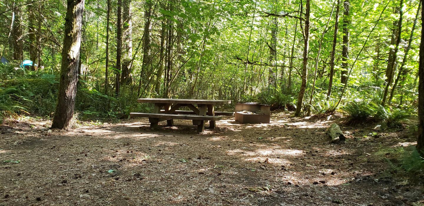
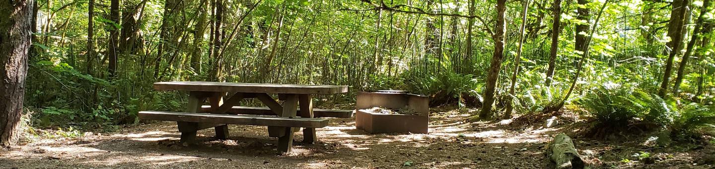
This campground is equipped with potable water and bathrooms with flush toilets and hand washing sinks. Access to the North Umpqua River is adjacent to many sites. Roads and spurs in this campground are paved. There are 25 sites, 12 are reservable and the rest are available on a first-come first-serve basis. All sites have picnic tables and fire rings; some have barbeque grills. Trash receptacles are available and a campground host is on site 24 hours a day.
Natural Features
Visitors to the Umpqua National Forest are often taken aback by the unique landscape of southwestern Oregon. Explosive events have shaped the distinctive landscape on the nearly 1 million-acre forest, and provide spectacular scenery as well as an abundance of natural and cultural resources.
The translation of the word “Umpqua” meaning “thundering waters” defines the area. High mountain lakes, heart stopping rapids, peaceful ponds, and thundering waterfalls offer visitors many options to play in nature.
Diverse ecosystems support a wide range of habitat for wildlife common to the area. From eagles and owls, to salamanders and salmon, these species, along with many others, depend on surrounding undeveloped wilderness, clean streams and diverse forests to live.
Nearby Attractions
In addition to the hiking and mountain biking opportunities nearby, there is also a non-motorized boat ramp and whitewater rafting available on the river. Visitors may want to take some time to visit nearby Crater Lake National Park, the only national park in Oregon! The amazing Crater Lake area offers a glimpse into the volcanic history of the area. Experience 172 miles of diverse river and mountain landscapes along the Rogue-Umpqua National Scenic Byway. Travel from rolling oak-covered hills and towering coniferous forests, amid some of the most unique geologic features. From roaring white water rapids to inter-canyon lava flows, this drive will take your breath away. The highway travels alongside the Upper Rogue and North Umpqua Wild & Scenic Rivers that contain world class fisheries.