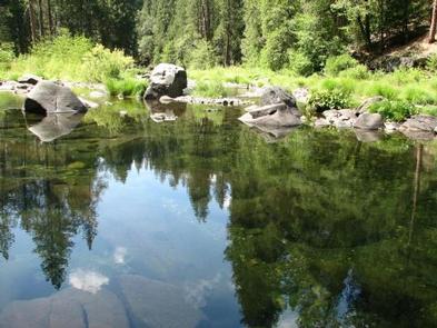
BRIDAL VEIL GROUP AREA AND PICNIC GROUND, CA Campground Reservation, Info, Images, Map, Directions

BRIDAL VEIL GROUP AREA AND PICNIC GROUND, California Campground Images, Info & Reservations

Directions

From Placerville, take Hwy 50 east for 17 miles. The site is on the South Fork of the American River.

Phone

831-245-6891

Activities

CAMPING, FISHING, SWIMMING SITE

Keywords

Bridalveil

Related Link(s)

Rec Area Info & Images

Forest Service Concessionaire

California State Road Conditions

California State Tourism

Overview

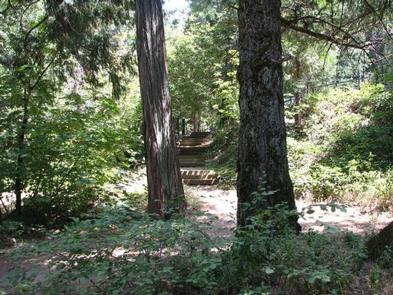
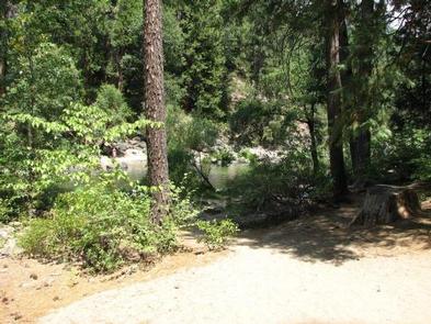
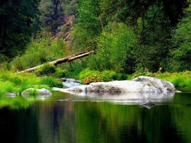
Bridal Veil Group Campsite and Picnic Area is located on the South Fork of the American River. It offers picnicking sites, a group overnight area, beautiful swimming holes, and close access to fishing.

Recreation

This site provides two large swimming holes in the river that are popular with the local residents. Fishing is also a popular activity, mainly rainbow and brown trout.

Facilities

Bridal Veil Group Area is on a hill overlooking the river and day use area. The group area includes lot-style parking with 7 parking stalls, 5 tent pads, 8 picnic tables, 6 serving tables, and a large group fire ring. Group campsite users may use the day use areas with no additional fees. None of the facility is accessible. There is no water available on site. The facility has a host on site from mid-May through mid-October.

Natural Features

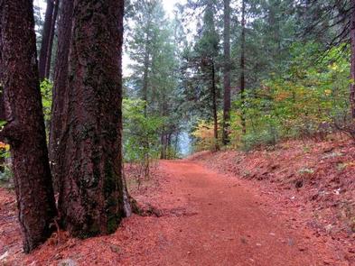
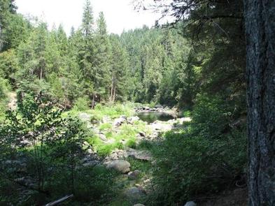
Sitting at an elevation of 3,200 feet, Bridal Veil group campsite provides easy access to the American River. A Mediterranean climate extends over most of this forest, creating warm, dry summers, and cold, wet winters. Vegetation is mixed conifers with riparian vegetation along the river.

Nearby Attractions

Visitors enjoy scenic drives along Highway 50 and surrounding forest roads. The site is within a half hour drive of both Jenkinson Lake and Crystal Basin. It is 10 minutes from the stores and restaurants of Pollock Pines and 5 minutes from Bridal Veil Falls. South Lake Tahoe is a 45 minute drive.

Reservation

More from CampingHiking.net:

BEN ROVER CABIN, Montana Campground Images, Info & Reservations

Directions Ben Rover Cabin is located 35 miles north of Columbia Falls, on North Fork Road (County Road 486). From Columbia Falls, travel north on Nucleus Avenue. Turn east at the stop sign, on Railroad Street. The road becomes the North Fork Road as it travels over the railroad overpass.

KALALOCH, Washington Campground Images, Info & Reservations

Directions Kalaloch Campground is on Highway 101, 34 miles south of Forks, Washington, and 73 miles north of Aberdeen, Washington. Phone 360-565-3130 Activities CAMPING, HIKING, VISITOR CENTER, WILDLIFE VIEWING Keywords Clay-lock,Clay Lock,Olympic National Park Related Link(s) Rec Area Info & Images Washington State Tourism Washington State Road Conditions Overview Kalaloch

ROCK CREEK GROUP, Utah Campground Images, Info & Reservations

Directions From Duchesne, Utah, take Highway 87 north 15 miles to the Mountain Home turnoff and turn left. Continue 2.5 miles north to the Rock Creek Store and turn left toward Rock Creek Canyon. Proceed approximately 14 miles to the campground. Phone 435-738-2482 Activities BIKING, CAMPING, FISHING, HIKING, WILDLIFE VIEWING

CRAIGS CREEK GROUP AREA, Kentucky Campground Images, Info & Reservations

Directions From London, Kentucky, take Exit 38 from I-75. Take Kentucky 192 west for 12.2 miles. Turn left onto Forest Road 62 and drive 2 miles to the Craig’s Creek site. Phone 606-528-6156 Activities BIKING, CAMPING, FISHING Keywords CRAS,CRAIGS CREEK CAMPGROUND,CRAIGS CREEK SHELTER,CRAIGS CREEK PICNIC SHELTER,LAUREL RIVER LAKE,LAUREL LAKE,DANIEL BOONE

SAM OWEN, Idaho Campground Images, Info & Reservations

Directions From Sandpoint, take State Highway 200 east 21 miles. Turn right on Peninsula Road (County Road 1028) and continue 1 mile to the recreation area. Phone 435-245-6521 Activities BOATING, CAMPING, DAY USE AREA, SWIMMING SITE Keywords SAMO,LAKE PEND ORELLIE,SANDPOINT,IDAHO,HOPE,IDAHO,HIGHWAY 200,SKIPPING STONE,SCENTED LEAF,RED SUN,DANCING SHADOWS,IDAHO PANHANDLE NF – FS Related