Directions
Take US 321/TN 67 East out of Hampton, TN. Turn right onto Dennis Cove Road and drive approximately 5 miles. Dennis Cove Road is steep with hairpin turns, so plan to drive slowly.
Phone
423-735-1500
Activities
CAMPING, FISHING, HIKING, HUNTING, WILDLIFE VIEWING, SWIMMING, MOUNTAIN BIKING, WATER ACCESS, BACKPACKING, EMERGENCY SERVICES
Keywords
Related Link(s)
Tennessee State Road Conditions
Overview
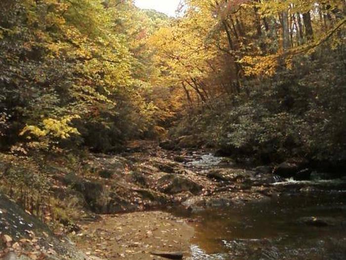
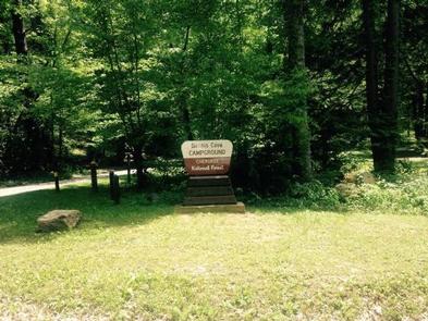
Dennis Cove Campground will close for the season on Monday, October 14, 2019. Dennis Cove Campground is a secluded campground along Laurel Fork Creek at an elevation of 2,650 feet in Carter County. This remote developed campground is popular with those seeking a rustic experience. The altitude, creek side location and lush forest surroundings make Dennis Cove particularly desirable during hot summer months. With 15 campsites, Dennis Cove is a great option for a group to reserve the whole campground for retreats and other events.
Recreation
Along with camping, Laurel Fork Creek is stocked with rainbow trout below the campground. Above the campground, the creek and its tributaries are managed as wild trout streams for brown, rainbow and brook trout. Laurel Fork Trail (#39) follows the creek upstream for 8.0 miles with twenty-six stream crossings. The Appalachian National Scenic Trail is accessed via the nearby Coon Den Falls Trail (# 37).
Facilities
There are 15 single campsites, including two double sites within Dennis Cove Campground. The campground has flush toilets. Each site contains a table, fire ring and lantern holder.
Natural Features
Dennis Cove Campground is located along the beautiful Laurel Fork Creek nestled in the mountains of the Southern Appalachians.
Nearby Attractions
Trailheads for Coon Den Falls Trail (#37) and the Appalachian National Scenic Trail (#1) are approximately a half mile west of the campground on Dennis Cove Rd. Watauga Lake is approximately 25 minutes away.


