
Directions
From Asheville, North Carolina, take I-26 west to exit 9 onto 19 east towards Burnsville. Follow 19 to Micaville and turn right onto Highway 80. Continue south approximately 12-14 miles to Mount Mitchell Golf Course. Turn right on South Toe River Road and follow signs to Black Mountain Campground.
Phone
828-675-5616
Activities
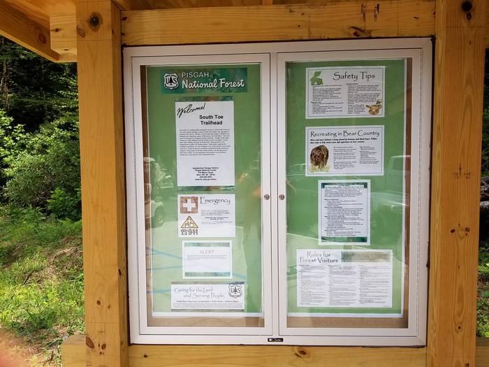
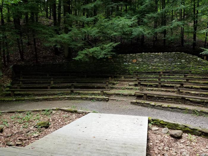
BIKING, CLIMBING, CAMPING, INTERPRETIVE PROGRAMS, FISHING, HIKING, DAY USE AREA, SWIMMING SITE
Keywords
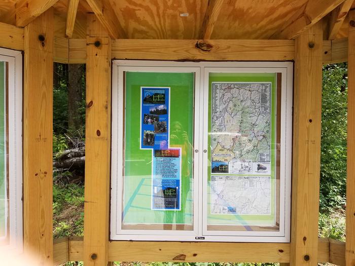
Related Link(s)
North Carolina State Road Conditions
Overview
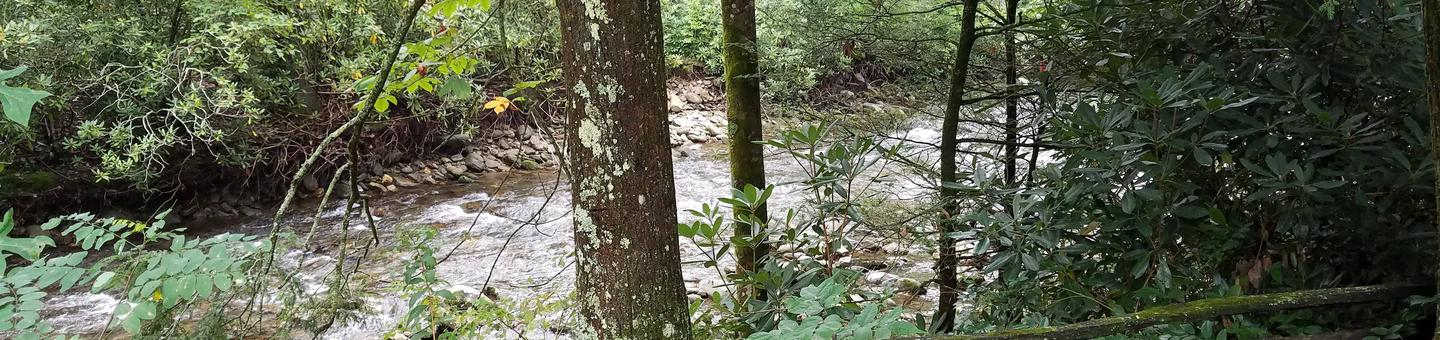
Black Mountain Campground sits in the shadow of Mt. Mitchell, the highest peak in the eastern U.S. and borders the South Toe River. Black Mountain is a mecca for the outdoor enthusiast.
Recreation
With the South Toe River located adjacent to the campground, visitors will have no shortage of things to do, including picnicking, day hiking, scenic driving and trout fishing. Hikers will be pleased with a variety of trails from which to choose, including a leisurely half-mile walk through the forest or a challenging 5.6-mile hike to Mt. Mitchell.
Facilities
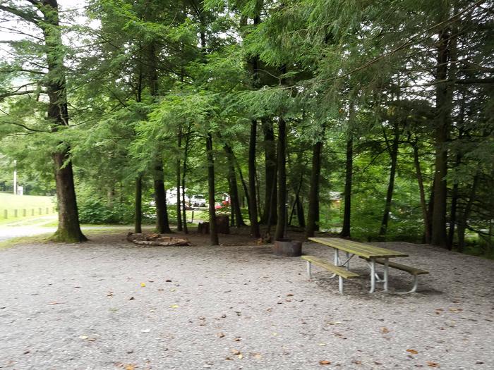
The campground offers 37 primitive campsites with 3 campsites with electric hookups. The campsites are equipped with picnic tables, tent pads, lantern posts and campfire rings with grills. The facility provides hot showers and restrooms with flush toilets. Campers can purchase firewood, ice, tee shirts and souvenirs.
Natural Features
The campground sits at an elevation of 3,040 feet. The 6,684-foot Mt. Mitchell towers over the area, with several other high peaks of the Black Mountains nearby. This lush Appalachian forest is rich with wildlife, plants and scenery.
Nearby Attractions
Groups can easily head out for a day of scenic driving along Blue Ridge Parkway or hiking in Mount Mitchell State Park.