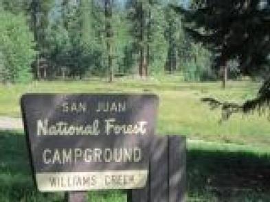
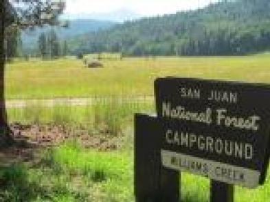
WILLIAMS CREEK CAMPGROUND, CO Campground Reservation, Info, Images, Map, Directions

WILLIAMS CREEK CAMPGROUND, Colorado Campground Images, Info & Reservations

Listen

Directions

From Pagosa Springs, turn north on Piedra Road (Forest Road 361.) Turn right at the intersection of FS 631 and FS 640, about 3 miles north of Bridge Campground. The entrance is approximately 1/2 mile from the junction.

Phone

970-264-2268

Activities

BIKING, CAMPING, HIKING

Keywords

Related Link(s)

Rec Area Info & Images

Colorado State Tourism

Colorado State Road Conditions

Overview

This popular campground, 23 miles north of Pagosa Springs, Colorado, offers both shaded and sunny campsites with some located creek-side. Visitors enjoy the area for its fishing, all-terrain vehicle (ATV) riding, and scenic opportunities.

Recreation

The campground is one mile from Williams Reservoir, a popular fishing and kayaking spot. There are several ATV and hiking trails approximately one to five miles beyond the campground.

Facilities

The campground offers many single family sites, some with water and sewer hookups and many with views of the surrounding mountains. There are two double sites and one triple site, suitable for larger family gatherings. There are a few level pull-through and back-in sites appropriate for larger RVs. Vault toilets and drinking water are available. Firewood may be purchased from the camp host.

Natural Features

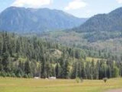
The campground is situated among cedar, aspen and ponderosa pines. Some sites are located on the banks of Williams Creek, which runs along the eastern edge of the campground; some have spectacular views of the surrounding mountains.

Nearby Attractions

There are many fishing opportunities in the creek and in the nearby reservoir. A popular hike nearby is Piedra Falls, located a short distance from the campground. ATV enthusiasts enjoy Poison Park Road which is several miles from the campground, or traveling to East Fork Road to enjoy this four-wheel drive-only road to Silver Falls. Just a few miles north of Williams Creek Campground, is the Cimarrona Trail which begins across the road from its campground namesake. The Williams Creek Trail begins at the end of the Williams Creek Road, at the Palisades Horse Camp. Both run through the Weminuche Wilderness to connect with the Continental Divide Trail. In addition, the town of Pagosa Springs offers many festivals on the weekends and the hottest, deepest hot springs in the country.

Reservation

More from CampingHiking.net:

TOMPKINS BEND, Arkansas Campground Images, Info & Reservations

Listen Directions From Hot Springs, Arkansas, take US 270 west approximately 24.5 miles to Tompkin Bend Road. Turn right and follow access road 2.4 miles north to park. From Mount Ida, Arkansas, take US 270 east about 10.7 miles to Tompkins Bend Road. Turn left and follow access road 2.4

DEER HAVEN, Utah Campground Images, Info & Reservations

Listen Directions From Cedar City, Utah, take Highway 14 east for 16 miles. Turn south on Webster Flat Road and travel 3 miles to the campground. Phone 801-226-3564 Activities BIKING, CAMPING, HIKING, WILDLIFE VIEWING, DAY USE AREA Keywords DEEH,DIXIE NF – FS Related Link(s) Rec Area Info & Images Utah

CRESCENT CREEK CAMPGROUND, Oregon Campground Images, Info & Reservations

Listen Directions From Crescent, OR: Travel 8.7 miles west on County Road 61/Crescent Cut-off Road. Phone 541-323-1746 Activities CAMPING Keywords Related Link(s) Rec Area Info & Images Oregon State Road Conditions Oregon State Tourism Overview Crescent Creek is a small campground that is somewhat isolated from other campgrounds in the

BLUFFVIEW PARK, Texas Campground Images, Info & Reservations

Listen Directions From Woodville, Texas, go 11 miles east on U.S. 190. Turn south on FM 92 and go 5 miles to the park, which is on the left just north of the project office. Phone 1 (877) 444-6777 Activities CAMPING, FISHING, WILDLIFE VIEWING Keywords BFVP,TOWN BLUFF DAM,OVERLOOK PARK,DAM B,TOWN

MANTI COMMUNITY, Utah Campground Images, Info & Reservations

Listen Directions Located 7 miles east of Manti, Utah, on Forest Development Road #045. Phone 435-283-4151 Activities BIKING, BOATING, CAMPING, FISHING, HIKING, WILDLIFE VIEWING Keywords MANT,MANTI-LASAL NF -FS Related Link(s) Rec Area Info & Images Utah State Tourism Utah State Road Conditions Overview Manti Community Campground is just 7 miles

PAWNEE, Colorado Campground Images, Info & Reservations

Listen Directions From Denver, travel north on Interstate 25 to U.S. Highway 36 West to Boulder. Continue on Colorado Highway 119 (Canyon Boulevard) for 22 miles to Nederland, then go north on Colorado Highway 72 to Ward. Turn left at the sign and travel 5 miles to Brainard Lake Recreation