WEST PARK (OR), OR Campground Reservation, Info, Images, Map, Directions

WEST PARK (OR), Oregon Campground Images, Info & Reservations

Directions

From Highway 730 turn north on Devore Road, at the stop sign turn left and continue down the hill, turn right onto Third Street and West Park will be about a half a mile down on your left.

Phone

541-922-2268

Activities

PICNICKING, DAY USE AREA

Keywords

Related Link(s)

Rec Area Info & Images

Oregon State Tourism

Oregon State Road Conditions

Overview

West Park is located within McNary Dam Wildlife Area just downstream of McNary Dam in Eastern Oregon on the Mid-Columbia River.

Recreation

The park provides two softball fields and a playset for the children to enjoy the park. There is also close access to the McNary Dam Wildlife Areas and its trail system.

Facilities

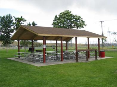
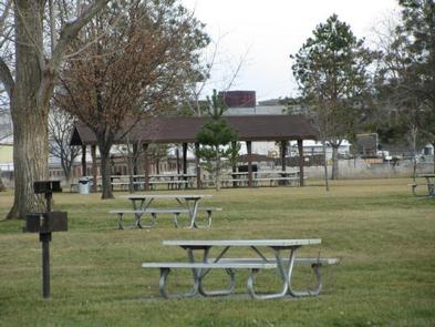
West Park offers two reservable picnic shelters. West Park #1 Steelhead Shelter has eight picnic tables and two fire grills and West Park #2 Coho Shelter has 10 picnic tables and two fire grills. Both shelters also offer electricity.

Natural Features

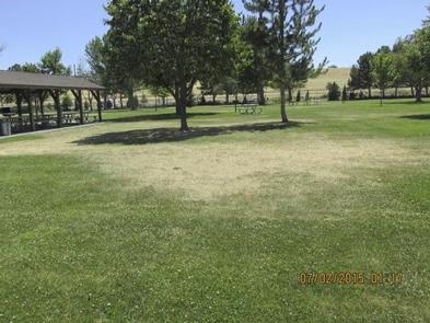
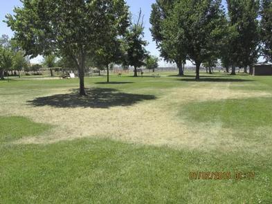
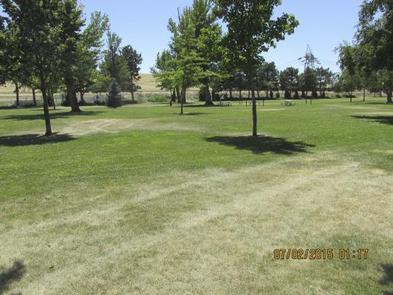
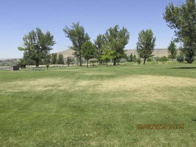
The park is located within the McNary Dam Wildlife Area. Day users enjoy the beautiful park with its mature shade trees.

Nearby Attractions

The Pacific Salmon Visitor Center, Oregon Fish Viewing Room and the McNary Dam Wildlife Area with its beautiful natural trails are all in close proximity to West Park.

Reservation

More from CampingHiking.net:

CURLEW CAMPGROUND, Idaho Campground Images, Info & Reservations

Directions Take the Snowville, Utah, exit off Interstate 84, northwest of Tremonton. Continue north on the paved highway for 6.5 miles. Turn left (north) at the Curlew Campground sign, then go another half-mile on a gravel road to the campground. From Holbrook, Idaho, travel 24 miles west of Malad and

CADIZ, Kentucky Campground Images, Info & Reservations

Directions From Nashville, Tennessee,or St. Louis take I-24 to the Cadiz, Exit 65, travel west on St. HWY 68/80 6 miles. Turn right onto KY 139 for 1.5 miles. turn left on Jefferson St Phone 270-362-4236 Activities BOATING, FISHING, PICNICKING, DAY USE AREA Keywords CADI,LAKE BARKLEY,BARKLEY LOCK & DAM Related

TETILLA PEAK, New Mexico Campground Images, Info & Reservations

Directions From Albuquerque, New Mexico, take I-25 north to exit 264. Travel west on State Road 16 to the Tetilla Peak Recreation Area/La Bajada Village turnoff and follow the paved road into the recreation area. Phone 505-465-0274 Activities BOATING, CAMPING, FISHING, HIKING, SWIMMING SITE Keywords TPEA,COCHITI LAKE Related Link(s) Rec

Alpine Meadows Campground, California Campground Images, Info & Reservations

Directions From State Highway 267, turn onto Martis Dam Road. Continue on Martis Dam Road for approximately 1.2 miles. Tur miles. Turn right a 0.2 miles to the campground entrance. You have now arrived at the entrance to Alpine Meadows Campground.  Phone (530) 587-8113 Activities BIKING, CAMPING, FISHING, PICNICKING, WILDLIFE