LOWER TWIN CAMPGROUND (VA), VA Campground Reservation, Info, Images, Map, Directions

LOWER TWIN CAMPGROUND (VA), Virginia Campground Images, Info & Reservations

Listen

Directions

From John W. Flannagan Dam & Reservoir continue on RT. 739. Turn left on Rt. 611, travel 2 miles, turn left on to Corps Lower Twin Rd. Campground is .25 miles.

Phone

276-835-9544

Activities

BIKING, BOATING, CAMPING, FISHING, HIKING, WILDLIFE VIEWING

Keywords

Related Link(s)

Rec Area Info & Images

Virginia State Tourism

Virginia State Road Conditions

Overview

The John W. Flannagan Dam & Reservoir Area boasts an expansive lake nestled in the rolling green Cumberland Mountains of southwest Virginia, offering visitors an oasis of recreation in the summer months. The nearby dam, built primarily for flood control for the Cranesnest and Pound Rivers, creates a breathtaking lake that is maintained at nearly 1,400 feet above sea level. This facility is an ideal spot for picnicking, water activities and hiking.

Recreation

Flannagan’s reputation as a fisherman’s paradise is well-known. Visitors can enjoy secluded coves of deep, clean water that are well-stocked with bass, walleye and trout. Boating, canoeing, whitewater rafting, and biking top the long list of activities available nearby.
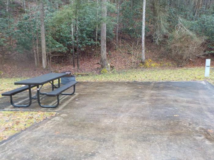
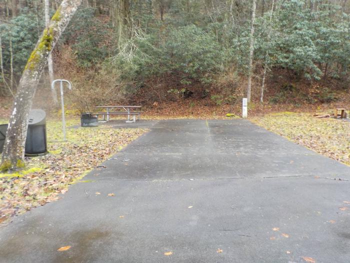
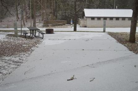
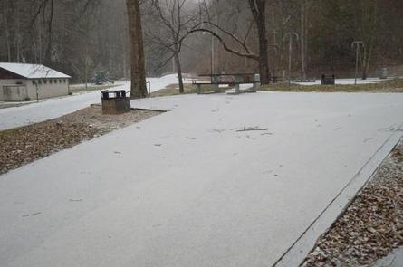
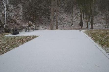
Facilities

The campground offers campsites with electric hookup options, bath houses, playgrounds, launch ramps and picnic shelters with grills and horseshoe pits which provide an ideal location for parties and other get-togethers.

Natural Features

The John W. Flannagan Dam, completed in 1964, carves out a 1,145-acre lake with nearly 40 miles of beautiful shoreline in the lush Virginia mountains.

Nearby Attractions

Breaks Interstate Park is nearby, offering lodging, dining, a museum, gift shop, rafting, canoeing, rock climbing and other outdoor activities.

Reservation

More from CampingHiking.net:

LID CREEK CAMPGROUND, Montana Campground Images, Info & Reservations

Listen Directions Lid Creek Campground is located 15 miles south of Hungry Horse, Montana, on the West Side Reservoir Road 895. To find the West Side Reservoir Road, turn off of Highway 2 just past milepost 144. Take the paved West Side Reservoir Road across the Hungry Horse Dam and

ACKERMAN CAMPGROUND, California Campground Images, Info & Reservations

Listen Directions From Weaverville, take Highway 3 north for 7 miles. Turn right on Rush Creek Road for 9 miles. Turn left on Trinity Dam Boulevard for 7.5 miles. Phone 530-275-8113 Activities BOATING, CAMPING, FISHING, HIKING, WILDLIFE VIEWING Keywords Lewiston Lake Related Link(s) Rec Area Info & Images California State

HIRZ MOUNTAIN LOOKOUT, California Campground Images, Info & Reservations

Listen Directions From Redding, California, take Interstate 5 north approximately 20 miles to Gilman Road, exit 698. Turn right and follow Gilman Road approximately 5 miles to road 35N04. Turn left on the road 35N04. This steep, rocky, dirt road is not recommended for low clearance passenger vehicles. Travel approximately

FALES FLAT CAMPGROUND, Montana Campground Images, Info & Reservations

Listen Directions From Darby, travel south on Highway 93 for about four miles. Turn onto Highway 473 and continue southwest for 14 miles. Turn west onto Forest Road 468 and continue about 12 miles to the campground. Phone 406-821-3269 Activities BIKING, CAMPING, FISHING, HIKING, HUNTING, SCENIC DRIVE, HISTORIC SITES Keywords

KENNEL CREEK CABIN (AK), Alaska Campground Images, Info & Reservations

Listen Directions Kennel Creek Cabin is located approximately 19 air miles southeast of the City of Hoonah, Alaska on the south shore of Freshwater Bay. Access is by vehicle, float plane, or boat. Total distance by gravel road is approximately 27 miles. By road travel south from Hoonah past the