
Directions
From Washington, D.C., metro area, travel west on Interstate 66 to exit 43A. Take US Highway 29 south approximately 55 miles to Ruckersville, Virginia, then take US Highway 33 west to Shenandoah National Park and Skyline Drive Swift Run Entrance. Follow Skyline Drive south approximately 18 miles and turn left into the Dundo Campground/Picnic area.
From Richmond, Virginia, area, travel west on Interstate 64 to exit 99 for Shenandoah National Park and Skyline Drive. Take Skyline Drive north approximately 22 miles and turn right into the Dundo Campground/Picnic area.
Phone
434-823-4675
Activities
HISTORIC & CULTURAL SITE, CAMPING, INTERPRETIVE PROGRAMS, VISITOR CENTER, DAY USE AREA
Keywords
Related Link(s)
Virginia State Road Conditions
Overview
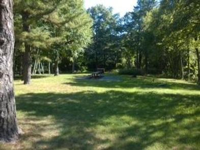
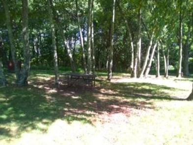
Dundo Group Campground is a beautiful campground located at milepost 83.7 along the Skyline Drive with the Appalachian Trail passing through the site. The southern end is a picnic area and the northern end is the campground with three reservable group campsites. All Dundo check-ins are at Loft Mountain Campground, mile 79.5. Check out or re-register by noon. Group camping fees are non-refundable and there are no discounts. Camping is limited to 14 consecutive nights per year.
Recreation
Dundo provides a great base camp for group activities with easy access to the Appalachian Trail, Doyles River and many other popular hikes in the South District.
Facilities
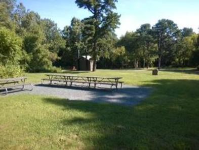
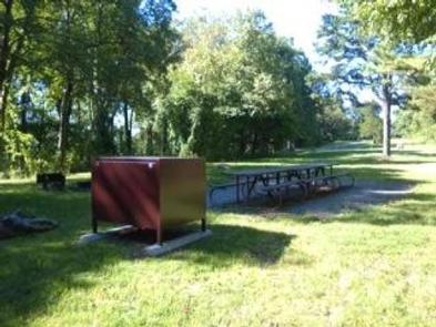
Campsites are equipped with picnic tables, food storage boxes, fire grates, and parking for up to five vehicles per site. Generators are prohibited. Your group must have a minimum of seven people and a maximum of twenty. Do not trench your tent or put nails in trees. Two vault toilet facilities are located at the campground/picnic area. Firewood, ice, groceries, laundry, pay phones, coin operated showers and camp store are available 3.7 miles north at the Loft Mountain Camp Store. These facilities are open May through October.
Natural Features
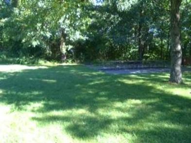
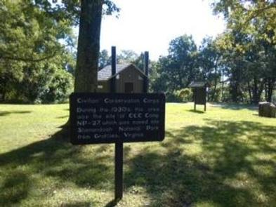
Dundo offers three large, grassy group tent sites shaded by native oaks and mature pines. It is illegal to approach, feed, frighten, or disturb wildlife. Hunting is prohibited. Law in national parks protects all resources such as wildflowers, plants, animals, and artifacts.
Nearby Attractions
Dundo is located at milepost 83.7 along the scenic Skyline Drive. The Loft Mountain Camp Store is located 3.7 miles north, at the Loft Mountain Campground (turn up the hill across from the Loft Mountain Wayside, the store is on the left). There are over 500 miles of trails located throughout the park. The closest visitor center is Byrd Visitor Center located at Milepost 51. On Friday and Saturday during the summer, park Interpretative staff schedules Ranger programs at the Loft Mountain Amphitheater.
Charges & Cancellations
Cancellations more than 48 hours in advance of arrival date only incur a $10 transaction fee. Within 48 hours, $10 and the first night’s fee are charged