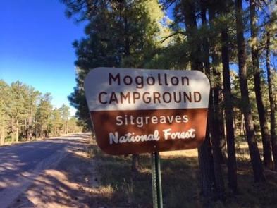
MOGOLLON CAMPGROUND, AZ Campground Reservation, Info, Images, Map, Directions

MOGOLLON CAMPGROUND, Arizona Campground Images, Info & Reservations

Listen

Directions

Located on Road 300 approximately 5 miles off of Highway 260.

Phone

928-535-9859

Activities

CAMPING, INTERPRETIVE PROGRAMS

Keywords

Related Link(s)

Rec Area Info & Images

Arizona State Road Conditions

Arizona State Tourism

Overview

Mogollon Campground, although not directly in the Woods Canyon Recreation area, sits just outside and is only two miles from the lake. For those who like spectacular views, this campground is one of the closest to the Mogollon Rim.

Recreation

Fishing and boating are available at Woods Canyon Lake which is approximately three miles from the campground on Road 105.

Facilities

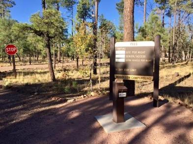
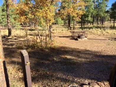
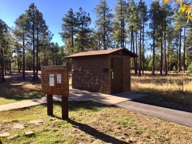
Mogollon Campground has 26 sites (of which sites 14 through 26 are available for advanced reservation). All sites are pull-outs and approximately 40 feet. Sites can accommodate tents, pop-up campers, trailers, and motorhomes. There are two loops which have 13 sites per loop. Each campsite offers a campfire ring, grill and picnic table. Additional amenities include accessible vault toilets, drinking water and trash service. A camp host is available at the site.

Natural Features

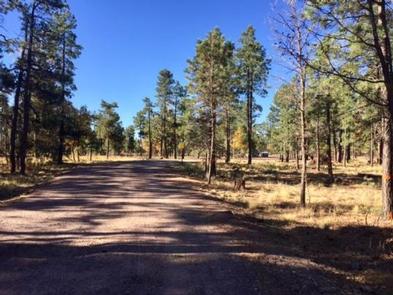
Mogollon Campground is surrounded by ponderosa pines. The road to Mogollon is a sandy road off of Road 300. The campground itself is also sandy and gravel.

Nearby Attractions

Some groceries are available at the Marina Store at Woods Canyon Lake which is approximately three miles from the campground. The store also offers boat and kayak rentals. Woods Canyon Lake is a great lake for fishing.

Reservation

More from CampingHiking.net:

CHERRY VALLEY, California Campground Images, Info & Reservations

Listen Directions Campground can be reached from Hwy 120 using Cherry Lake Road also known as Forest Road (FR) 1N07 or from Cottonwood Road also known as FR 1N04.  -Traveling from Hwy 120, go East from Groveland 13.8 miles turn left on Cherry Lake Road/1N07 for 23.5 miles where it

LITTLE MILL, Utah Campground Images, Info & Reservations

Listen Directions From Salt Lake City or Provo, take I-15 to the Alpine-Highland exit 284. Travel 8 miles east on Utah Highway 92 to the mouth of American Fork Canyon. Stay on 92 for 4 miles to the campground. Phone PLEASANT GROVE RANGER DISTRICT 801-785-3563 OR UTAH RECREATION COMPANY 385-273-1100

FURNACE CREEK, California Campground Images, Info & Reservations

Listen Directions Death Valley is in eastern California on the Nevada border, 130 miles west-northwest of Las Vegas, Nevada and 106 miles east of Lone Pine, California. Furnace Creek Campground is a half-mile north of Furnace Creek Visitor Center on State Highway 190. Phone 760-786-2441 Activities BIKING, HISTORIC & CULTURAL

SULOIA LAKE CABIN, Alaska Campground Images, Info & Reservations

Listen Directions Accessible generally from late April through mid November. Located 30 air miles northwest of Sitka on Chichagof Island (within West Chichagof-Yakobi Wilderness Area). Access by floatplane takes about 20 minutes from Sitka. For geographic features surrounding cabin, refer to USGS topographic map Sitka B-6. Phone 907-747-6671 Activities BOATING,