
Directions
From Vernal, Utah, travel north on U.S. Highway 191 for 26 miles.
From Manila, Utah, travel south on Utah Highway 44 for 28 miles to U.S. Highway 191 and travel 9 miles to the campground.
From Rock Springs, Wyoming, take I-80 west toward Green River about 6 miles to the junction with U.S. 191/Flaming Gorge Road. Take U.S. 191 south for about 83 miles, passing through Dutch John.
Phone
435-889-3000
Activities
BOATING, CAMPING, FISHING, HIKING, HUNTING, WATER SPORTS, SWIMMING SITE
Keywords
LODA,FLAMING GORGE,ASHLEY NF – FS,Flaming Gorge National Recreation Area
Related Link(s)
Overview
Lodgepole Campground is settled near beautiful Flaming Gorge Reservoir just 26 miles north of Vernal, UTAH, at an elevation of 8,000 feet. Visitors enjoy exploring local trails and day-tripping to the reservoir, only 10 miles away.
Recreation
Many campers make the short trip to beautiful Flaming Gorge Recreation Area for its world-class fishing for lake, brown and rainbow trout. Boating, water skiing, jet skiing, canoeing, kayaking, swimming and scuba diving are popular activities on the reservoir.
Cedar Springs Marina is less than 10 miles from the campground.
Facilities
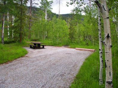
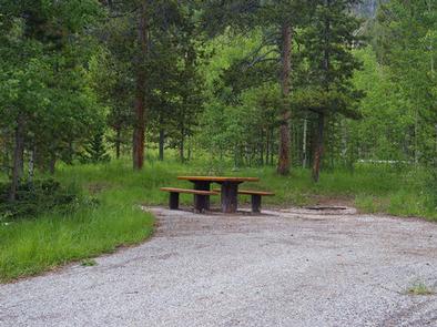
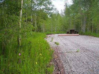
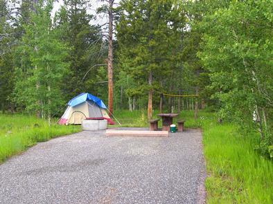
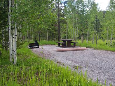
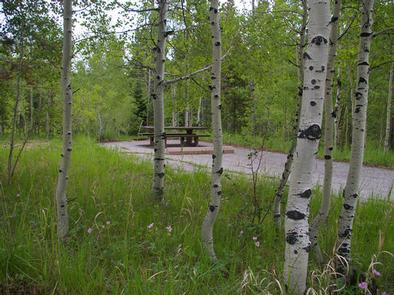
The campground contains several family sites each equipped with a picnic table and campfire ring. Flush toilets and drinking water are provided. Firewood is available for purchase from the host. Roads and parking spurs are paved.
Natural Features
A scenic aspen forest dotted with pines covers the campground, offering pleasant shade and pretty fall color. Summer wildflowers are abundant in this shady, secluded campground.
Nearby Attractions
Flaming Gorge Dam offers guided tours of the working hydroelectric plant and the dam, and the adjacent visitor center contains area history exhibits.
The Green River below the dam provides spectacular rafting opportunities. A trip down the river offers unique geology, outlaw history and Native American rock art.