CARTER LAKE, OR Campground Reservation, Info, Images, Map, Directions

CARTER LAKE, Oregon Campground Images, Info & Reservations

Directions

From Florence, travel south on Highway 101 for 11 miles. Carter Lake Campground entrance is on the west side of Highway 101.

Phone

541-271-6000

Activities

BOATING, CAMPING, FISHING, SWIMMING

Keywords

CARL,OREGON DUNES,SIUSLAW NF – FS

Related Link(s)

Rec Area Info & Images

Oregon State Tourism

Oregon State Road Conditions

Overview

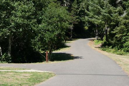
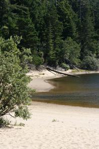
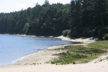
Carter Lake Campground is a family favorite in the Oregon Dunes Recreation Area. This campground is located on Carter Lake, perfect for fishing, swimming and boating. The Pacific coast is just a short drive away.

Recreation

Hike the Carter Dune Trail, which attracts campers and locals alike. Fishing for rainbow trout is a good way to pass the time, and canoeing and kayaking are excellent on Carter Lake.

The dunes region is famous for off-road vehicle riding trails, too.

Facilities

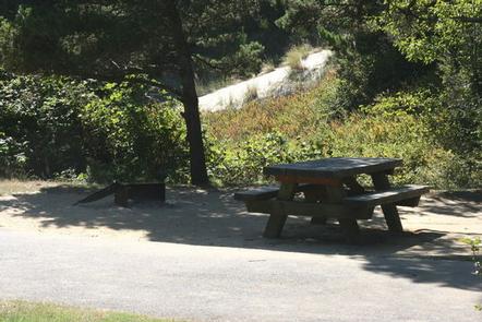
There are 23 total sites, 15 are reservable and 7 are first-come first-serve. Drinking water and flush toilets are available and each site has a campfire pit, picnic table, trash and recycling collection. Parking aprons are paved.

Natural Features

Campsites are nestled among shore pine, sitka spruce and Douglas fir, with hedges of rhododendron. Carter Lake spans 28 acres at an altitude of 100 feet. The campground is part of the Oregon Dunes National Recreation Area, known for its wind-sculpted sand dunes towering up to 500 feet above sea level.

Nearby Attractions

Explore the waterways of the region, including Oregon’s lovely Pacific Ocean, Tahkenitch Lake and Siltcoose Lake.

Reservation

More from CampingHiking.net:

MINERSVILLE CAMPGROUND, California Campground Images, Info & Reservations

Directions From Weaverville: take Highway 3 north for 15 miles. Turn right on Minersville/Bushtail Road for 1 mile. Phone 530-623-2121 Activities BOATING, CAMPING, FISHING, HIKING, WATER SPORTS, SWIMMING SITE Keywords Trinity Lake,Clair Engle Lake,Minersville Related Link(s) Rec Area Info & Images California State Road Conditions California State Tourism Forest Service

CAMP DICK, Colorado Campground Images, Info & Reservations

Directions From Denver, travel north on Interstate 25 north, to U.S. Highway 36 and continue west through Boulder, to Lyons. From Lyons, take Highway 7 for 12 miles to Highway 72, then continue south for four miles. Watch for signs for Peaceful Valley and Camp Dick Campgrounds. Turn west onto

LITTLE MILL, Utah Campground Images, Info & Reservations

Directions From Salt Lake City or Provo, take I-15 to the Alpine-Highland exit 284. Travel 8 miles east on Utah Highway 92 to the mouth of American Fork Canyon. Stay on 92 for 4 miles to the campground. Phone PLEASANT GROVE RANGER DISTRICT 801-785-3563 OR UTAH RECREATION COMPANY 385-273-1100 Activities

SILTCOOS SAND CAMPING, Oregon Campground Images, Info & Reservations

Directions From Florence Oregon, travel 7 miles south on Highway 101 to the Siltcoos Beach Access Road. Turn west on Siltcoos Beach Access Road and proceed 1 mile 1.5 miles to Driftwood II Campground on the right. The Sand Access is within the Campground. Phone 541-271-6000 Activities CAMPING, FISHING, HIKING,