
Directions
From Show Low, Arizona, take Highway 260 east for 60 miles to Highway 261. Take Highway 261 south for 20 miles to Forest Road 115 and follow it south for 1 mile.
Phone
928-735-7313
Activities
BOATING, CAMPING, FISHING
Keywords
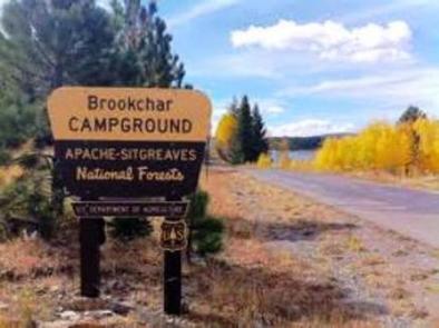
BROC,BIG LAKE,APACHE-SITGREAVES NF-FS
Related Link(s)
Overview
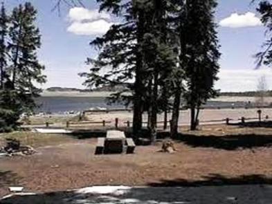
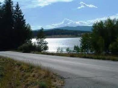
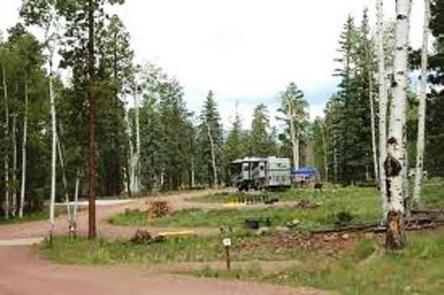
Brookchar Campground is tucked on the banks of Big Lake in the White Mountains of eastern Arizona. The campground is a small, tent-only facility comprised entirely of walk-in sites. Of the lake’s five campgrounds, Brookchar is nearest to the water. The stocked lake draws anglers, and boat rentals and a boat ramp make it easy for campers to enjoy the lake’s blue waters.
Recreation
Big Lake is one of Arizona’s top trout fishing lakes, with rainbow, cutthroat, brook and Apache trout being the most sought-after species. The recreation area is also popular for hiking, mountain biking, horseback riding, birding and wildlife viewing.
Facilities
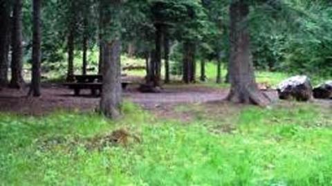
The facility is small, with 12 tent-only, walk-to campsites. Campfire rings and restrooms are provided. A campground host resides on-site for visitor assistance.
A dump station, store, firewood, gas, food and boat rentals are located a short, half-mile drive away, and showers are just 1 mile away.
Natural Features
The campground sits in the Apache-Sitgreaves National Forest at an elevation of 9,100 feet. The area is scenic, forested with ponderosa pine, fir, spruce and aspen, interspersed with high elevation meadows.
Summer temperatures are pleasant and cool, a nice respite from the heat of lower deserts. Visitors should come prepared for afternoon thunderstorms and cool nighttime temperatures.
Nearby Attractions
Several other lakes can be found in the surrounding area. Visitors can also explore endless vistas and take part in many outdoor activities in the surrounding Apache-Sitgreaves National Forest, which encompasses 2 million acres of magnificent mountain country in east-central Arizona and New Mexico.