

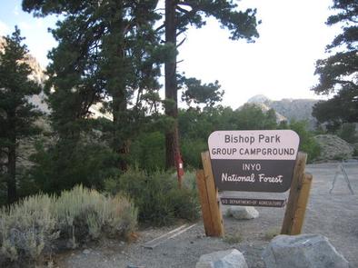
Directions
From Highway 395 in the center of Bishop, turn west on Line Street (Highway 168) west and drive 15 miles to the campground on the left.
Phone
760-935-4339
Activities
CAMPING, FISHING, HIKING, HORSEBACK RIDING, WILDLIFE VIEWING
Keywords
BISH,INYO NF – FS
Related Link(s)
California State Road Conditions
Overview
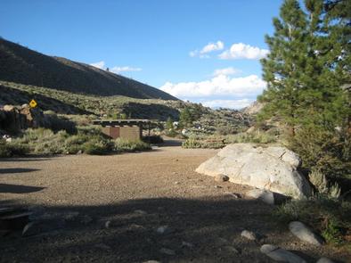
Families, friends and special interest groups enjoy Bishop Park for its access to prime fishing and its serene setting on Bishop Creek. The group campground one of the most popular facilities in the Bishop Creek Area.
The campground is located near Inyo and John Muir Wilderness areas, with access to several trailheads, glaciers and lakes.
Recreation
Bishop Park is an ideal setting for horseback riding, wildlife viewing, hiking and fishing.
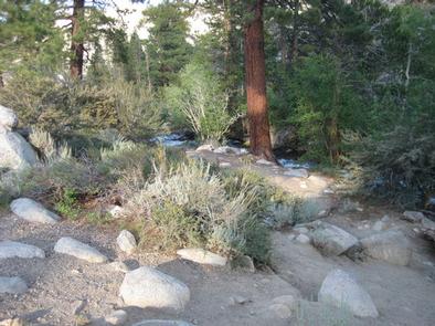
Tent sites back onto the creek, allowing anglers to fish from the comfort of their campsite. The stocked stream contains rainbow, brown, brook and Alpers trout. Similar fishing opportunities can be found just upstream in Intake Lake II.
Facilities
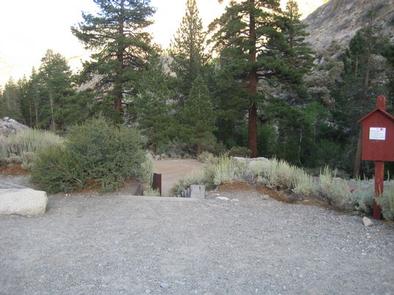
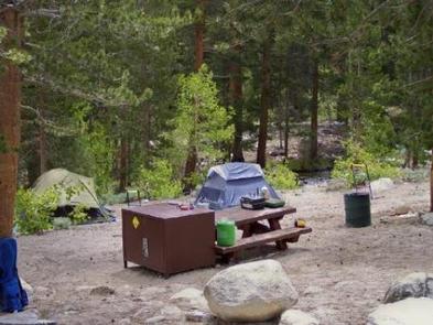
Bishop Park’s level, dirt-surfaced tent-only campsites border the creek. Two bear-proof food storage lockers are provided, as are flush toilets and drinking water. No electric hookups are available and RVs are not allowed.
Natural Features
Bishop Park, in the Inyo National Forest, extends along the North Fork of Bishop Creek. It is shaded by aspens, cottonwoods and Jeffrey and lodgepole pines.
The Inyo National Forest is home to many natural wonders, including Mt. Whitney, Mono Lake, Mammoth Lakes Basin and the Ancient Bristlecone Pine Forest.
Nearby Attractions
A nearby resort provides limited groceries, fishing supplies and Internet access.