
Directions
Travel east on I10 (Highway 330) to Running Springs. Turn onto Highway 18 and continue to Big Bear Lake Dam but do not cross the dam. Highway 18 becomes Highway 38. Continue to the Fawnskin Fire Station and turn left onto Rim of the World Drive (Forest Route 3N14) and drive 2.5 miles to the campground. More than a mile of the road is rough, dirt terrain that may be impassable for large RVs or trailers.
Phone
909-382-2790
Activities
BIKING, BOATING, CAMPING, FISHING, HIKING, FIRE LOOKOUTS/CABINS OVERNIGHT, SWIMMING SITE
Keywords
HANN,SAN BERNARDINO NF – FS
Related Link(s)
California State Road Conditions
Overview
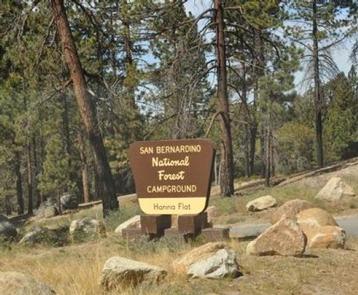
Hanna Flat Campground is a family-friendly facility nestled in the pine-covered mountains of Southern California. It offers access to a variety of outdoor recreational opportunities and a beautiful location to enjoy nature.
Recreation
A number of hiking and biking trails are nearby, including 3.5-mile Gray’s Peak Trail that connects to Hanna Flat Trail, and 10 miles of unmarked trails that lead to Coxcomb Creek.
Fishing and boating at nearby Big Bear Lake are popular activities. Anglers can look forward to a catch of trout, bluegill, crappie, catfish and largemouth bass. Because of cold water temperatures and the presence of underwater obstacles near the shorelines, swimming at the lake is often discouraged.
Facilities
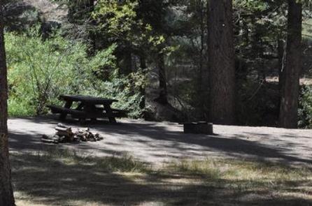
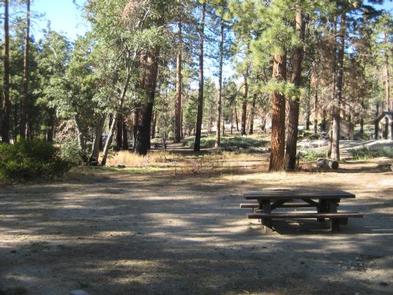
The campground offers over 80 single-family sites for tent or RV camping. Some sites are available on a first-come, first-served basis. Each site is equipped with a table and campfire ring with grill.
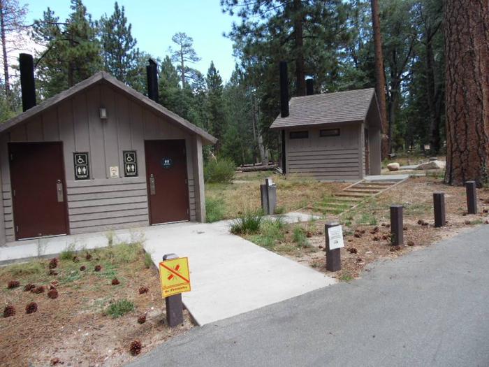
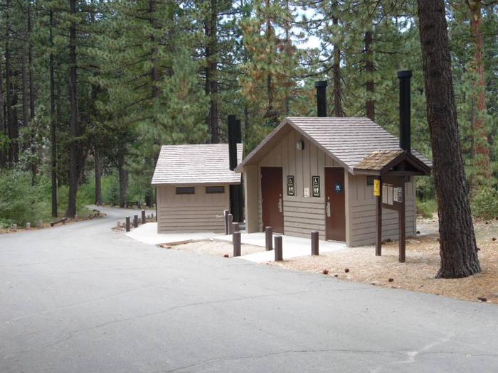
Vault toilets and trash collection are provided, but no hookups are available. A dump station is available at nearby Serrano Campground.
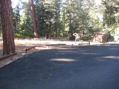
A portion of the road to the campground is rough dirt, but within the campground, the roads are paved.
Natural Features
The campground is located off the Rim of the World Scenic Byway in the San Bernardino Mountains. A dense pine forest covers the area, where portions of the campground are heavily shaded. Some sites offer more privacy due to thick shrub growth. The area is home to a variety of wildlife and birds.
Nearby Attractions
The town of Fawnskin is less than 3 miles from the campground, offering groceries, restaurants and fuel.