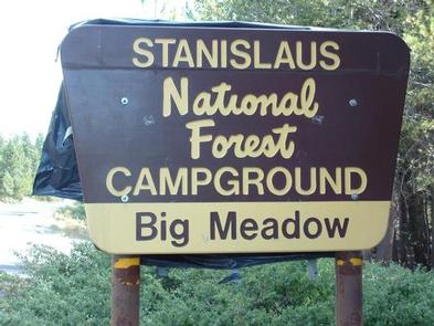
BIG MEADOW STANISLAUS NATL FS, CA Campground Reservation, Info, Images, Map, Directions

BIG MEADOW STANISLAUS NATL FS, California Campground Images, Info & Reservations

Directions

From Arnold, California, take Highway 4 east for 25 miles to the Big Meadow Campground.

Phone

209-795-1381

Activities

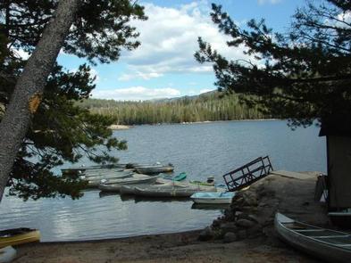
BOATING, CAMPING, VISITOR CENTER, SWIMMING SITE

Keywords

BIGD,BIG MEADOW Stanislaus Nat l FS,STANISLAUS NF -FS

Related Link(s)

Rec Area Info & Images

California State Road Conditions

California State Tourism

Overview

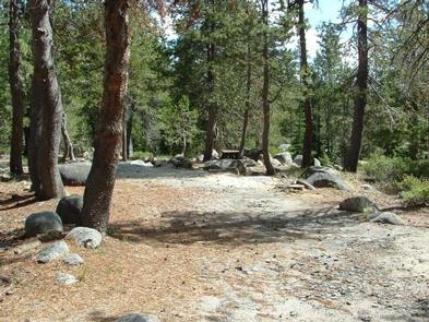
Big Meadow Campground lies at about 6,400 feet elevation on the Stanislaus National Forest. It is located 21 miles east of Arnold, California. Breathtaking views abound, and wildlife viewing opportunities include marmots, squirrels, coyotes and deer.

Recreation

Picnicking, birding and hiking are popular pastimes at Big Meadow.

Lake Alpine and Spicer Meadow Reservoir, both just a 15 minute drive away, offer fishing and other water activities.

Facilities

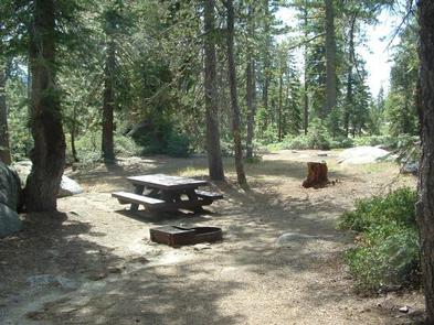
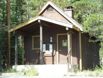
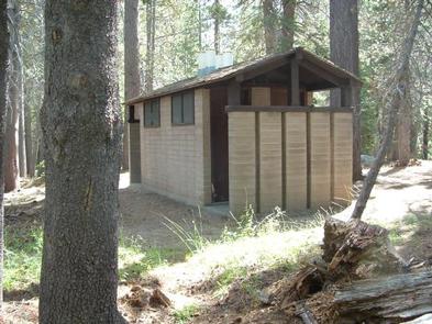
Big Meadow has 65 individual camping units and a group site. The group camp, easily accessible from Highway 4, can accommodate a maximum of 50 guests and 20 vehicles. Vault toilets and drinking water are among the conveniences found here. Pets are allowed.

Natural Features

Situated in the central Sierra Nevada Mountains, Stanislaus National Forest is sandwiched between the well-known destinations, Lake Tahoe and Yosemite. It boasts gorgeous views of snow-capped mountain peaks and California’s Great Central Valley.

Reservation

More from CampingHiking.net:

WILLOW PRAIRIE CABIN, Oregon Campground Images, Info & Reservations

Directions From Butte Falls, take the Butte Falls-Fish Lake Highway (County Road 821) approximately 17 miles southeast to Forest Service Road 3738. Turn west on Forest Service Road 3738 and drive 1.3 miles to the intersection of Forest Service Road 3735. Continue west across the intersection, off the main road,

CRABTREE COVE, Missouri Campground Images, Info & Reservations

Directions From Stockton, Missouri, take State Highway 32 east for 3.5 miles. Turn right onto the access road and follow signs into the park area. Phone 417-276-6799 Activities BOATING, CAMPING, FISHING, HIKING, WILDLIFE VIEWING Keywords CRAT,STOCKTON LAKE,STOCKTON LAKE Related Link(s) Rec Area Info & Images Missouri State Tourism Missouri State

Howell Run Picnic Area, West Virginia Campground Images, Info & Reservations

Directions From Cumberland, MD, take US 220 south to US 50W, go west to WV 42N, go north to WV 46E. Follow the signs to the Howell Run Picnic Area. Phone 304 355-2346 Activities BOATING, CAMPING, FISHING, HIKING, PICNICKING, SWIMMING SITE, OTHER RECREATION CONCESSION SITE Keywords Jennings Randolph Lake,Picnic Area

WASHUNGA BAY, Oklahoma Campground Images, Info & Reservations

Directions From Kaw City, Oklahoma, travel nearly 3 miles east on Highway 11, turn north onto County Road. Follow signs for about 5 miles to the campground. Phone 580-762-5611 Activities BOATING, CAMPING, FISHING, WILDLIFE VIEWING Keywords WABA,KAW LAKE,KAW LAKE Related Link(s) Rec Area Info & Images Oklahoma State Road Conditions

SPENCER BENCH CABIN, Alaska Campground Images, Info & Reservations

Directions To catch the train (reservations required) into the Spencer Whistle Stop, drive south from Anchorage on the Seward Highway to the Portage Rail Depot (Milepost 80) and check in at the Train station. In the winter months there are 2 snowmachine parking lots at Seward Highway Milepost 78 where