
Directions
From Tucson, Arizona, take Catalina Highway/Arizona Route 39 northeast. The campground is located between mile markers 17 and 18 on the Catalina Highway.
Phone
520-576-1477
Activities
CAMPING, FISHING, DAY USE AREA
Keywords
ROSE,ROSE CANYON REC AREA,ROSE CANYON LAKE,ROSE PARK,ROSE CANYON PARK,CORONADO NF – FS
Related Link(s)
Overview
Rose Canyon Campground is just 17 miles northeast of Tucson, Arizona, off the Catalina Highway Scenic Drive near the summit of Mt. Lemmon. This area is popular for day use as well as overnight camping. With a high elevation, forested setting, two group picnic areas and opportunities for hiking, wildlife viewing and fishing, Rose Canyon offers a great summer respite from the city.
Recreation
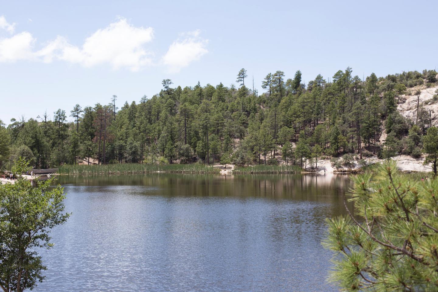
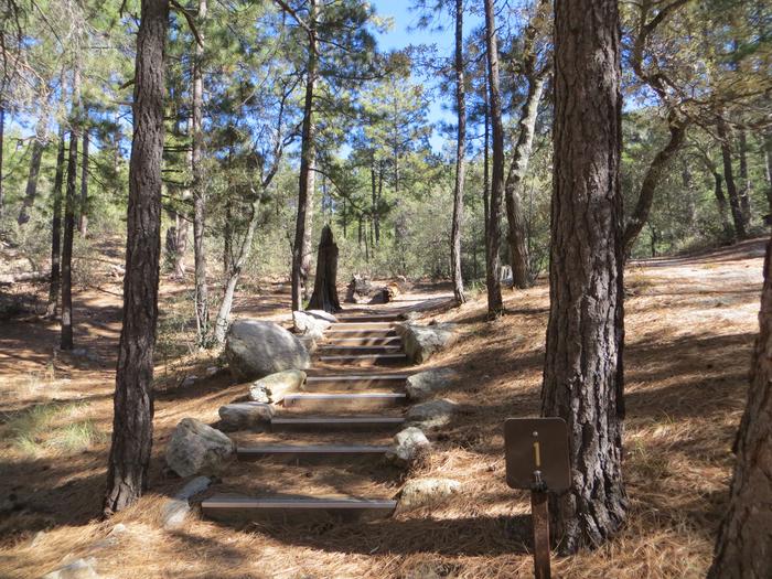
The lake is sheltered by trees and offers a pleasant setting for a walk in the woods, relaxing on the shore or spending an afternoon fishing for stocked trout. A one-mile trail around the lake is convenient for anglers and hikers. The trail is accessible from the lower parking area to a floating dock near a dam.
The surrounding national forest boasts a variety of hiking and mountain biking trails, including several that traverse the 9,157-foot Mt. Lemmon.
Facilities
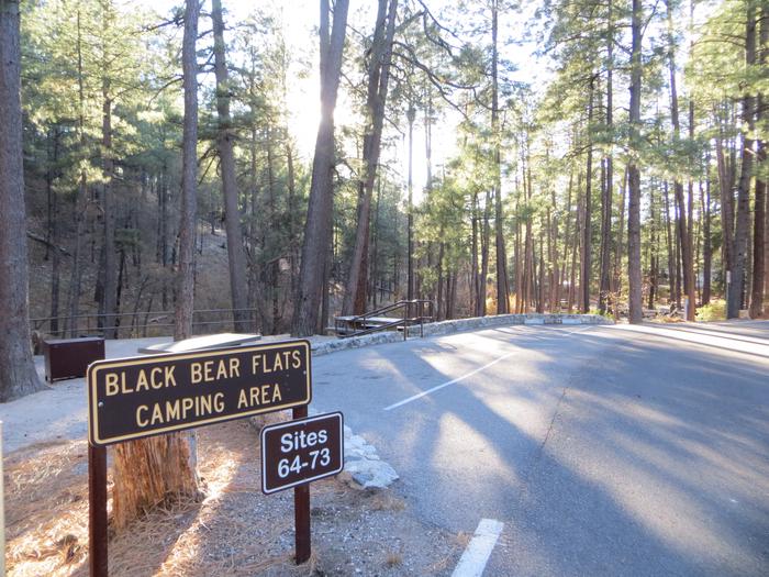
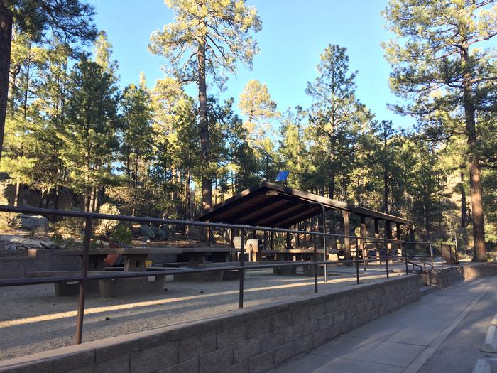
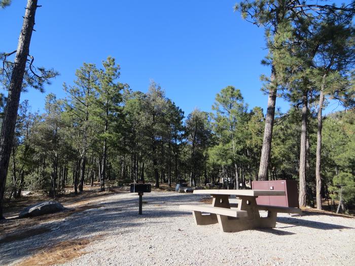
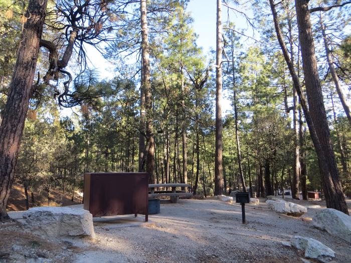
The campground offers spacious, single-family campsites, as well as two group day use areas with picnic shelters, one of which can be reserved for up to 120 guests. The facility is equipped with picnic tables, campfire rings with grills and vault toilets.
Natural Features
The campground sits high on the slopes of the Santa Catalina Mountains, at an elevation of 7,000 feet. Because of its elevation, it can be much cooler than the lower-elevation campgrounds in the area. The campsites are spacious and spread out among stands of large ponderosa pines and clusters of Gambel oak. During the summer rainy season, Rose Creek meanders through the area to the six-acre Rose Canyon Lake at the lower end of the campground.
The Coronado National Forest covers 1.78 million acres of southeastern Arizona and southwestern New Mexico. Elevations range from 3,000 to 10,720 feet in 12 widely scattered mountain ranges, or "sky islands," that rise dramatically from the desert floor, supporting biologically diverse plant communities.
Nearby Attractions
Catalina Highway, also known as General Hitchcock Highway and Sky Island Scenic Byway, is the only paved road that leads to the upper reaches of Mt. Lemmon and the Santa Catalina Range. It is one of the most scenic highways in the southwest and is a popular day trip.
Other notable attractions include Saguaro National Park, Sabino Canyon and Colossal Cave.