
Directions
From Payson, Arizona, go north for 1 mile to the junction of Highway 87 (Beeline Highway) and Forest Road 199 (Houston Mesa Road). Turn right (east) onto Forest Road 199 for .10 miles. The campground is on the north side of Houston Mesa Road.
Phone
928-468-7135
Activities
CAMPING, HIKING, PICNICKING
Keywords
HOUM,PAYSON,TONTO NF – FS
Related Link(s)
Overview
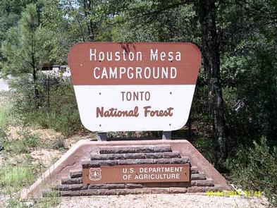
Houston Mesa Campground is located in the forested northern section of Tonto National Forest, just one mile north of Payson, Arizona and less than two hours from Phoenix.
With family, equestrian and tent-only campsites, this campground can accommodate a range of visitors and offers plenty of ways to enjoy the outdoors, including several miles of hiking and horseback riding trails nearby.
As the fifth largest forest in the United States, the Tonto National Forest is one of the most-visited “urban” forests in the United States (approximately 5.8 million visitors annually). Its boundaries are Phoenix to the south, the Mogollon Rim to the north and the San Carlos and Fort Apache Indian reservations to the east.
Recreation
Many visitors come to Houston Mesa to horseback ride, hike, camp and picnic. Houston Mesa Loop Trail is a 9-mile round trip through a pinyon and juniper woodland and can be accessed from the horse camping area. The Houston Mesa Interpretive Trail is a 0.5-mile self-guided trail.
Facilities
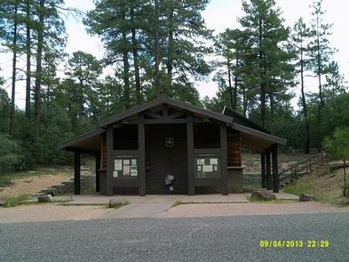
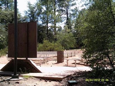
Houston Mesa has 74 campsites, including 29 equestrian sites for campers with horses or mules, and 17 tent-only sites for those who want a quieter experience. There are several amenities to make campers feel at home, including showers (coin-operated) and flush toilets. All of the sites are accessible.
The horse camping section (Mule Deer Loop) is across the street from the main campground and features 29 individual sites with tables and grills. Corrals are also available. Campers who reserve these sites must have horses or mules.
Natural Features
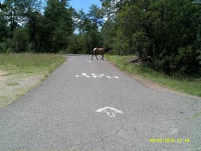
The campground is located at an elevation of 5,200 ft. in a mixed forest and shrub area, with spacious campsites offering both sun and shade. Winters are pleasant and cool with cold nighttime temperatures, while summers are warm and sunny, providing a nice getaway from the hotter deserts around Phoenix. Hawks, eagles, javelina, deer, fox, skunk and coyote live in the area.
Nearby Attractions
Campers who make the quick trip to the town of Payson, one mile south, will find restaurants, shopping and other conveniences.
Scenic driving and outdoor recreation abound in the surrounding Tonto National Forest, which embraces almost 3 million acres of rugged and spectacularly beautiful country, ranging from saguaro cactus-studded desert to pine-forested mountains beneath the Mogollon Rim.