RATTLER FORD GROUP CAMPGROUND, NC Campground Reservation, Info, Images, Map, Directions

RATTLER FORD GROUP CAMPGROUND, North Carolina Campground Images, Info & Reservations

Directions

From Robbinsville, North Carolina, take Highway 129 north to 143 West/Massey Branch Road. Pass the Cheoah Ranger District office and continue to the stop sign. Turn right to continue on 143 West for about 7 miles. Rattler Ford Group Campground is on the left.

Phone

828-479-6431

Activities

CAMPING, FISHING, HIKING, WILDLIFE VIEWING, BIRDING, WATER ACCESS, BACKPACKING

Keywords

RTLF,NFs IN NORTH CAROLINA – FS

Related Link(s)

Rec Area Info & Images

North Carolina State Tourism

North Carolina State Road Conditions

Overview

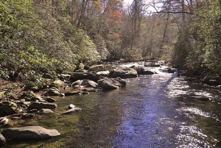
Rattler Ford Group Campground sits near the swift-moving Santeetlah Creek in the Nantahala National Forest. Groups of up to 25 guests can enjoy the creek, which is popular for fly fishing, as well as nearby Lake Santeetlah, which provides countless water sports and activities.

Recreation

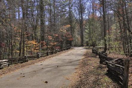
The campground is located about 2.5 miles from the Avey Branch boat ramp at Lake Santeetlah, which provides visitors access to all types of water-related activities, including fishing, boating, and canoeing. Horseshoe pits and volleyball courts are available within the campground. Visitors can also enjoy a variety of hiking trails and scenic drives in the area.

Facilities

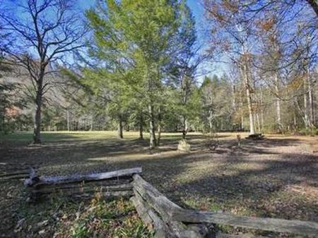
The campground offers four sites, each with varying facilities, but all able to accommodate several tents and up to 25 guests. Multiple tables are available at each site, as well as lantern posts and campfire pits. Each site also provides an oversized grill. Flush toilets and drinking water are provided at the campground, as well as hot showers. Some of the sites are situated near the creek.

Natural Features

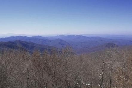
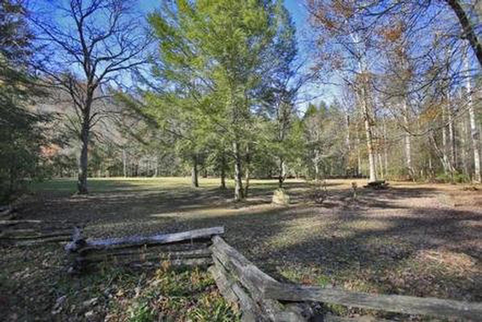
Large trees and thick forests provide moderate shade for the campground, while vast meadows also allow for sunshine and open play. Nantahala is a Cherokee word meaning “land of the noonday sun,” which is appropriate, as the sun only reaches the deep gorges of the western North Carolina mountains and valleys at midday.

Nearby Attractions

The entrance to Joyce Kilmer-Slickrock Wilderness, which contains nearly 17,000 acres, and Joyce Kilmer Memorial Forest, containing nearly 6,000 acres of old-growth forest, is located approximately 1/4 mile from the campground.

Reservation

More from CampingHiking.net:

LEDGEFORK, Utah Campground Images, Info & Reservations

Directions From Salt Lake City: From I 15, take I 80E past Park City to either Hwy 189 or Wanship. On 189, travel SE to Kearns Blvd/SR 248. Continue east on SR 248 to Browns Canyon Rd. Travel E/NE on Browns Canyon until it connects with SR 32 just north

ANTONE CABIN, Montana Campground Images, Info & Reservations

Directions From Dillon, travel about 40 miles southeast on Forest Road 202 (Blacktail Creek Road), to Antone Station turnoff. Turn north onto Forest Road 325 and continue about 6 miles to the cabin. During winter months, snowmobiles may be required for the majority of the drive, depending on conditions. Call

CLEARWATER LAKE REC AREA, Florida Campground Images, Info & Reservations

Directions From the intersection of Florida Highways 19 and 42, go east on Highway 42 toward Paisley. Drive approximately 6 miles and turn left at the entrance to Clearwater Lake Recreation Area. Phone 352-669-0078 Activities BIKING, BOATING, CAMPING, INTERPRETIVE PROGRAMS, FISHING, HIKING, VISITOR CENTER, SWIMMING SITE, MOUNTAIN BIKING, KAYAKING, CANOEING

DRY GULCH, California Campground Images, Info & Reservations

Directions From Highway 140, turn on to Foresta Road. Landmarks include Red Bud Picnic Area and a National Park Service warehouse. After bridge, turn left onto the spur road. Immediately turn left onto Incline Road. Continue 1.3 miles to the facility. Phone 559-642-3212 Activities CAMPING Keywords DRYG,EL PORTAL,MERCED RIVER,SIERRA NF

MONA, Oregon Campground Images, Info & Reservations

Directions Located 51 miles east of Eugene, OR. Follow Hwy 126 to the east, take a left turn on Forest Road 15 at Blue River Reservoir turn off. Follow Blue River Reservoir RD approximately 4 miles, take left turn across bridge to access campground. The campground entrance is on the

LAKE THREE, Wisconsin Campground Images, Info & Reservations

Directions 34412 Mineral Lake Rd. (FR 198) From Mellen, Wisconsin; Take County Highway GG west for about 8 miles. Turn right onto Forest Service Road 187/Mineral Lake Road and continue for 3 miles to the intersection with Forest Service Road 198/Pine Stump Corner. Turn right and continue less than a