Directions
The South Bighorn/Red Wall Back Country Byway begins 13 miles northwest of Casper at the junction of U.S. Highway 20/26 and Natrona Country Road 125. The byway follows the 33-mile Stock Driveway to Buffalo Creek and the Red Wall. After retracing the steps of early settlers who moved cattle and sheep to high mountain pastures, the byway follows the spine of the southern end of the Big Horn Mountains via County Road 109 before joing County Road 105 along the scenic Red Wall about 22 miles north of U.S. Highway 20/26 at Waltman, Wyo.
Phone
307-261-7600
Activities
AUTO TOURING, BIKING, CAMPING, FISHING, HIKING, HORSEBACK RIDING, HUNTING, WILDLIFE VIEWING, PHOTOGRAPHY
Camping Reservations
Reserve your campsite at these camping areas:
Hiking Trails
Looking for nice hiking areas to take a hike? Choose from these scenic hiking trails:
Related Link(s)
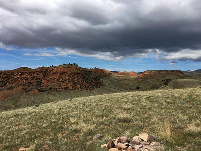
Tracing old livestock trails through Wyoming, the South Big Horn/Red Wall Back Country Byway will take you into an open range still used by modern ranchers. As you drive along the gravel road, consider the area’s pioneer history, admire the rock Red Wall, and come away with a newfound respect for Wyoming’s peaceful solitude.
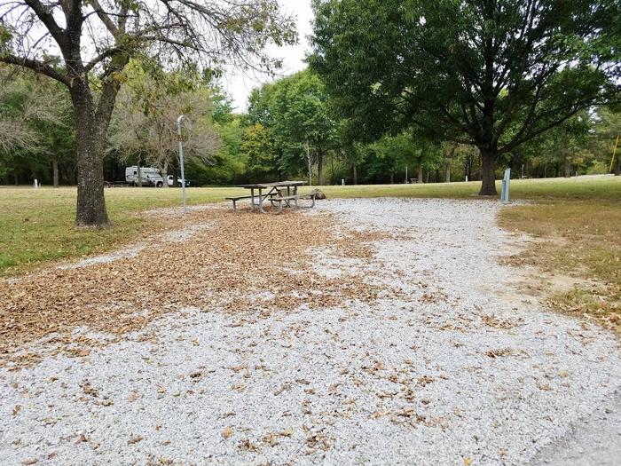
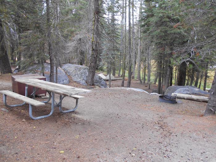
In addition to sites such as the Graves Springs and Buffalo Creek campgrounds, access to the Middle Fork of the Powder River, Buffalo Creek, and the Arminto/Waltman area, the byway also offers access to connecting roads leading to additional exciting places, including the Big Horn National Forest.

