WATAUGA POINT RECREATION AREA, TENNESSEE Campground Reservation, Info, Images, Map, Directions

WATAUGA POINT RECREATION AREA, Tennessee Campground Images, Info & Reservations

Directions

From Elizabethton, take US 19E/321 south for five miles to Hampton. Turn left on US 321/TN 67 south for six miles, then turn left into Watauga Point. 

Phone

423-735-1500

Activities

BOATING, FISHING, HIKING, KAYAKING, CANOEING, STAR GAZING, NON-MOTORIZED BOATING, WATER ACCESS, SCENIC DRIVE

Keywords

WATAUGA POINT RECREATION AREA PAVILION AND SHADY AREA PICNIC AREA

Related Link(s)

Rec Area Info & Images

Overview

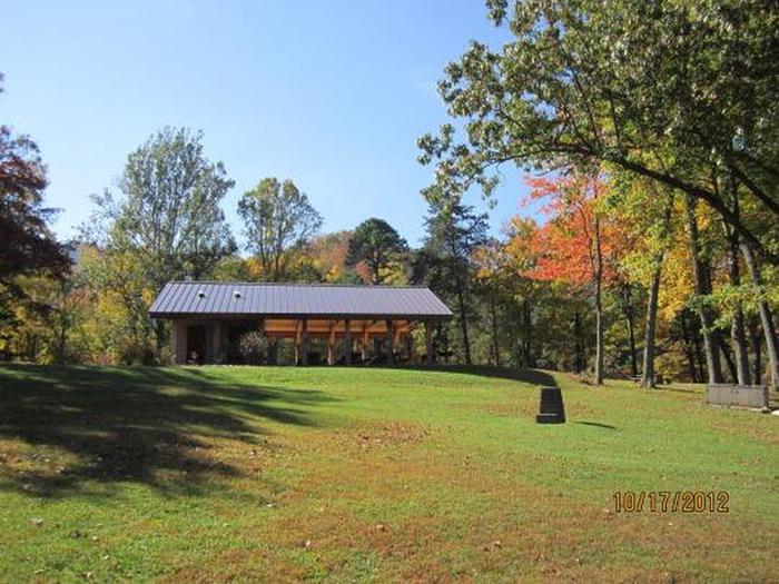
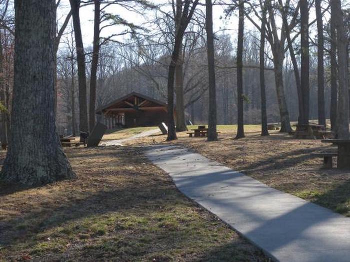
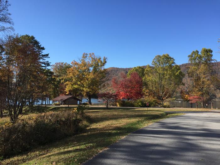
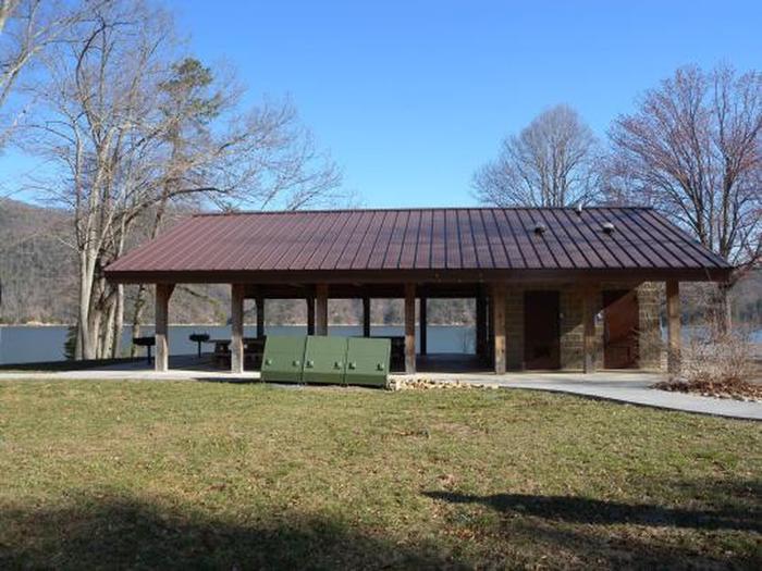
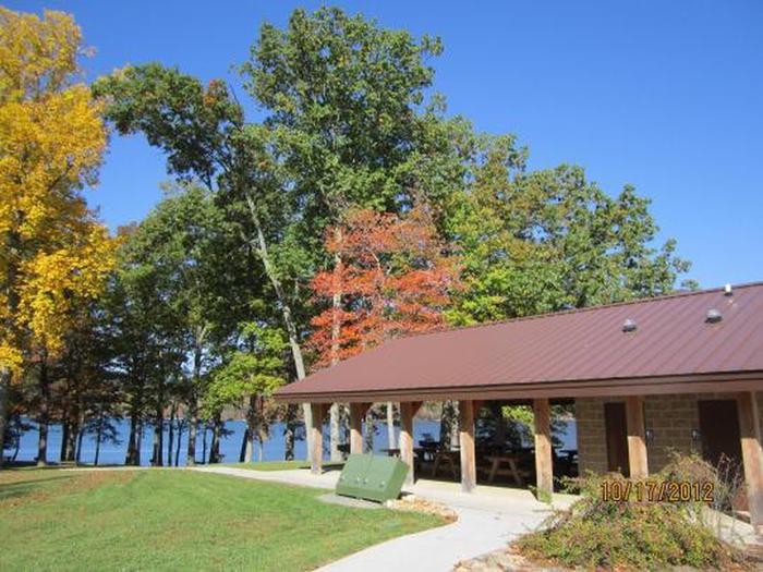
Watauga Point Recreation Area is located on the southern shore of Watauga Lake in Carter County. Large shade trees scattered throughout grassy areas provide a park setting for picnicking and sunbathing. In addition to picnic facilities, there is a lake and a gravel trail that loops through the nearby forest. Flush toilets, sinks, and drinking fountain are turned off and winterized for the season.  

Recreation

Boaters, anglers, and picnickers all enjoy Watauga Point. There is a wooded trail on site, as well.

Facilities

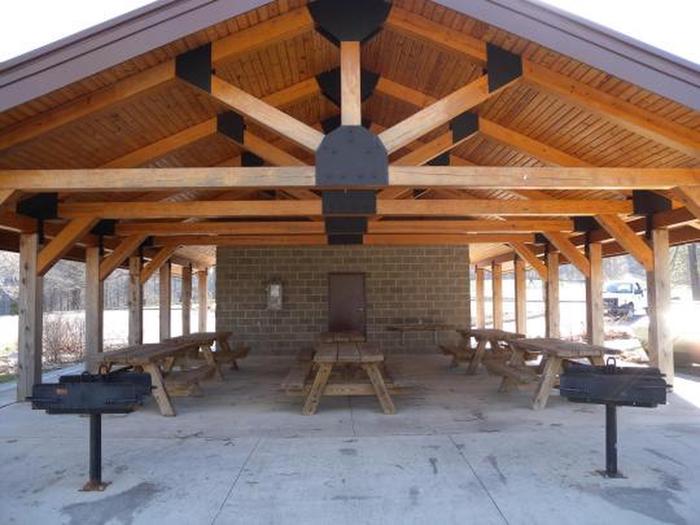
Watauga Point Recreation Area has one pavilion with accessible flush toilets. There are six picnic tables and two large grills at the pavilion. The shady area has five picnic tables and two grills. There is electricity at the pavilion.

Natural Features

At more than 1,900 feet in elevation, Watauga is the highest reservoir in Tennessee. This scenic 6,400-acre reservoir is managed for flood management, power generation, aquatic ecology and recreation. Watauga Point overlooks the reservoir and the Big Laurel Branch Wilderness Area on the opposite shore. 

Nearby Attractions

Both water-based and land-based recreation activities abound near Watauga Point Recreation Area. Forest Service facilities within three miles include Cardens Bluff Campground, Rat Branch Boat Ramp, and Pond Mountain Shooting Range.

Reservation

More from CampingHiking.net:

CAMPTON CAMPGROUND, New Hampshire Campground Images, Info & Reservations

Directions From Highway 93 in central New Hampshire, take exit 28 and follow Highway 49 (Mad River Road) east for 2 miles. Phone 603-536-6100 Activities CAMPING, INTERPRETIVE PROGRAMS Keywords CAMP,WHITE MOUNTAIN NF -FS Related Link(s) Rec Area Info & Images Forest Service Concessionaire New Hampshire State Tourism New Hampshire State

TAMARACK CABIN, Oregon Campground Images, Info & Reservations

Directions From Lexington, OR, take Highway 74/207 east to Heppner. Continue south, on Highway 207. At the junction in Heppner, bear right to continue south on Highway 207 for 39 miles through Heppner, Ruggs, Hardman and past Anson Wright County Park to the junction of Highway 207 and Forest Road

ISAAC CREEK, Alabama Campground Images, Info & Reservations

Directions From Monroeville, Alabama, take State Route 41 north for 8 miles. Turn west onto County Road 17 and follow signs into the campground. Phone 251-282-4254 Activities BIKING, BOATING, CAMPING, FISHING, HIKING, HUNTING, WATER SPORTS Keywords ISAA,CLAIBORNE LAKE,ALABAMA RIVERS,ALABAMA RIV. – LAKE Related Link(s) Rec Area Info & Images Alabama

GOOSE MEADOWS, California Campground Images, Info & Reservations

Directions From Truckee, Calif., take Highway 89 south for 5 miles to the campground. Phone (530)587-3558. FOR RESERVATIONS, PLEASE CALL: 1 (877) 444-6777. Activities BIKING, CAMPING, FISHING, HIKING, SWIMMING, WATER ACCESS Keywords GOOM,TAHOE NF – FS Related Link(s) Rec Area Info & Images California State Road Conditions California State Tourism