Directions
From Denver, travel southwest on Highway 285. Turn south on Jefferson County Road 126 and travel 15 miles. Turn right on Forest Road 550 and drive 5 miles to the campground.
Phone
(303) 275-5610
Activities
BIKING, CAMPING, FISHING, HIKING
Keywords
BUF1,RED SKIN,PIKE AND SAN ISABEL NF- FS
Related Link(s)
Colorado State Road Conditions
Overview
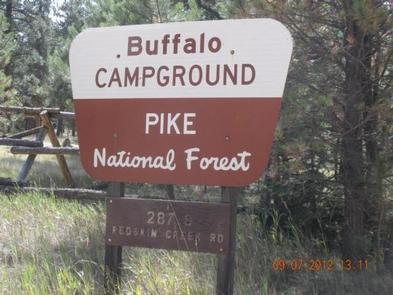
Buffalo Campground is one of two facilities within the Buffalo Creek Recreation Area, about an hour’s drive southwest of Denver, Colorado. Visitors enjoy a variety of recreational opportunities, including hiking, mountain biking and trout fishing.
Recreation
The Buffalo Creek Recreation Area is home to a 40-mile trail system most popular with mountain bikers, but hikers and horseback riders enjoy the area as well. Several trailheads are within walking distance of the campground. The Lost Creek Wilderness Area can be accessed via the Colorado Trail, which stretches nearly 500 miles from Denver to Durango.
Buffalo Creek is a popular fishing stream for brook trout.
Facilities
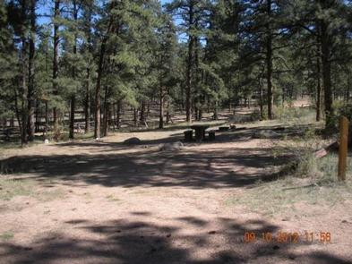
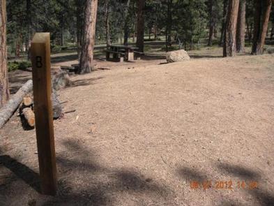
The campground offers single-family sites, some of which are designated for tent camping only. Each site is equipped with accessible picnic tables and campfire rings with grills. Vault toilets are provided. No hookups are available.
Natural Features
The campground is situated near Buffalo Creek at an elevation of 7,400 feet in the Front Range of the Rocky Mountains. Summer temperatures are mild and range from 75-80 degrees during the day to 55-65 degrees at night.
Nearby Attractions
The drive along County Road 126 southwest from Pine Junction affords magnificent views of the valleys below. Pikes Peak, at 14,110 feet, can be seen in the distance and other prominent rock formations present themselves throughout the scenic drive.


