
Directions
Drive to Pinedale, Arizona, on State Highway 260, approximately 14 miles northwest of Show Low. Turn south on Forest Road 130 and continue approximately 2.3 miles to Junction 130A. Turn right to the group site, following the signs.
Phone
928-368-2100
Activities
BIKING, CAMPING, HIKING
Keywords
LEWI,APACHE-SITGREAVES NF-FS
Related Link(s)
Overview
Lewis Canyon is a large single-group campsite located in the scenic White Mountains region of eastern Arizona. With several amenities and activities, including hiking and horseshoes, the facility is great for family gatherings and other large groups.
Recreation
A variety of recreation opportunities are available from the campground, including hiking, a horseshoe pit, a baseball field and access to the beautiful and extensive White Mountain Trail System for hiking and mountain biking. Numerous Forest Service Roads nearby can accomodate OHV enthusiasts on a variety of terrain.
Facilities
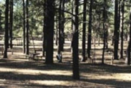
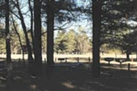
Lewis Canyon can accommodate up to 150 guests. The camping area is secluded, and is spaced around a large loop for the group to spread out. Vault toilets and a picnic area are provided.
Natural Features
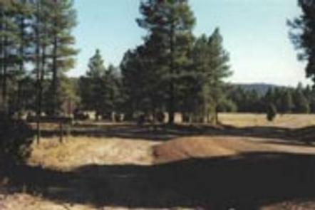
Lewis Canyon Campground is located in a beautiful ponderosa pine setting with a large open field nearby. It sits at an elevation of approximately 6,600 feet in the Sitgreaves National Forest. Wildlife including turkey, elk and mule deer are often seen nearby.
Summer temperatures can be very pleasant because of the elevation. However, the summer monsoon season often brings afternoon thunderstorms from late June through August. Visitors should come prepared for rain and cool nighttime temperatures.
Nearby Attractions
Visitors can explore vistas and take part in many outdoor activities in the surrounding Apache-Sitgreaves National Forest, which encompasses 2 million acres of magnificent mountain country in east-central Arizona and New Mexico.