

Directions
From Vernal, Utah, take U.S. 191 north for 54 miles to Dutch John. Continue north for 8 miles, then turn west onto Forest Road 145 and travel 4 miles to the campground.
From Manila, Utah, take Highway 44 for 28 miles. Turn left on U.S. 191 and go north for 9 miles to Dutch John. Continue north for 8 miles, then turn west onto Forest Road 145 and travel 4 miles to the campground.
From Rock Springs, Wyoming, take I-80 west toward Green River about 6 miles to the junction with U.S. 191/Flaming Gorge Road. Take U.S. 191 south about 52 miles, then turn west onto Forest Road 145 and travel 4 miles to the campground.
Phone
435-889-3000
Activities
BOATING, CAMPING, FISHING, WATER SPORTS, SWIMMING SITE
Keywords
ANTF,ANTELOPE,FLAT,ANTELOPE FLAT,FLAMING GORGE,ASHLEY NF – FS,Flaming Gorge National Recreation Area
Related Link(s)
Overview
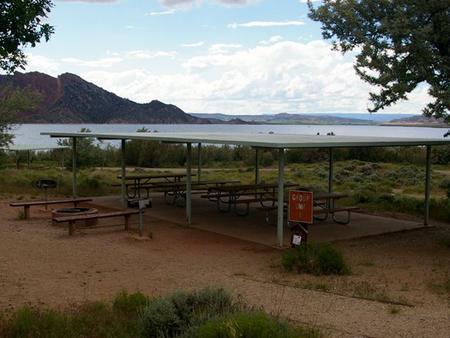
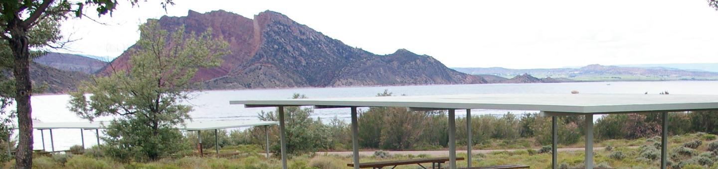
Antelope Flat Campground lies on the shores of the beautiful Flaming Gorge Reservoir at an elevation of 6,000 feet, on the Ashley National Forest within the Flaming Gorge National Recreation Area. Visitors love Antelope Flat for its easy access to boating, water skiing and fishing.
Recreation
Flaming Gorge National Recreation Area is known not only for its beautiful red cliffs, but also for its world-class fishing for lake, brown and rainbow trout. Boating, water skiing, jet skiing, canoeing, kayaking, swimming and scuba diving are popular activities on the reservoir.
Facilities
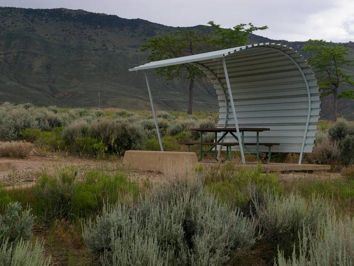
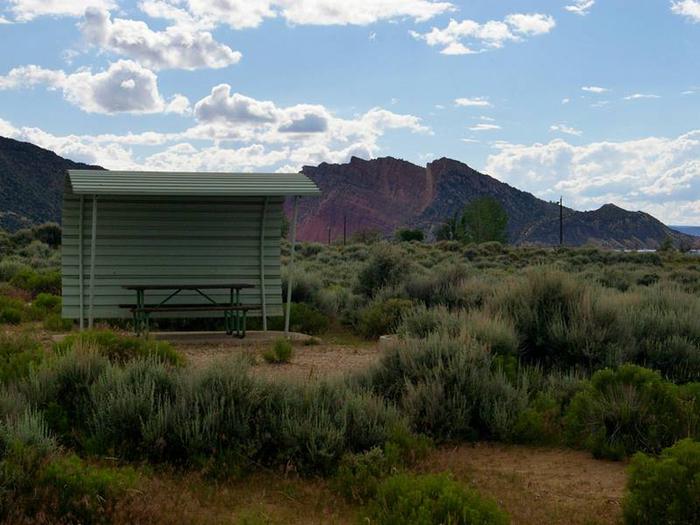
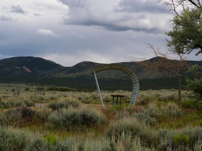
The campground contains four group sites, each with a picnic shelter, tables, campfire ring, grills and tent pads. Several family sites are available as well, each with a cabana, picnic table and campfire ring; some sites have grills.
Flush toilets, drinking water and a dump station are provided. A boat ramp is located on-site. The campground is accessed via a well-maintained gravel road.
Natural Features
Nearly every site within the campground offers scenic reservoir and mountain views. Russian olive trees and cottonwoods dot the rolling, sagebrush-covered landscape. Shade is limited, and temperatures range from warm days to cool nights.
Nearby Attractions
Flaming Gorge Dam offers guided tours of the working hydroelectric plant and the dam, and the adjacent visitor center contains area history exhibits.
The Green River below the dam provides spectacular rafting opportunities. A trip down the river offers unique geology, outlaw history and Native American rock art.