BUCKBOARD CROSSING, WY Campground Reservation, Info, Images, Map, Directions

BUCKBOARD CROSSING, Wyoming Campground Images, Info & Reservations

Directions

On Highway 530, travel 25 miles south from Green River, Wyoming. Go 2 miles east on Forest Road 009 to the campground, adjacent to Buckboard Marina.

Phone

435-784-3445

Activities

BOATING, CAMPING, FISHING, WATER SPORTS, SWIMMING SITE

Keywords

BUCH,FLAMING GORGE,ASHLEY NF – FS,Flaming Gorge National Recreation Area

Related Link(s)

Rec Area Info & Images

Forest Service Concessionaire

Overview

Buckboard Crossing Campground is located on the far northwest shore of Flaming Gorge Reservoir at an elevation of 6,100 feet. Boating, fishing and water skiing are popular activities.

Recreation

Fishing, boating, canoeing, water skiing and swimming are popular activities on the lake. Campers are offered the convenience of an adjacent boat ramp, marina and fish cleaning station. Buckboard Marina has boat rentals, fuel, slips, fishing licenses, bait and groceries.

Facilities

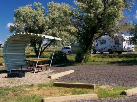
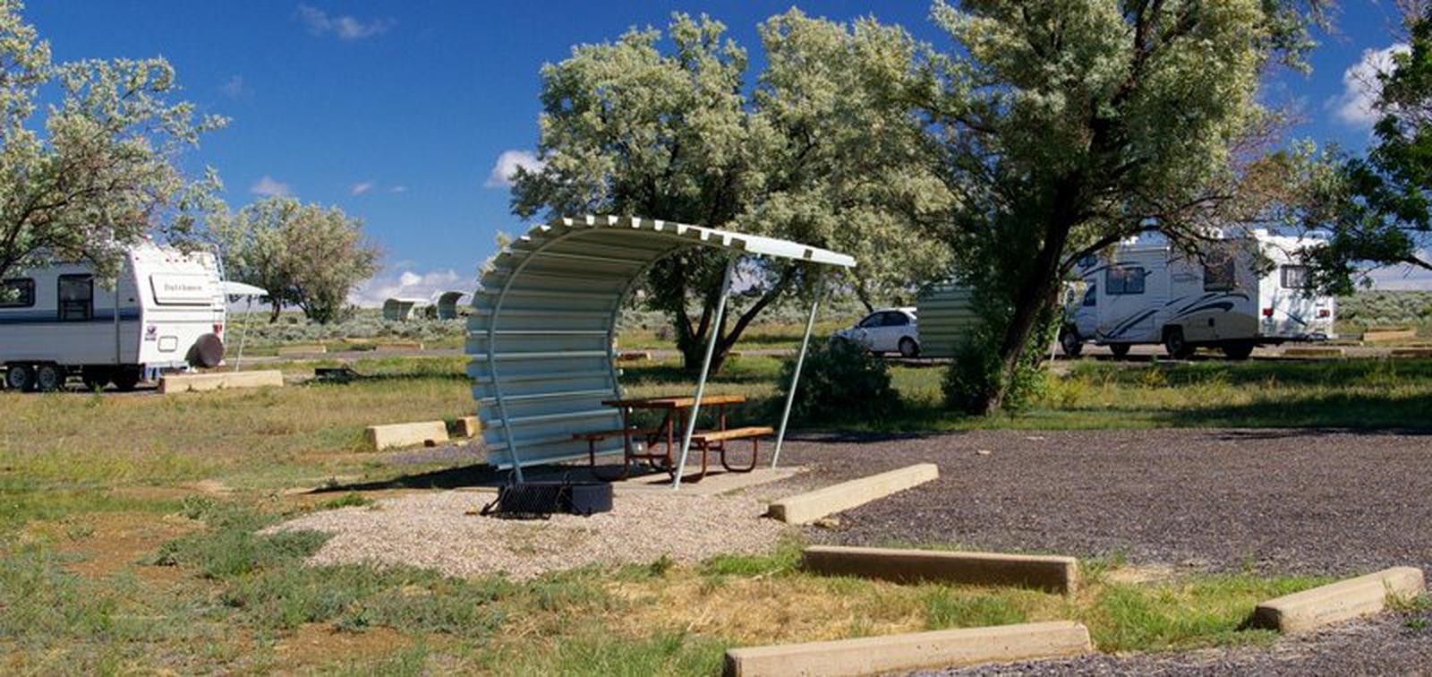
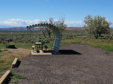
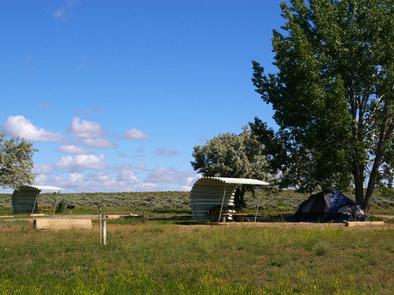
The campground consists of 66 single-family campsites, most of which can be reserved. Several sites in Loop A have electrical hookups. Most sites have a shade cabana, picnic table and campfire ring. Some sites have grills and/or fire rings.

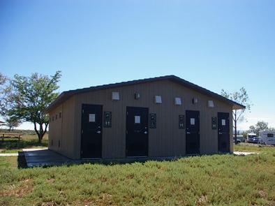
Flush toilets, drinking water and showers are provided. Non-campers can use the shower facilities for a small fee. A dump station is located on-site.

Natural Features

The campground is situated in a high desert landscape with sagebrush and a few scattered trees. Natural shade is minimal. Typical weather ranges from warm days to cool nights.

Nearby Attractions

Flaming Gorge Dam offers guided tours of the working hydroelectric plant and the dam itself; The adjacent visitor center contains area history exhibits.

Reservation

More from CampingHiking.net:

WILLOW LAKE, Utah Campground Images, Info & Reservations

Directions From Ferron Utah Willow Lake is located approximately 25 miles up Ferron Canyon, on Forest Road 022. From Mayfield Utah Willow Lake is located approximately 27 miles from Mayfield. Head East from up Forest Road 022, turn left on Skyline Drive at 12 Mile Campground then following signage towards

HAMPSHIRE ROCKS, California Campground Images, Info & Reservations

Directions From Truckee, Calif., take Highway 80 west 17 miles. Take the Rainbow/Big Bend exit. If westbound, turn left under the freeway to the campground entrance. If eastbound, turn right at the stop sign. Phone 530-478-6253 Activities BIKING, CAMPING, FISHING, HIKING, SWIMMING, WATER ACCESS, SCENIC DRIVE, HISTORIC SITES Keywords HAMP,TAHOE

Sylvania (Clark Lake) Campground, Michigan Campground Images, Info & Reservations

Directions From Watersmeet, MI, take US 2 west approximately 3.5 miles to County Road 535, turn left onto County Road 535 and travel approximately 3.5 miles to the Sylvania Wilderness Recreation Area entrance on left. Phone 906-396-5428 Activities BIKING, BOATING, CAMPING, FISHING, HIKING, HUNTING, WILDLIFE VIEWING, SWIMMING SITE Keywords Related

CRABTREE COVE, Missouri Campground Images, Info & Reservations

Directions From Stockton, Missouri, take State Highway 32 east for 3.5 miles. Turn right onto the access road and follow signs into the park area. Phone 417-276-6799 Activities BOATING, CAMPING, FISHING, HIKING, WILDLIFE VIEWING Keywords CRAT,STOCKTON LAKE,STOCKTON LAKE Related Link(s) Rec Area Info & Images Missouri State Tourism Missouri State

CURLEW CAMPGROUND, Idaho Campground Images, Info & Reservations

Directions Take the Snowville, Utah, exit off Interstate 84, northwest of Tremonton. Continue north on the paved highway for 6.5 miles. Turn left (north) at the Curlew Campground sign, then go another half-mile on a gravel road to the campground. From Holbrook, Idaho, travel 24 miles west of Malad and